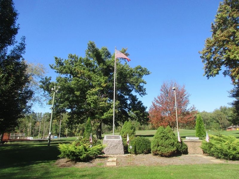
Centerburg in Knox County, Ohio — The American Midwest (Great Lakes)
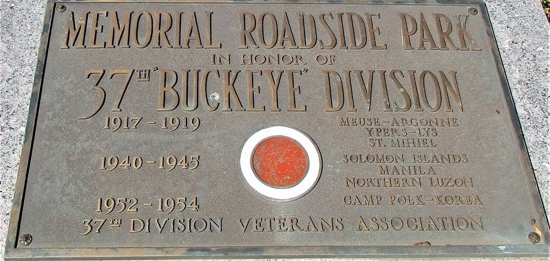
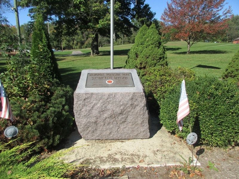
Memorial Roadside Park
In Honor of 37th Buckeye Division
1917-1919: Meuse-Argonne • Ypers-Lys • St. Mihiel
1940-1945: Solomon Islands • Manila • Northern Luzon
1952-1954: Camp Polk-Korea
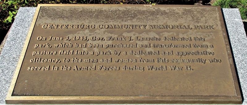
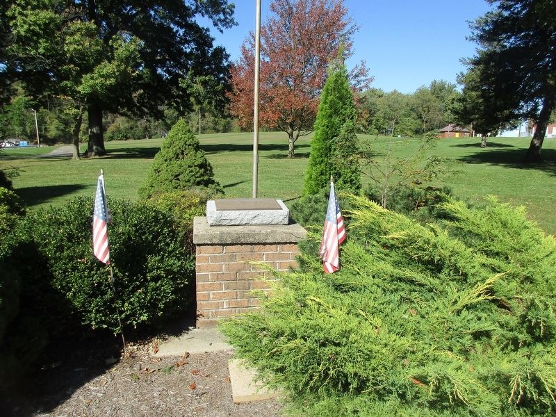
Centerburg Community Memorial Park
On June 3, 1945 Gov. Frank J. Lausche dedicated this Park, which had been purchased and transformed from a Pasture field into a park by a dedicated and appreciative citizenry, to the men and women from this community who served in the Armed Forces during World War II.
Erected 1945 by 37th Division Veterans Association.
Topics. This memorial is listed in these topic lists: Parks & Recreational Areas • War, Korean • War, World I • War, World II. A significant historical date for this entry is June 3, 1945.
Location. 40° 18.509′ N, 82° 41.502′ W. Marker is in Centerburg, Ohio, in Knox County. Memorial is at the intersection of Johnsonville Road (Ohio Route 314) and Columbus Road (U.S. 36), on the left when traveling north on Johnsonville Road. The marker is in Community Memorial Park, also called Hillair Township Park. Touch for map. Marker is at or near this postal address: 214 East Main Street, Centerburg OH 43011, United States of America. Touch for directions.
Other nearby markers. At least 8 other markers are within walking distance of this marker. Geographical Center Of Ohio (about 300 feet away, measured in a direct line); Centerburg (approx. 0.2 miles away); Circa 1930 (approx. 0.3 miles away); Circa 1920 (approx. 0.3 miles away); Circa 1910 (approx. 0.3 miles away); Circa 1890 (approx. 0.3 miles away); This 1300 Lb. Bell (approx. 0.3 miles away); General Daniel Harris Reynolds, C.S.A. (approx. 0.3 miles away). Touch for a list and map of all markers in Centerburg.
Credits. This page was last revised on October 20, 2021. It was originally submitted on October 20, 2021, by Rev. Ronald Irick of West Liberty, Ohio. This page has been viewed 178 times since then and 28 times this year. Photos: 1, 2, 3, 4, 5. submitted on October 20, 2021, by Rev. Ronald Irick of West Liberty, Ohio. • Devry Becker Jones was the editor who published this page.
