Near Petersburg in Dinwiddie County, Virginia — The American South (Mid-Atlantic)
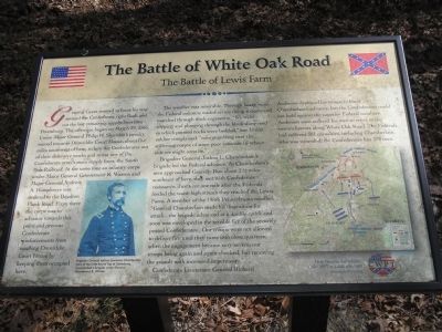
The Battle of White Oak Road
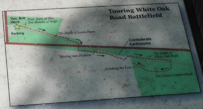
The Battle of Lewis Farm
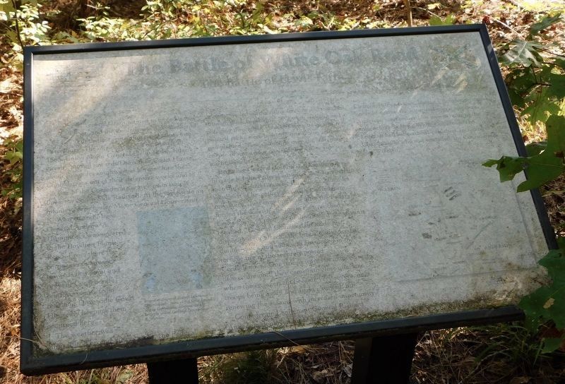
The weather was miserable. Through heavy rains, the Federal columns waded across rising streams and marched through thick vegetation. “We went slipping and plunging through the black slimy mud in which pointed rocks were bedded,” one Union soldier complained, “now stumbling over the stiffening corpse of some poor comrade by whose side we might soon lie.”
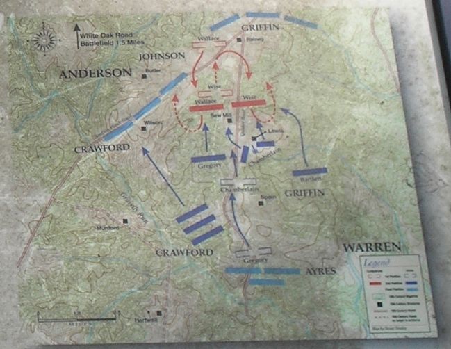
Brigadier General Joshua L. Chamberlain’s brigade led the Federal advance. As Chamberlain’s men approached Gravelly Run about 2˝ miles southeast of here, they met with Confederate resistance. Just over one mile after the Federals forded the waist-high stream they reached the Lewis Farm. A member of the 198th Pennsylvania recalled, “General Chamberlain made his disposition for attack … the brigade advanced at a double-quick and soon was enveloped in the terrible fire of the securely posted Confederates … Our troops were not allowed to deliver fire until they came into close quarters, when the engagement became very severe, our troops being again and again checked, but renewing the assault with increased impetuosity.”
Confederate Lieutenant General Richard Anderson deployed his troops to blunt Chamberlain’s advance, but the Confederates could not hold against the superior Federal numbers. Anderson soon ordered his men to retire to the entrenchments along White Oak Road. The Federals had suffered 381 casualties, including Chamberlain, who was wounded; the Confederates lost 370 men.
Erected by Civil War Preservation Trust.
Topics and series. This historical marker is listed in this topic list: War, US Civil. In addition, it is included in the Former U.S. Presidents: #18 Ulysses S. Grant series list. A significant historical date for this entry is March 29, 1865.
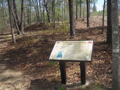
Location. 37° 9.117′ N, 77° 32.926′ W. Marker is unreadable. Marker is near Petersburg, Virginia, in Dinwiddie County. Marker can be reached from White Oak Road, on the right when traveling west. Marker is located on a walking trail that starts from the parking lot of the White Oak Road Battlefield. Touch for map. Marker is in this post office area: Petersburg VA 23803, United States of America. Touch for directions.
Other nearby markers. At least 8 other markers are within 2 miles of this location, measured as the crow flies. A different marker also named The Battle of White Oak Road (within shouting distance of this marker); White Oak Road Engagement (about 300 feet away, measured in a direct line); a different marker also named The Battle of White Oak Road (about 400 feet away); a different marker also named The Battle of White Oak Road (about 600 feet away); a different marker also named The Battle of White Oak Road (approx. 0.2 miles away); a different marker also named The Battle of White Oak Road (approx. 0.2 miles away); Gravelly Run Quaker Meeting House (approx. 1.6 miles away); Raceland (approx. 1.6 miles away). Touch for a list and map of all markers in Petersburg.
More about this marker. The bottom of the marker features a photograph of “Brigadier General Joshua Lawrence Chamberlain, hero of the Little Round Top at Gettysburg, commanded a brigade under General Gouverneur K. Warren.” The right side of the marker contains a battle map of the Battle of Lewis Farm.
Related markers. Click here for a list of markers that are related to this marker. Virtual Tour by Markers of the White Oak Road
Battlefield. To better understand the relationship, study each marker in the order shown.
Also see . . . Saving America’s Threatened Civil War Battlefields. Civil War Preservation Trust. (Submitted on December 28, 2008, by Bill Coughlin of Woodland Park, New Jersey.)
Credits. This page was last revised on February 2, 2023. It was originally submitted on December 28, 2008, by Bill Coughlin of Woodland Park, New Jersey. This page has been viewed 2,812 times since then and 44 times this year. Last updated on October 20, 2021, by Bradley Owen of Morgantown, West Virginia. Photos: 1. submitted on December 28, 2008, by Bill Coughlin of Woodland Park, New Jersey. 2. submitted on March 30, 2009. 3, 4, 5, 6. submitted on December 28, 2008, by Bill Coughlin of Woodland Park, New Jersey. 7. submitted on October 20, 2021, by Bradley Owen of Morgantown, West Virginia. • Bernard Fisher was the editor who published this page.
