Near Rapidan in Culpeper County, Virginia — The American South (Mid-Atlantic)
Battle of Cedar Mountain
The Gray Line
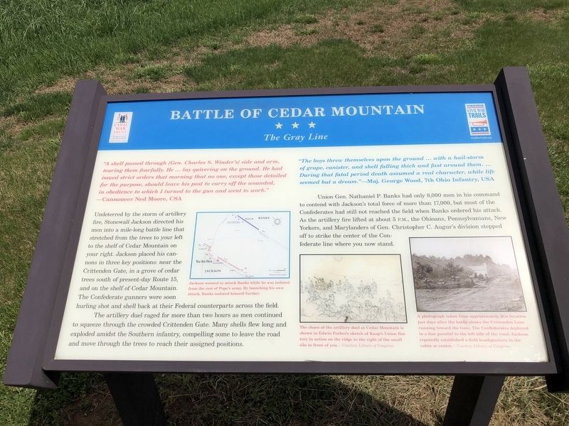
"A shell passed through [Gen. Charles S. Winder's] side and arm, tearing them fearfully. He … lay quivering on the ground. He had issued strict orders that morning that no one, except those detailed for the purpose, should leave his post to carry off the wounded, in obedience to which I turned to the gun and went to work." — Cannoneer Ned Moore, CSA
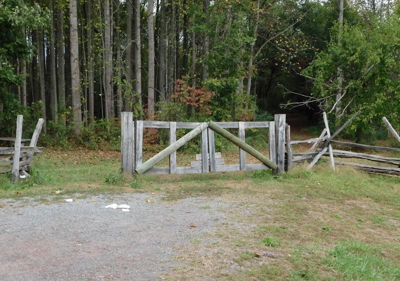
Undeterred by the storm of artillery fire, Stonewall Jackson directed his men into a mile-long battle line that stretched from the trees to your left to your shelf of Cedar Mountain on your right. Jackson placed his cannons in three key positions: near the Crittenden Gate, in a grove of cedar trees south of present-day Route 15, and on the shelf of Cedar Mountain. The Confederate gunners were soon hurling shot and shell back at their Federal counterparts across the field.
The artillery duel raged for more than two hours as men continued to squeeze through the crowded Crittenden Gate. Many shells flew long and exploded amidst the Southern infantry, compelling some to leave the road and move through the trees to reach their assigned positions.
[Caption:]
Jackson wanted to attack Banks while he was isolated from the rest of Pope's army. By launching his own attack, Banks isolated himself further.
The boys threw themselves upon the ground … with a hail-storm of grape, canister, and shell falling thick and fast around them. … During that fatal period death assumed a real character, while life seemed but a dream." — Maj. George Wood, 7th Ohio Infantry, USA
Union Gen. Nathaniel P. Banks had only 8,000 men in his command to contend with Jackson's total force of more than 17,000, but most of the Confederates had still not reached the field when Banks ordered his attack. As the artillery fire lifted about 5 P.M., the Ohioans, Pennsylvanians, New Yorkers, and Marylanders of Gen. Christopher C. Augur's division stepped off to strike the center of the Confederate line where you now stand.
[Captions:]
The chaos of the artillery duel at Cedar Mountain is shown in Edwin Forbes's sketch of Knap's Union Battery in action on the ridge to the right of the small silo in front of you.
A photograph taken from approximately this location just days after the battle shows the Crittenden Lane running toward the Gate. The Confederates deployed in a line parallel to the left side of the road. Jackson reputedly established a field headquarters in the cabin at center.
Erected by Civil War Trust; Virginia Civil War Trails.
Topics and series. This historical marker
Location. This marker has been replaced by another marker nearby. It was located near 38° 24.142′ N, 78° 4.044′ W. Marker was near Rapidan, Virginia, in Culpeper County. Marker was at the intersection of General Winder Road (Virginia Route 657) and North James Madison Highway (U.S. 15), on the right when traveling north on General Winder Road. Marker is located at Stop 3 on the Cedar Mountain Battlefield Interpretive Trail. Touch for map. Marker was at or near this postal address: 9623 N James Madison Hwy, Rapidan VA 22733, United States of America. Touch for directions.
Other nearby markers. At least 8 other markers are within walking distance of this location. A different marker also named Battle of Cedar Mountain (a few steps from this marker); a different marker also named Battle of Cedar Mountain (approx. 0.2 miles away); a different marker also named The Battle of Cedar Mountain (approx. 0.2 miles away); Hand-to-Hand Fighting (approx. 0.2 miles away); a different marker also named Battle of Cedar Mountain (approx. 0.2 miles away); a different marker also named Battle of Cedar Mountain

Photographed By Devry Becker Jones (CC0), April 17, 2021
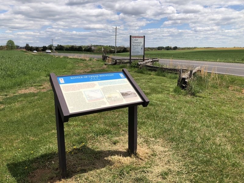
3. Cedar Mountain Battlefield signage nearby
Related marker. Click here for another marker that is related to this marker. New Marker At This Location also titled "Battle of Cedar Mountain".
Credits. This page was last revised on August 12, 2022. It was originally submitted on April 19, 2021, by Devry Becker Jones of Washington, District of Columbia. This page has been viewed 244 times since then and 28 times this year. Last updated on October 22, 2021, by Bradley Owen of Morgantown, West Virginia. Photos: 1, 2, 3. submitted on April 19, 2021, by Devry Becker Jones of Washington, District of Columbia. 4. submitted on October 21, 2021, by Bradley Owen of Morgantown, West Virginia.


