Petersburg, Virginia — The American South (Mid-Atlantic)
The Struggle Across Poor Creek
— Petersburg National Battlefield —
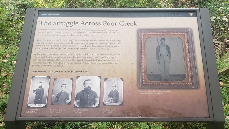
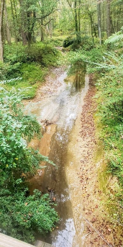
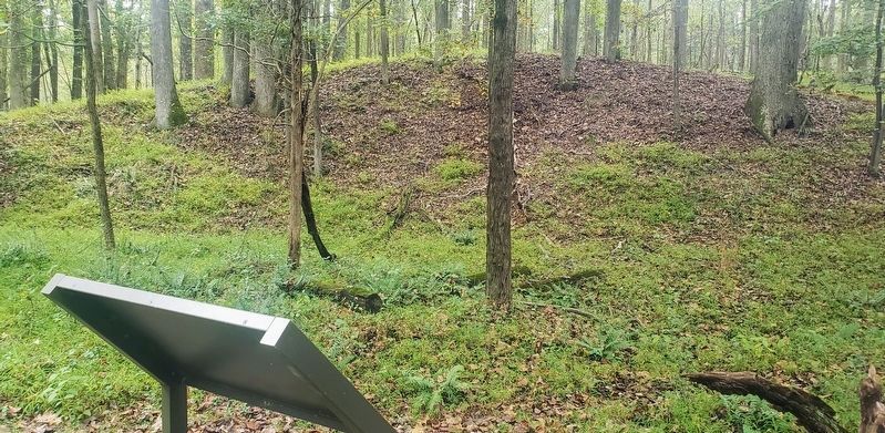
Some of these men, under fire from North Carolinian troops, moved across the stream and up the ridge in front of the Confederate works. Here they "attained a position in the undergrowth .. from which they kept up a sharp fire on the enemy," reported Turner. They had done this after seeing United States Colored Troops (USCT) capturing Confederate trenches atop the ridge.
As Turners men were about to go up the hill, some of the USCTs, who had been in close-quarters combat with Confederates, retreated down the ridge. These troops came "dashing through my men with arms at trail and bayonets fixed," Col. Louis Bell reported, "Quite a number of my men were wounded by the bayonets of the retreating troops." Turner's men were forced back to the picket line where they had started.
(captions)
These men fought across the ground before you.
Maj. Nathan Axtell 142nd N.Y. Inf.
Pvt. Robert Barrows 142nd N.Y. Inf.
Copl. John Mahoney 4th NH Inf.
Pvt. Tanner Smith 47h N.Y. Inf.
Unidentified soldier, 76th Pennsylvania Infantry
This unit fought here July 30th 1864
Erected by National Park Service, U.S. Department of the Interior.
Topics. This historical marker is listed in this topic list: War, US Civil. A significant historical date for this entry is July 30, 1864.
Location. 37° 13.177′ N, 77° 22.502′ W. Marker is in Petersburg, Virginia. Marker can be reached from Siege Road, 0.4 miles east of South Crater Road (U.S. 301), on the right when traveling west. Marker is located on the Concealment walking trail at Stop 8 on the Park Battlefield Driving Tour. Touch for map. Marker is at or near this postal address: 5001 Siege Rd, Petersburg VA 23803, United States of America. Touch for directions.
Other nearby markers. At least 8 other markers are within walking distance of this marker. Digging the Mine (about 300 feet away, measured in a direct line); Ventilation Shaft (about 400 feet away); The Crater (approx. 0.2 miles away); “A Stupendous Failure” (approx. 0.2 miles away); Confederate Counterattack (approx. 0.2 miles away); Crater of Mine (approx. 0.2 miles away); Confederate Countermine (approx. 0.2 miles away); Union High Tide (approx. 0.2 miles away). Touch for a list and map of all markers in Petersburg.
More about this marker. At Tour Stop 8, upon reaching the mine and the "Digging The Mine" marker, there is a small sign that reads "Concealment" and points towards the trail. A walk of 0.1 miles will
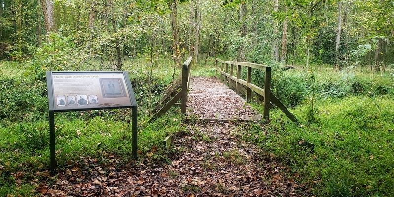
take you to the marker next to the creek.
Also see . . . Petersburg National Battlefield. National Park Service (Submitted on October 24, 2021.)
Credits. This page was last revised on August 28, 2023. It was originally submitted on October 22, 2021, by Bradley Owen of Morgantown, West Virginia. This page has been viewed 133 times since then and 23 times this year. Photos: 1, 2, 3, 4. submitted on October 22, 2021, by Bradley Owen of Morgantown, West Virginia. • Bernard Fisher was the editor who published this page.


