Burlingame in San Mateo County, California — The American West (Pacific Coastal)
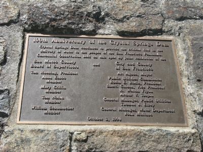
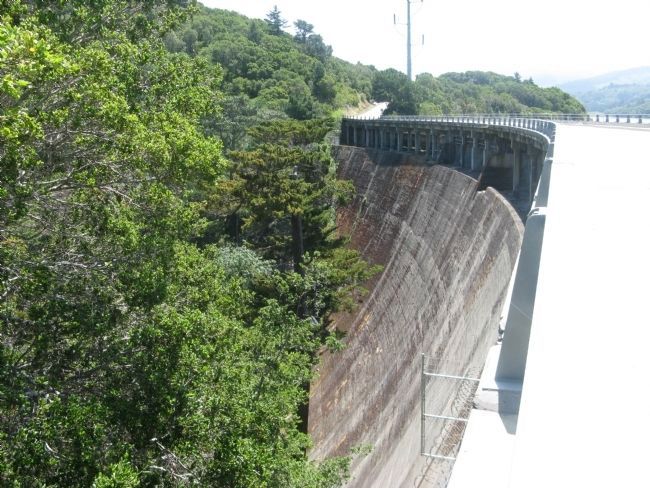
100th Anniversary of the Crystal Springs Dam
Crystal Springs Dam continues to provide the critical link in the delivery of water to the people of the San Francisco Peninsula. Centennial Observation held on this spot by joint resolution of the
San Mateo County Board of Supervisors
Tom Huening, President
Anna Eshoo, Member
Mary Griffin, Member
Tom Nolan, Member
William Schumacher, Member
and
City and County of San Francisco
Art Agnos, Mayor
Public Utilities Commission:
Rodel E. Rodis, President
Sherri Chiesa, Vice President
H. Welton Flynn
Arthur V. Toupin
General Manager, Public Utilities – Thomas J. Elzey
General Manager, Water Department – John Mullane
October 3, 1990
Erected 1990 by San Mateo County Board of Supervisors, City & County of San Francisco, Public Utilities Commission and San Francisco Water Department.
Topics and series. This historical marker is listed in these topic lists: Charity & Public Work • Waterways & Vessels. In addition, it is included in the ASCE Civil Engineering Landmarks series list. A significant historical month for this entry is October 1935.
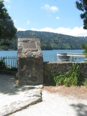
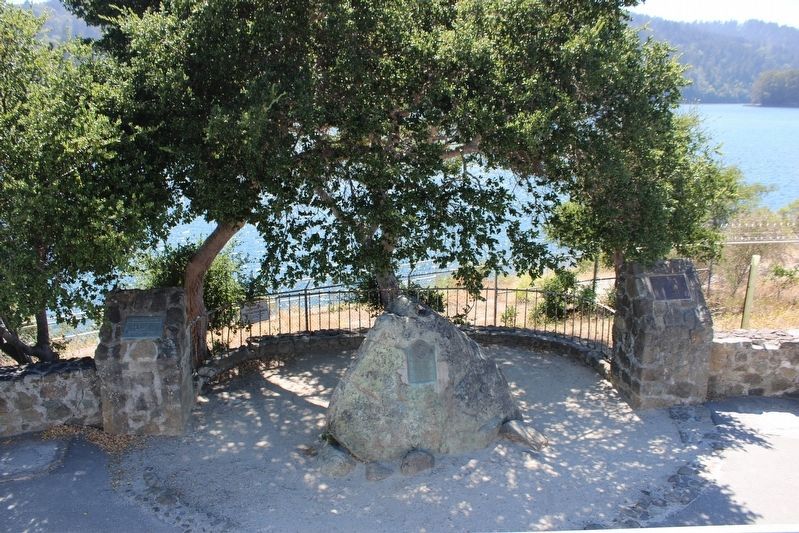
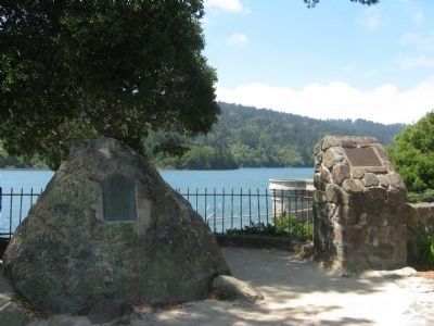
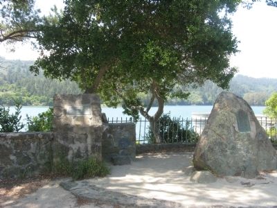
Location. 37° 31.78′ N, 122° 21.767′ W. Marker is in Burlingame, California, in San Mateo County. Marker is on Skyline Boulevard west of Crystal Springs Road when traveling south. Marker is located at the turn out just north of the Crystal Springs Dam. Touch for map. Marker is in this post office area: Burlingame CA 94010, United States of America. Touch for directions.
Other nearby markers. At least 8 other markers are within 3 miles of this marker, measured as the crow flies. A Feat of Gravity (a few steps from this marker); Officer Eugene A. Doran (about 600 feet away, measured in a direct line); The Last Stagecoach Hold-Up In San Mateo County (approx. ¼ mile away); Eugene A. Doran Memorial Bridge (approx. 0.6 miles away); Len Turner (approx. 2.6 miles away); Historic Camp Site (approx. 2.9 miles away); Higurashi-en (approx. 3 miles away); First Business Structure (approx. 3.1 miles away).
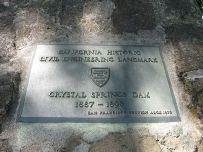
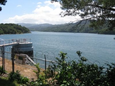
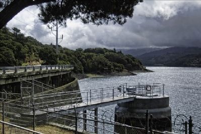
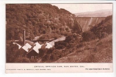
Regarding 100th Anniversary of the Crystal Springs Dam. The final step in controlling the flow of water that drained the valley formed by the San Andreas Fault came in 1887 when the Spring Valley Water Company of San Francisco began building a dam at the gap in the hills where the San Mateo Creek flowed toward the city of San Mateo. In 1889, the projected height of the dam reached 120 feet and although it was thought it would take a decade to fill a new lake, it took less than a year. An especially wet year filled it up fast, and the water flowed over the top. Another 25 feet of cement was added to the dam to control this in the future. Crystal Springs Reservoir is part of the San Francisco Water Department Hetch-Hetchy Project, supplying water to the City of San Francisco and communities on the San Francisco Peninsula.
Also see . . . Crystal Springs Dam. Wikipedia entry. (Submitted on October 17, 2020, by Larry Gertner of New York, New York.)
Credits. This page was last revised on January 22, 2024. It was originally submitted on April 29, 2009, by Syd Whittle of Mesa, Arizona. This page has been viewed 2,541 times since then and 59 times this year. Photos: 1, 2. submitted on April 29, 2009, by Syd Whittle of Mesa, Arizona. 3. submitted on July 20, 2022, by Joseph Alvarado of Livermore, California. 4, 5, 6, 7, 8, 9. submitted on April 29, 2009, by Syd Whittle of Mesa, Arizona. 10. submitted on October 28, 2011, by Evan Reader of San Mateo, California. 11, 12. submitted on May 22, 2009, by Syd Whittle of Mesa, Arizona. 13. submitted on April 29, 2009, by Syd Whittle of Mesa, Arizona.
