Soperton in Treutlen County, Georgia — The American South (South Atlantic)
The Curt Barwick House
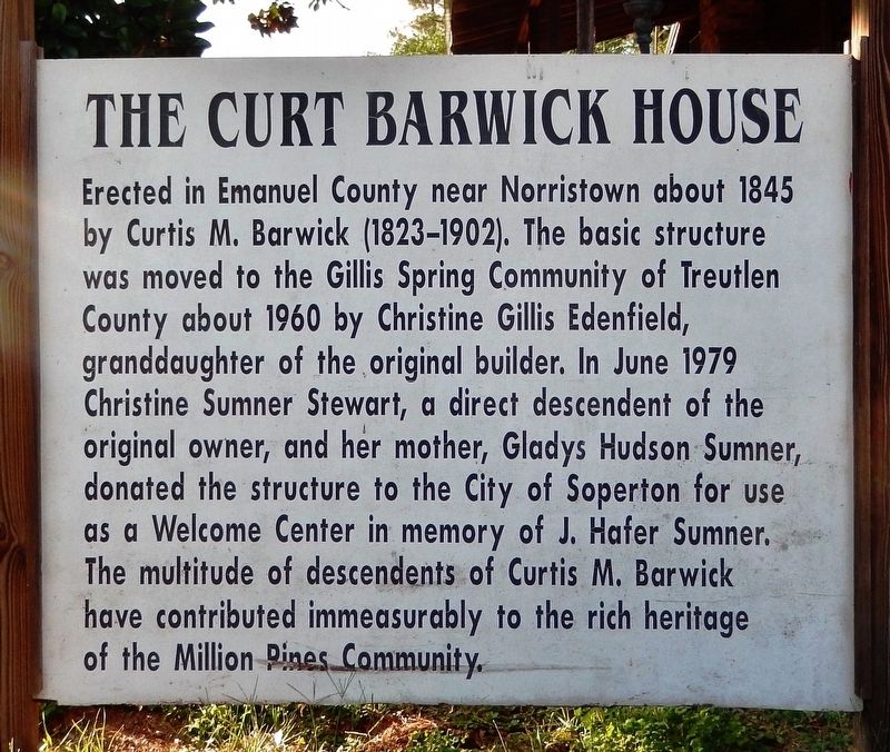
Photographed by Cosmos Mariner, October 9, 2021
1. The Curt Barwick House Marker
Topics. This historical marker is listed in this topic list: Settlements & Settlers. A significant historical year for this entry is 1845.
Location. 32° 26.226′ N, 82° 40.697′ W. Marker is in Soperton, Georgia, in Treutlen County. It can be reached from State Highway 29 just south of Jim Gillis Historic Savannah Parkway (Interstate 16), on the left when traveling south. Marker and subject house are located on the northwest side of the truck stop and welcome center at this address. Touch for map. Marker is at or near this postal
this page online

Regionally, this marker is on the Coastal Plain. It is also in the American South and specifically in the Deep South. Globally, it is in North America, the Western Hemisphere, the Western World, and the Anglosphere. Historically, it finds itself in what was once the territory of the Mississippian Culture, one of the original Thirteen Colonies, one of the Confederate States of America, and the Antebellum South.
Other nearby markers. At least 3 other markers are within 9 miles of this marker, measured as the crow flies: Treutlen County (approx. 6½ miles away); To Gov. Troup's Tomb (approx. 6½ miles away); Gov. Troup’s Tomb (approx. 7.1 miles away).
Another marker is no longer nearby. Governor Troup's Home (was approx. 9 miles away but has been confirmed missing).
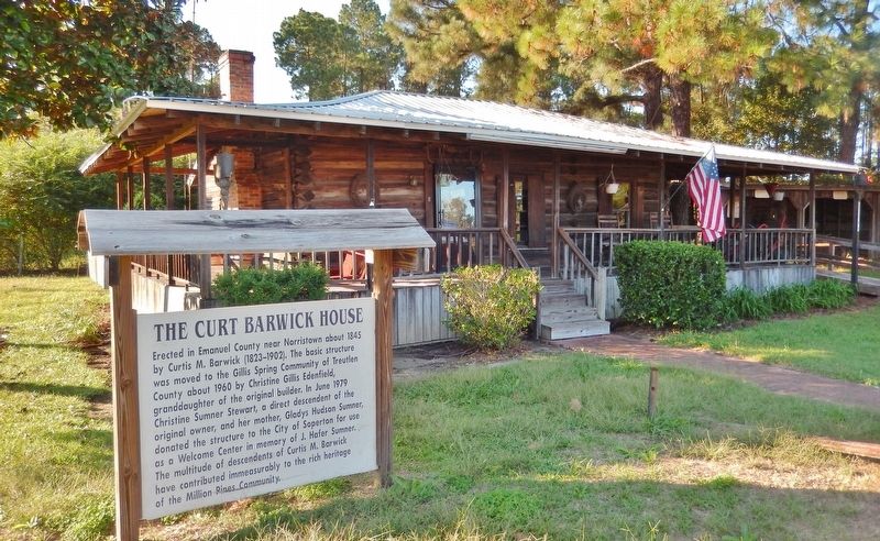
Photographed by Cosmos Mariner, October 9, 2021
2. The Curt Barwick House Marker
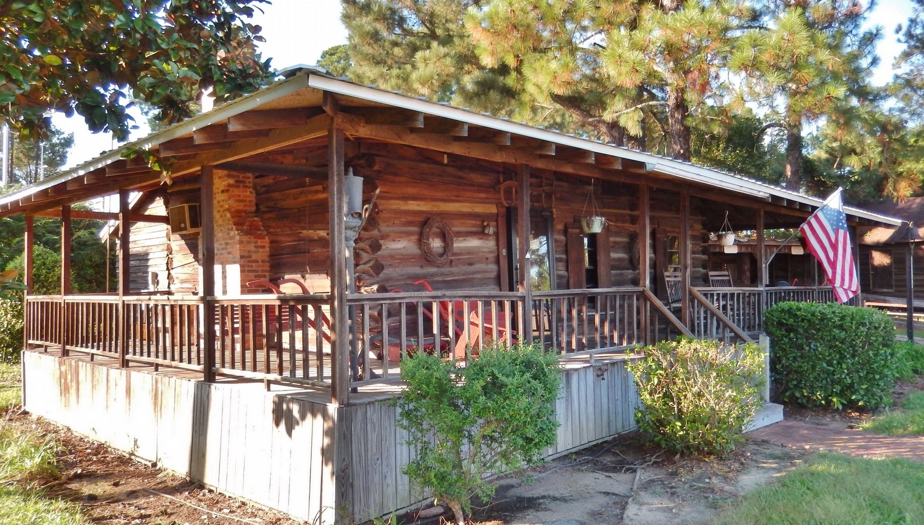
Photographed by Cosmos Mariner, October 9, 2021
3. The Curt Barwick House
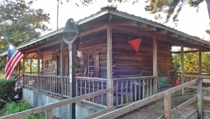
Photographed by Cosmos Mariner, October 9, 2021
4. The Curt Barwick House
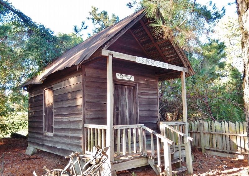
Photographed by Cosmos Mariner, October 9, 2021
5. Blackville, Georgia Post Office (1888-1904)
Credits. This page was last revised on October 23, 2021. It was originally submitted on October 23, 2021, by Cosmos Mariner of Cape Canaveral, Florida. This page has been viewed 974 times since then and 76 times this year. Photos: 1, 2, 3, 4, 5. submitted on October 23, 2021, by Cosmos Mariner of Cape Canaveral, Florida.
