St. George in Tucker County, West Virginia — The American South (Appalachia)
First County Seat / Fort Minear
First County Seat. Here stood Tuckerís first courthouse. Confederate flag raised over it, May, 1861. The town changed sides ten times during the Civil War. "County Seat War" ended Aug 1, 1893, when records removed by armed men.
Fort Minear. Erected by John Minear in 1776, who with a group of immigrants later founded St. George. Settlement site of American Indian raids in spring of 1780. Minear and son Jonathan among those killed in 1781 attack.
Erected 2001 by West Virginia Department of Archives and History.
Topics. This historical marker is listed in these topic lists: Settlements & Settlers • War, US Civil. A significant historical month for this entry is May 1861.
Location. Marker is missing. It was located near 39° 9.962′ N, 79° 42.238′ W. Marker was in St. George, West Virginia, in Tucker County. Marker was at the intersection of Location Road (County Route 5) and Limestone Road, on the left when traveling east on Location Road. Touch for map. Marker was in this post office area: Parsons WV 26287, United States of America. Touch for directions.
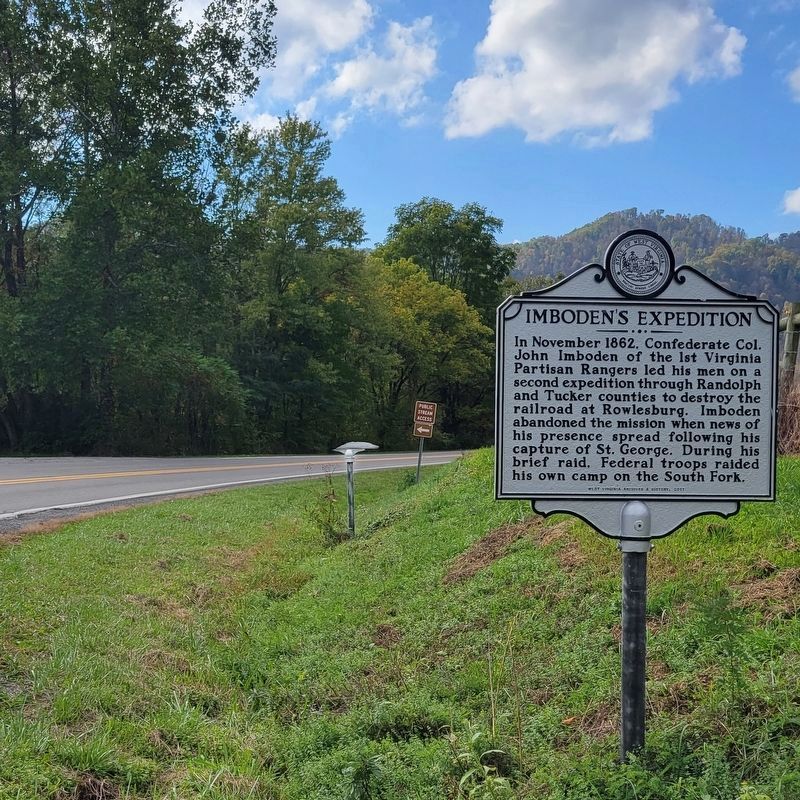
Other nearby markers. At least 8 other markers are within 5 miles of this location, measured as the crow flies. Capture of St. George / Imbodenís Expedition (a few steps from this marker); St. George (approx. 0.3 miles away); Saint George Academy (approx. 0.3 miles away); Jonathan Minear (approx. 1.8 miles away); Flood of November 4-5, 1985 Memorial (approx. 4.9 miles away); Tucker County Courthouse (approx. 5 miles away); Tucker County Bank Building (approx. 5 miles away); Corrick's Ford Battle (approx. 5 miles away). Touch for a list and map of all markers in St. George.
Related marker. Click here for another marker that is related to this marker.
Credits. This page was last revised on October 24, 2021. It was originally submitted on October 23, 2021, by J. J. Prats of Powell, Ohio. This page has been viewed 350 times since then and 57 times this year. Photos: 1, 2, 3. submitted on October 23, 2021, by J. J. Prats of Powell, Ohio.
Editor’s want-list for this marker. Marker is missing. Check to see if it has been replaced. • Can you help?


