Near Winter Harbor in Hancock County, Maine — The American Northeast (New England)
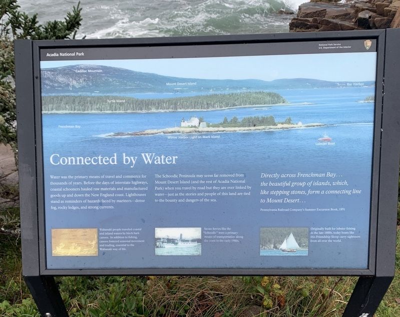
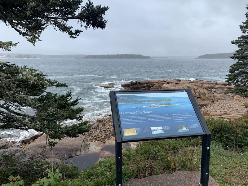
Connected by Water
Directly across Frenchman Bay... the beautiful group of islands, which, like stepping stones, form a connecting line to Mount Desert...
Pennsylvania Railroad Company's Summer Excursion Book, 1891
Water was the primary means of travel and commerce for thousands of years. Before the days of interstate highways, coastal schooners hauled raw materials and manufactured goods up and down the New England coast. Lighthouses stand as reminders of hazards faced by mariners-dense fog, rocky ledges, and strong currents.
The Schoodic Peninsula may seem far removed from Mount Desert Island (and the rest of Acadia National Park) when you travel by road but they are ever linked by water - just as the stories and people of this land are tied to the bounty and dangers of the sea.
Wabanaki people traveled coastal and inland waters by birch bark canoes. In addition to fishing, canoes fostered seasonal movement and trading, essential to the Wabanaki way of life.
Steam ferries like the "Schoodic” were a primary means of transportation along the coast in the early 1900s.
Originally built for lobster fishing in the late 1800s, today boats like this Friendship Sloop carry sightseers from all over the world.
Erected by National Park Service .
Topics. This historical marker is listed in this topic list: Waterways & Vessels. A significant historical year for this entry is 1891.
Location. 44° 21.9′ N, 68° 4.579′ W. Marker is near Winter Harbor, Maine, in Hancock County. Marker is on Schoodic Loop Road, 2.4 miles south of Route 186, on the right when traveling south. Touch for map. Marker is in this post office area: Winter Harbor ME 04693, United States of America. Touch for directions.
Other nearby markers. At least 8 other markers are within 4 miles of this marker, measured as the crow flies. Karl A. Jacobson (approx. 1.2 miles away); Discover Architectural Gems in a DownEast Village (approx. 2 miles away); Fires Changed the Face of Winter Harbor Again & Again (approx. 2 miles away); Lighthouses Warned Ships of Danger Down East (approx. 2.1 miles away); Not a Typical Military Barracks (approx. 2.2 miles away); John Godfrey Moore (approx. 2.3 miles away); Gouldsboro Veterans Memorial (approx. 3.8 miles away); When the ocean was the great highway for travel (approx. 3.8 miles away). Touch for a list and map of all markers in Winter Harbor.
Credits. This page was last revised on October 30, 2021. It was originally submitted on October 24, 2021, by Steve Stoessel of Niskayuna, New York. This page has been viewed 88 times since then and 3 times this year. Photos: 1, 2. submitted on October 24, 2021, by Steve Stoessel of Niskayuna, New York. • Michael Herrick was the editor who published this page.

