Bar Harbor in Hancock County, Maine — The American Northeast (New England)
Village Green
Photographed by Steve Stoessel, October 21, 2021
1. Village Green Marker
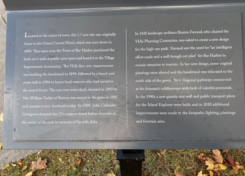
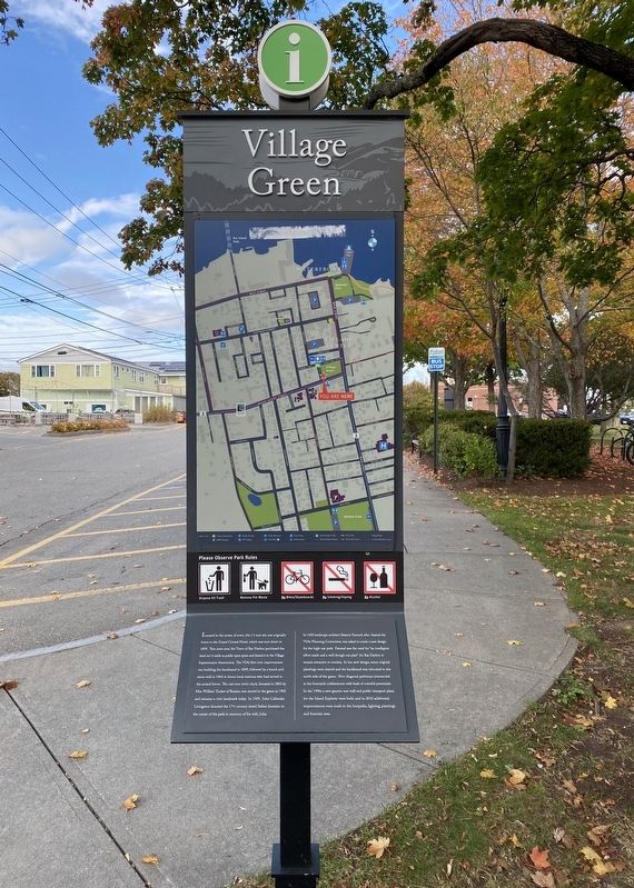
Located in the center of town, this 1.5 acre site was originally home to the Grand Central Hotel, which was torn down in 1899. That same year, the Town of Bar Harbor purchased the land, set it aside as public open space and leased it to the Village Improvement Association. The VIA's first civic improvement was building the bandstand in 1899, followed by a bench and stone wall in 1904 to honor local veterans who had served in the armed forces. The cast iron town clock, donated in 1892 by Mrs. William Tucker of Boston, was moved to the green in 1905 and remains a civic landmark today. In 1909, John Callendar Livingston donated the 17TH century tiered Italian fountain in the center of the park in memory of his wife, Julia.
In 1920 landscape architect Beatrix Farrand, who chaired the VIA's Planning Committee, was asked to create a new design for the high-use park. Farrand saw the need for “an intelligent effort made and a well though out plan” for Bar Harbor to remain attractive to tourists. In her new design, some original plantings were altered and the bandstand was relocated to the north side of the green. New
this page online
Topics. This historical marker is listed in this topic list: Parks & Recreational Areas. A significant historical year for this entry is 1899.
Location. 44° 23.244′ N, 68° 12.325′ W. Marker is in Bar Harbor, Maine, in Hancock County. It is at the intersection of Kennebec Street and Mount Desert Street (Maine Route 3), on the right when traveling north on Kennebec Street. Touch for map. Marker is in this post office area: Bar Harbor ME 04609, United States of America. Touch for directions.

Regionally, this marker is on Mount Desert Island and in Downeast Maine. It is also in the American Northeast, in New England, and on the Eastern Seaboard. Globally, it is in the North Atlantic Region, North America, the Great North Woods, the Western Hemisphere, the Western World, and the Anglosphere. Historically, it finds itself in what was once
Photographed by Steve Stoessel, October 21, 2021
2. Village Green Marker
Other nearby markers. At least 8 other markers are within walking distance of this marker: Veterans Memorial (within shouting distance of this marker); Donald A. Wood Band Stand (within shouting distance of this marker); The Abbe Museum & Congregational Church / Le Musée Abbe et L'Élise Congrégationaliste (within shouting distance of this marker); The Village Green / Le Jardin Public (within shouting distance of this marker); Civil War Memorial (about 300 feet away, measured in a direct line); The Bar Harbor Fire Department / Les Pompiers de Bar Harbor (about 300 feet away); Mt. Desert Island (about 300 feet away); The Village Burying Ground (about 300 feet away). Touch for a list and map of all markers in Bar Harbor.
Photographed by Steve Stoessel, October 21, 2021
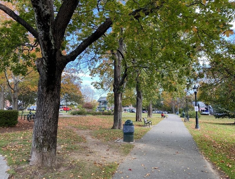
3. The Village Green Seen From The Marker
Credits. This page was last revised on October 30, 2021. It was originally submitted on October 25, 2021, by Steve Stoessel of Niskayuna, New York. This page has been viewed 315 times since then and 25 times this year. Photos: 1, 2, 3. submitted on October 25, 2021, by Steve Stoessel of Niskayuna, New York. • Michael Herrick was the editor who published this page.
