Winter Harbor in Hancock County, Maine — The American Northeast (New England)
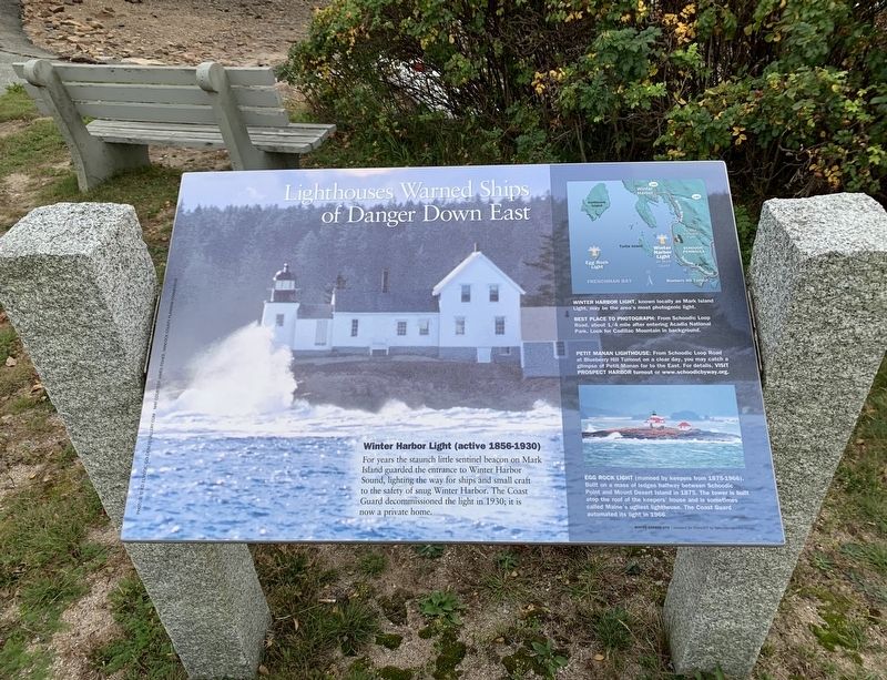
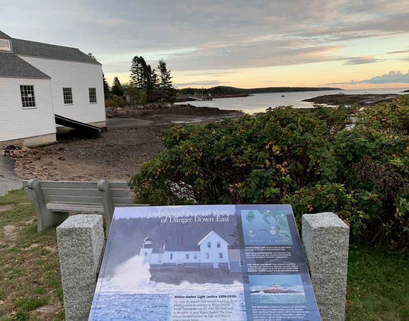
Lighthouses Warned Ships of Danger Down East
Inscription.
Winter Harbor Light (active 1856-1930)
For years the staunch little sentinel beacon on Mark Island guarded the entrance to Winter Harbor Sound, lighting the way for ships and small craft to the safety of snug Winter Harbor. The Coast Guard decommissioned the light in 1930; it is now a private home.
Right Inset:
Winter Harbor Light, known locally as Mark Island Light, may be the area's most photogenic light.
Best Place to Photograph: From Schoodic Loop Road, about 1/4 mile after entering Acadia National Park. Look for Cadillac Mountain in background.
Petit Manan Lighthouse: From Schoodic Loop Road at Blueberry Hill Turnout on a clear day, you may catch a glimpse of Petit Manan far to the East. For details, VISIT PROSPECT HARBOR turnout or www.schoodicbyway.org.
Egg Rock Light (manned by keepers from 1875-1966). Built on a mass of ledges halfway between Schoodic Point and Mount Desert Island in 1875. The tower is built atop the roof of the keepers' house and is sometimes called Maine's ugliest lighthouse. The Coast Guard automated its light in 1966.
Winter Harbor Site - prepared for MaineDOT by Nancy Montgomery Design
Erected by Maine Department of Transportation.
Topics. This historical marker is listed in this topic list: Waterways & Vessels. A significant historical year for this entry is 1930.
Location. 44° 23.69′ N, 68° 5.036′ W. Marker is in Winter Harbor, Maine, in Hancock County. Marker is on Main Street (Maine Route 186) near Newman Street (Maine Route 186), on the right when traveling east. Touch for map. Marker is in this post office area: Winter Harbor ME 04693, United States of America. Touch for directions.
Other nearby markers. At least 8 other markers are within 3 miles of this marker, measured as the crow flies. Fires Changed the Face of Winter Harbor Again & Again (approx. ¼ mile away); Discover Architectural Gems in a DownEast Village (approx. ¼ mile away); Karl A. Jacobson (approx. 1.3 miles away); Connected by Water (approx. 2.1 miles away); Gouldsboro Veterans Memorial (approx. 2.9 miles away); When the ocean was the great highway for travel (approx. 2.9 miles away); Down East Lights (approx. 2.9 miles away); Gouldsboro Town Park (approx. 3 miles away). Touch for a list and map of all markers in Winter Harbor.
Credits. This page was last revised on November 1, 2021. It was originally submitted on October 25, 2021, by Steve Stoessel of Niskayuna, New York. This page has been viewed 130 times since then and 11 times this year. Photos: 1, 2. submitted on October 25, 2021, by Steve Stoessel of Niskayuna, New York. • Michael Herrick was the editor who published this page.

