Chamberlain in Brule County, South Dakota — The American Midwest (Upper Plains)
Chamberlain
1880
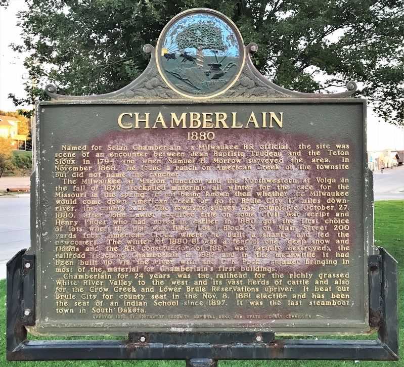
The Milwaukee at Marion Junction and the Northwestern at Volga in the fall of 1879 stockpiled materials all winter for the race for the Missouri in the spring; it not being known then whether the Milwaukee would come down American Creek or go to Brule City 17 miles downriver, the county seat. The townsite survey was completed October 27, 1880, after John Lawler acquired title on some Civil War script and Henry Pilger who had moved in earlier in 1880 got the first choice of lots when the plat was filed, Lot 1 Block 3, on Main Street 200 yards from American Creek where he built a shanty and fed the newcomers. The winter of 1880-81 was a fearful one, deep snow and floods and the RR construction of 1880 was largely destroyed; the railroad reaching Chamberlain in 1882 and in the meanwhile it had been built up via the river with the C. K. Peck, steamer bringing in most of the material for Chamberlain’s first buildings.
Chamberlain for 24 years was the railhead for the richly grassed White River Valley to the west and its vast herds of cattle and also for the Crow Creek and Lower Brule Reservations upriver. It beat out Brule City for county seat in the Nov. 8, 1881 election and has been the seat of an Indian School since 1897. It was the last steamboat town in South Dakota.
Erected 1956 by Northwest Security National Bank and State Highway Commission. (Marker Number 169.)
Topics and series. This historical marker is listed in this topic list: Settlements & Settlers. In addition, it is included in the South Dakota State Historical Society Markers series list. A significant historical date for this entry is October 27, 1880.
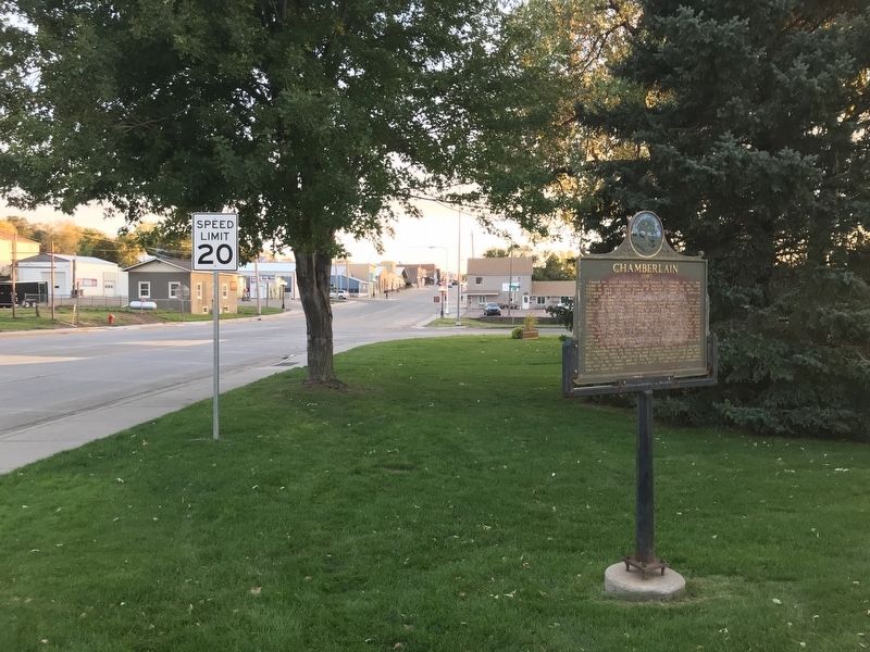
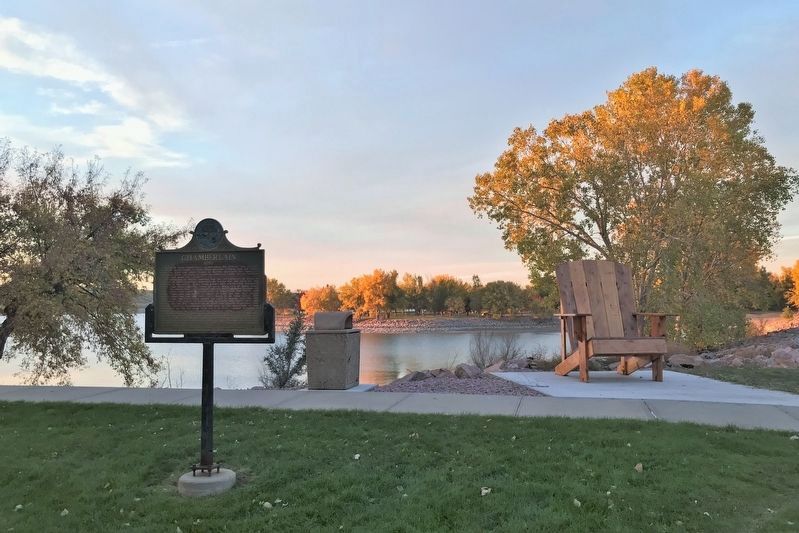
Location. 43° 48.874′ N, 99° 19.685′ W. Marker is in Chamberlain, South Dakota, in Brule County. Marker is at the intersection of North Main Street (State Highway 50) and Rodeo Avenue, on the left when traveling north on North Main Street. The marker is located in the northeast corner of Barger Park in Chamberlain. Touch for map. Marker is at or near this postal address: 335-347 N Courtland Street, Chamberlain SD 57325, United States of America. Touch for directions.
Other nearby markers. At least 8 other markers are within 2 miles of this marker, measured as the crow flies. Barger Park (about 400 feet away, measured in a direct line); St. Joseph's Memorial (approx. ¾ mile away); Divine Infant Home (approx. ¾ mile away); Roland L. Dolly Memorial Recreational Trail (approx. 1.1 miles away); The Missouri River (approx. 1.2 miles away); The Plant Life (approx. 1.2 miles away); This was until 1953 American Island (approx. 1.4 miles away); Missouri River Bridges of South Dakota (approx. 2 miles away). Touch for a list and map of all markers in Chamberlain.
Credits. This page was last revised on October 26, 2021. It was originally submitted on October 25, 2021. This page has been viewed 520 times since then and 76 times this year. Photos: 1, 2, 3, 4. submitted on October 25, 2021. • J. Makali Bruton was the editor who published this page.


