Sioux Falls in Minnehaha County, South Dakota — The American Midwest (Upper Plains)
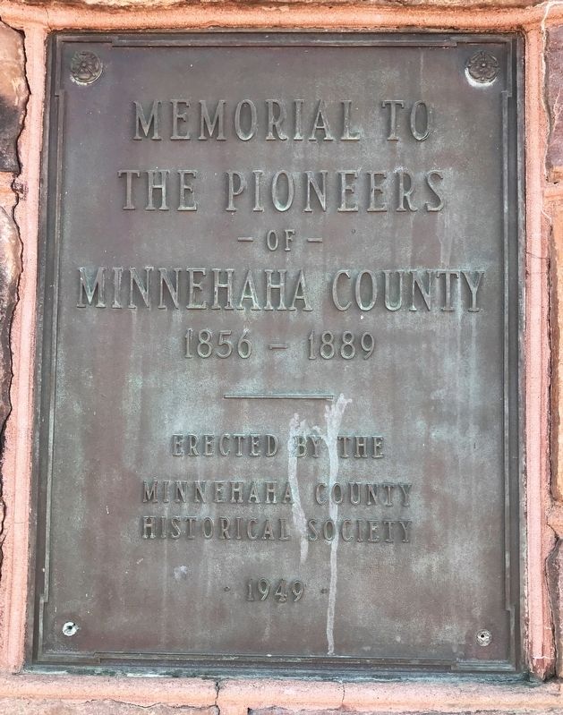
Memorial to the Pioneers of Minnehaha County
1856 – 1889
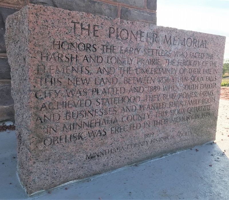
— The Pioneer Memorial —
the Pioneers
of
Minnehaha County
1856 – 1889
Erected by the
Minnehaha County
Historical Society
- 1949 -
Minnehaha County Historical Society
Erected 1949 by the Minnehaha County Historical Society. (Marker Number 605.)
Topics and series. This historical marker is listed in this topic list: Settlements & Settlers. In addition, it is included in the South Dakota State Historical Society Markers series list. A significant historical year for this entry is 1856.
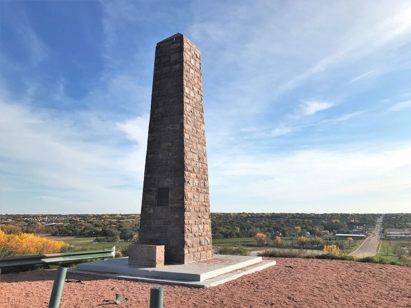
Location. 43° 34.451′ N, 96° 42.705′ W. Marker is in Sioux Falls, South Dakota, in Minnehaha County. Marker is on North Drive, 0.3 miles east of East Maple Street, on the right when traveling east. The marker and monument are located at the easternmost point of North Drive, at the dead end. Touch for map. Marker is at or near this postal address: 2402 North Dr, Sioux Falls SD 57104, United States of America. Touch for directions.
Other nearby markers. At least 8 other markers are within 2 miles of this marker, measured as the crow flies. The Amidon Affair (here, next to this marker); Amidon Graves Mystery (about 600 feet away, measured in a direct line); Magma (approx. 0.4 miles away); Albert M. Mansor (approx. 0.7 miles away); First Concrete State Highway (approx. 0.8 miles away); Frederick Manfred’s “Siouxland” (approx. 1.2 miles away); The Dubuque House (approx. 1.2 miles away); Human Timeline (approx. 1.2 miles away). Touch for a list and map of all markers in Sioux Falls.
Credits. This page was last revised on October 27, 2021. It was originally submitted on October 27, 2021. This page has been viewed 219 times since then and 16 times this year. Photos: 1, 2, 3. submitted on October 27, 2021. • J. Makali Bruton was the editor who published this page.


