Centro histórico de Morelia , Michoacán, Mexico — The Pacific Coast (and Central Highlands)
Adolfo Tremontels
Photographed by J. Makali Bruton, September 30, 2021
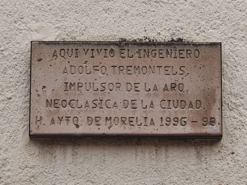
1. Adolfo Tremontels Marker

H. Ayto. de Morelia, 1996-98.
Here lived the engineer Adolfo Tremontels, promoter of the Neoclassical architecture of the city.
Honorable City Council of Morelia, 1996-98.
Erected 1996 by Honorable Ayuntamiento de Morelia.
Topics. This historical marker is listed in this topic list: Architecture.
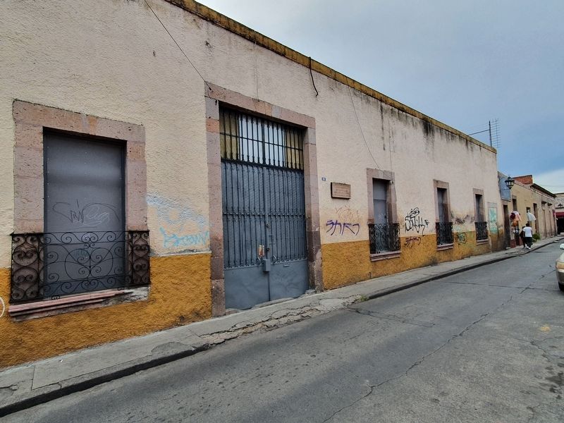
Location. 19° 41.996′ N, 101° 11.355′ W. Marker is in Morelia, Michoacán. It is in Centro histórico de Morelia. It is on Mariano Elizaga east of Vasco de Quiroga, on the right when traveling east. Touch for map. Marker is at or near this postal address: Mariano Elizaga 57, Morelia MIC 58000, Mexico. Touch for directions.

Regionally, this marker is in Western Mexico, in the Bajío, and on the Pacific Coast. Globally, it is in North America, specifically in Mesoamerica, on the Ring of Fire, on the Pacific Rim, and in the Western Hemisphere. Historically, it finds itself in what was once New Spain, a Spanish colony, and the Aztec Empire.
Other nearby markers. At
this page online
Photographed by J. Makali Bruton, September 30, 2021
2. Adolfo Tremontels Marker
Credits. This page was last revised on April 4, 2025. It was originally submitted on October 27, 2021, by J. Makali Bruton of Washington, District of Columbia. This page has been viewed 232 times since then and 16 times this year. Photos: 1, 2. submitted on October 27, 2021, by J. Makali Bruton of Washington, District of Columbia.
