Butte in Silver Bow County, Montana — The American West (Mountains)
Tuttle Building
Butte National Historic Landmark District
Photographed by Barry Swackhamer, July 12, 2021
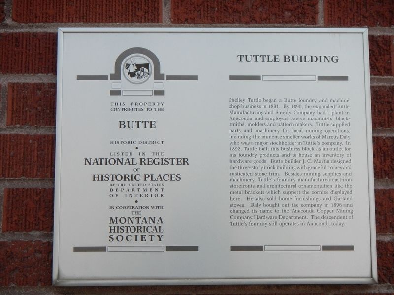
1. Tuttle Building Marker
Inscription.
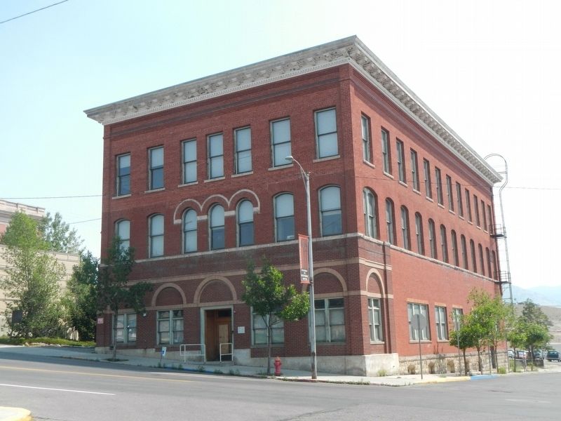
Shelley Tuttle began a Butte foundry and machine shop business in 1881. By 1890, the expanded Tuttle Manufacturing and Supply Company had a plant in Anaconda and employed twelve machinists, blacksmiths, molders, and pattern makers. Tuttle supplied parts and machinery for local mining operations, including the immense smelter works of Marcus Daly, who was a major stockholder in Tuttle’s company. In 1892, Tuttle built this business block as an outlet for his foundry products and to house an inventory of hardware goods. Butte builder J. C. Martin designed the three-story brick building with graceful brick arches and rusticated stone trim. Besides mining supplies and machinery, Tuttle’s foundry manufactured cast-iron storefronts and architectural ornamentation like the metal brackets that support the cornice displayed here. He also sold home furnishings and Garland stoves. Daly bought out the company in 1896 and changed its name to the Anaconda Copper Mining Company Hardware Department. The descendent of Tuttle’s foundry still operates in Anaconda today.
Location. 46° 0.929′ N, 112° 32.152′ W. Marker is in Butte, Montana, in Silver Bow County. It is on North Main Street near East Quartz Street, on the right when traveling north. Touch for map. Marker is at or near this postal address: 304 North Main Street, Butte MT 59701, United States of America. Touch for directions.
Regionally, this marker is in andspecifically outhwest Montana, in Gold West Country, in Mining Country. It is also in the American Mountain West and in the Lewis & Clark Corridor. Globally, it is in North America, the Rocky Mountains, the Western Hemisphere, the Western World, and the Anglosphere. Historically, it finds itself in what was once Rupert’s Land and also the Louisiana Purchase.
Credits. This page was last revised on January 10, 2025. It was originally submitted on October 29, 2021, by Barry Swackhamer of Brentwood, California. This page has been viewed 405 times since then and 55 times this year. Photos:1, 2. submitted on October 29, 2021, by Barry Swackhamer of Brentwood, California.