Butte in Silver Bow County, Montana — The American West (Mountains)
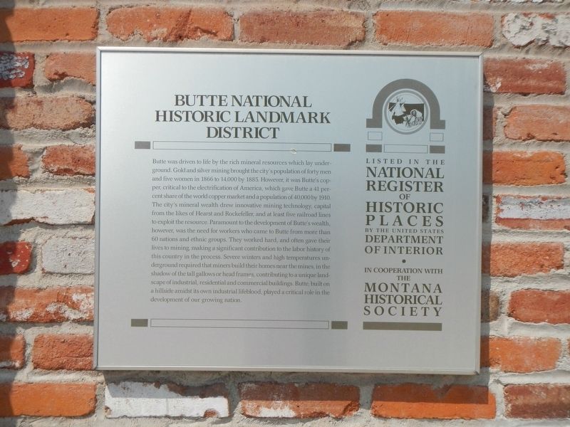
Butte National Historic Landmark District
Photographed by Barry Swackhamer, July 12, 2021
1. Butte National Historic Landmark District Marker
Inscription.
Butte was driven to life by the rich mineral resources which lay underground. Gold and silver mining brought the city's population of forty men and five women in 1866 to 14,000 by 1885. However, it was Butte's copper, critical to the electrification of America which gave Butte a 41 percent share of the worlds copper market and a population of 40,000 by 1910. The city's mineral wealth drew innovative mining technology, capital from the likes of Hearst and Rockefeller, and at least five railroad lines to exploit the resource. Paramount to the development of Butte's wealth, however, was the need for workers who came to Butte from more than 60 nations and ethnic groups. They worked hard, and often gave their lives to mining, making a significant contribution to the labor history of this country in the process. Severe winters and high temperatures underground required that miners build their homes near the mines, in the shadow of the tall gallows or head frames, contributing to a unique landscape of industrial, residential and commercial buildings. Butte built on a hillside amidst its own industrial lifeblood, played a critical
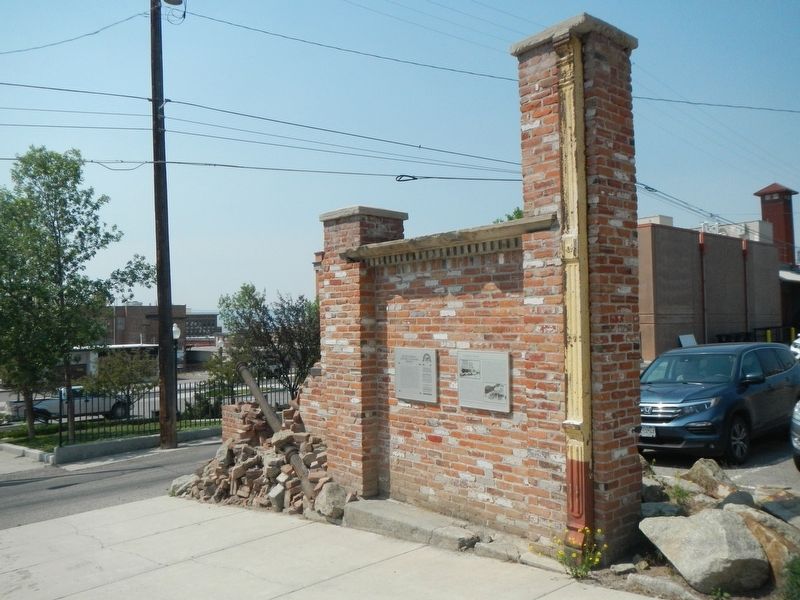
Location. 46° 0.945′ N, 112° 32.17′ W. Marker is in Butte, Montana, in Silver Bow County. It is on North Main Street near West Copper Street, on the left when traveling north. Touch for map. Marker is at or near this postal address: 321 North Main Street, Butte MT 59701, United States of America. Touch for directions.
Regionally, this marker is in andspecifically outhwest Montana, in Gold West Country, in Mining Country. It is also in the American Mountain West and in the Lewis & Clark Corridor. Globally, it is in North America, the Rocky Mountains, the Western Hemisphere, the Western World, and the Anglosphere. Historically, it finds itself in what was once Rupert’s Land and also the Louisiana Purchase.
Other nearby markers. At least 8 other markers are within walking distance of this marker: Butte Miner's #1 Union Hall
Photographed by Barry Swackhamer, July 12, 2021
2. Butte National Historic Landmark District Marker
Credits. This page was last revised on October 29, 2021. It was originally submitted on October 29, 2021, by Barry Swackhamer of Brentwood, California. This page has been viewed 395 times since then and 21 times this year. Photos:1, 2. submitted on October 29, 2021, by Barry Swackhamer of Brentwood, California.