Near Petersburg in Dinwiddie County, Virginia — The American South (Mid-Atlantic)
Hatcher's Run Battlefields
Confederate Fortifications
"Newspapers try to make the best of our [failed] 'reconnaissance.' This affords a vast deal of amusement, considering there were greater exertions and preparations made for this expedition than any previous one."
—Col. Charles S. Wainwright, V Corps Chief of Artillery, USA
"We had never yet fought behind breastworks although we had constructed miles, but we felt that our line was impregnable."
—Lt. Charles R. Jones, 55th North Carolina Infantry, CSA
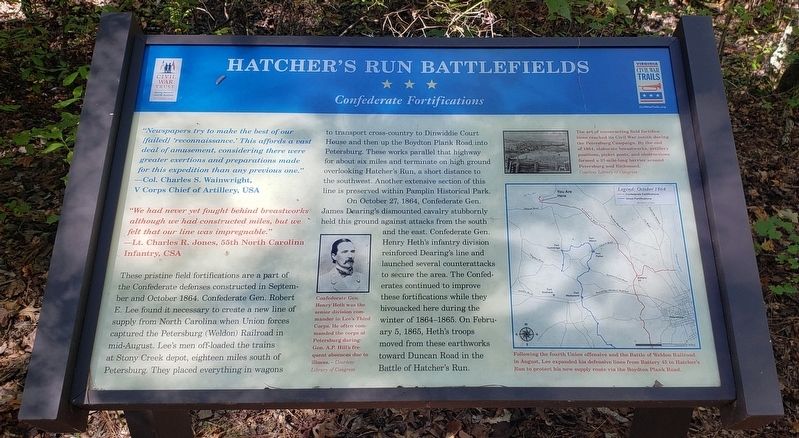
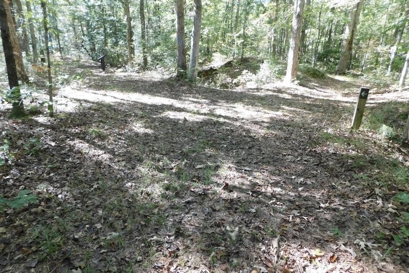
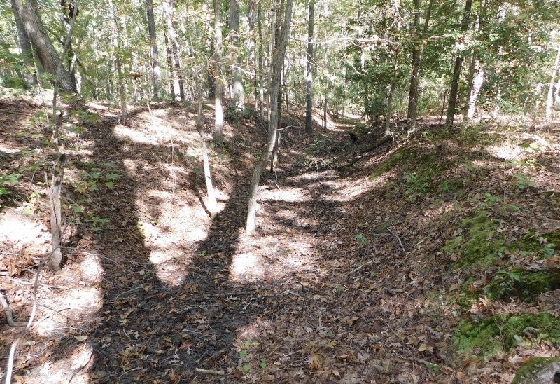
These pristine field fortifications are a part of the Confederate defenses constructed in September and October 1864. Confederate Gen. Robert E. Lee found it necessary to create a new line of supply from North Carolina when Union forces captured the Petersburg (Weldon) Railroad in mid-August. Lee's men off-loaded the trains at Stony Creek depot, eighteen miles south of Petersburg. They placed everything in wagons to transport cross-country to Dinwiddie Court House and then up the Boydton Plank Road into Petersburg. These works parallel that highway for about six miles and terminate on high ground overlooking Hatcher's Run, a short distance to the southwest. Another extensive section of this line is preserved within Pamplin Historical Park.
On October 27, 1864, Confederate Gen. James Dearing's dismounted cavalry stubbornly held this ground against attacks from the south and the east. Confederate Gen. Henry Heth's infantry division reinforced Dearing's line and launched several counterattacks to secure the area. The Confederates continued to improve these fortifications while they bivouacked here during the winter of 1864-1865. On February 5, 1865, Heth's troops moved from these earthworks toward Duncan Road in the Battle of Hatcher's Run.
(Photo Captions)
Confederate Gen. Henry Heth was the senior division commander in Lee's Third Corps. He often commanded the corps at Petersburg during Gen. A.P. Hill's frequent absences due to illness. - Courtesy Library of Congress
The art of constructing field fortifications reached its Civil War zenith during the Petersburg Campaign. By the end of 1864, elaborate breastworks, artillery positions, picket posts, and obstructions formed a 37-mile-long barrier around Petersburg and Richmond.
Courtesy Library of Congress
Following the fourth Union offensive and the Battle of Weldon Railroad in August, Lee expanded his defensive lines from Battery 45 to Hatcher's Run to protect his new supply route via the Boydton Plank Road.
Erected by Civil War Trust and Virginia Civil War Trails.
Topics and series. This historical marker is listed in this topic list: War, US Civil
. In addition, it is included in the Virginia Civil War Trails series list. A significant historical date for this entry is February 5, 1865.
Location. 37° 8.708′ N, 77° 29.643′ W. Marker is near Petersburg, Virginia, in Dinwiddie County. Marker can be reached from Duncan Road (Virginia Route 670) 0.6 miles south of Wheaton Road (Virginia Route 674), on the right when traveling south. Marker is located on the Civil War Trust Hatcher's Run Battlefield hiking trail. Touch for map. Marker is at or near this postal address: 9221 Duncan Road, Petersburg VA 23803, United States of America. Touch for directions.
Other nearby markers. At least 8 other markers are within 2 miles of this marker, measured as the crow flies. A different marker also named Hatcher's Run Battlefields (approx. 0.2 miles away); a different marker also named Hatcher's Run Battlefields (approx. 0.3 miles away); a different marker also named Hatcher's Run Battlefields (approx. 0.4 miles away); Burgess Mill (approx. 1.4 miles away); Hatcher's Run (approx. 1.4 miles away); White Oak Road (approx. 1.4 miles away); Cattle (Beefsteak) Raid (approx. 1.4 miles away); Battle of Hatcher’s Run (approx. 1.4 miles away). Touch for a list and map of all markers in Petersburg.
Also see . . .
1. Hatcher's Run. American Battlefield Trust (Submitted on October 30, 2021.)
2. Pamplin Historical Park. (Submitted on October 30, 2021.)
Credits. This page was last revised on February 2, 2023. It was originally submitted on October 29, 2021, by Bradley Owen of Morgantown, West Virginia. This page has been viewed 222 times since then and 42 times this year. Last updated on October 30, 2021, by Bradley Owen of Morgantown, West Virginia. Photos: 1, 2, 3. submitted on October 29, 2021, by Bradley Owen of Morgantown, West Virginia. • J. Makali Bruton was the editor who published this page.


