Near Deadwood in Lawrence County, South Dakota — The American Midwest (Upper Plains)
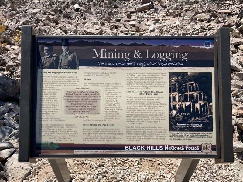
Mining & Logging
Homestake: Timber supply closely related to gold production
Mining and Logging Go Hand in Hand
Homestake Mining Company contributed significantly to the need for long-term forest management practices that would ensure the perpetual availability of Black Hills timber. Fred and Moses Manuel in 1876 discovered what became the Homestake Gold Mine. George Hearst soon was a director. The mine was once the largest gold mine in North America. The mine used square-set timber stopes bracing underground drifts (tunnels) and rail lines (needing wooden ties and bridges) that served the mine. Homestake was among the largest timber consumers.
Miners and builders enjoyed unregulated access to timber in the Black Hills forest for decades. This was, in part, due to the government support of mining. Homestake was cutting about 2 million board feet a year by 1883. Builders of miners cut 1.5 billion board feet of timber from 1874 to 1898. That is enough timber to build about 92,000 standard US homes in 2013.
Lawsuit
The federal government sued Homestake in 1894. Homestake was illegally staking mining claims solely to support the company's constant need for timber. Homestake had cut 6,828,160 trees valued at $2-$3 million in lumber by 1894. The US Government sought $688,804 in damages with the lawsuit. Deadwood Judge John Carland found Homestake guilty and fined the company $75,000.
“There is no other forest in the United States in which practical forestry is more urgently needed, or in which results of such importance may be more easily achieved. Upon its preservation depends the timber to supply a great and rapidly growing mining industry.“
-Annual Report US Division of Forestry 1886
Forest Reserve and Organic Acts
Homestake suffered another setback when President Grover Cleveland establish the Black Hills forest reserve, prohibiting logging on public lands and slowing mining operations. Conservationist Gifford Pinchot saw the value in scientific logging to perpetuate forest and helped pass the organic act of 1897. This Act allowed regulated timber sales on public lands. Pinchot immediately recognized the opportunity to apply the Organic Act to save the nearly decimated forest and revive the mining industry. He soon met with Homestake officials to convince him to purchase timber in the Hills.
Case No. 1 - The Nation’s First Timber Sale on Public Land
Pinchot was successful. Homestake officials recognize the need for effective forest management to sustain it’s critical timber source. Three months later Homestake filed its request to purchase 15 million board feet of dead and live timber for $14,967.32. Homestake had to wait another year and a half, and endure government policy
changes, before its application was approved and it’s timber supply replenished. This “Case No. 1” application was the nation’s first government regulated timber sale. Logging began in December 1899.
Case No. 1 is an example of quality forest management and an economic cornerstone for timber businesses. The forest service allowed contact logging in the Case No. 1 Area 16 more times from 1930 to 2018. This legacy of sustainable perpetual timber harvest proved Pinchot’s vision.
Caption: This photo by W. B. Perkins shows the square-set mining in a stope on the Pierce Ledge, 200-foot level of the Homestake gold mine. The small rail car was used for transporting mine timbers and other supplies into the mine.
Erected by US Forest Service, Department of Agriculture; City of Deadwood; Deadwood Historic Preservation Commission.
Topics. This historical marker is listed in these topic lists: Environment • Horticulture & Forestry • Industry & Commerce. A significant historical year for this entry is 1876.
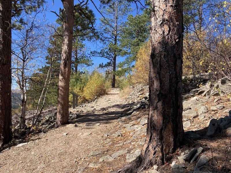
Location. 44° 23.807′ N, 103° 45.541′ W. Marker is near Deadwood, South Dakota, in Lawrence County. Marker can be reached from Mount Roosevelt Road east of Stage Run Road. The marker is located on the Mount Roosevelt Trail. Touch for map. Marker is in this post office area: Deadwood SD 57732, United States of America. Touch for directions.
Other nearby markers. At least 8 other markers are within 2 miles of this marker, measured as the crow flies. Mount Roosevelt (about 400 feet away, measured in a direct line); Theodore Roosevelt “The American” (about 500 feet away); Buttes (about 600 feet away); Center of the Country (about 700 feet away); Where It All Begins (approx. 0.2 miles away); The Cowboy & The Conservationist (approx. 0.2 miles away); Second Deadwood Gold Discovery (approx. 1.9 miles away); St. Johns Episcopal Church, Est. 1880 (approx. 1.9 miles away). Touch for a list and map of all markers in Deadwood.
Credits. This page was last revised on October 30, 2021. It was originally submitted on October 30, 2021, by Connor Olson of Kewaskum, Wisconsin. This page has been viewed 141 times since then and 19 times this year. Photos: 1, 2. submitted on October 30, 2021, by Connor Olson of Kewaskum, Wisconsin. • J. Makali Bruton was the editor who published this page.

