Santa Fe in Santa Fe County, New Mexico — The American Mountains (Southwest)
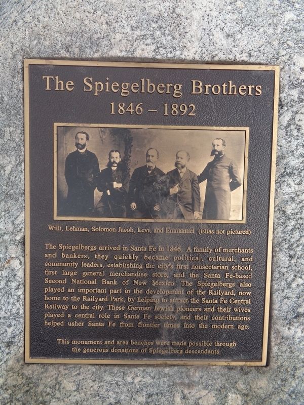
The Spiegelberg Brothers
1846-1892
Photographed by Jason Voigt, October 12, 2021
1. The Spiegelberg Brothers Marker
Erected by descendants of the Spiegelbergs.
Topics. This historical marker is listed in these topic lists: Industry & Commerce • Railroads & Streetcars • Settlements & Settlers. A significant historical year for this entry is 1846.
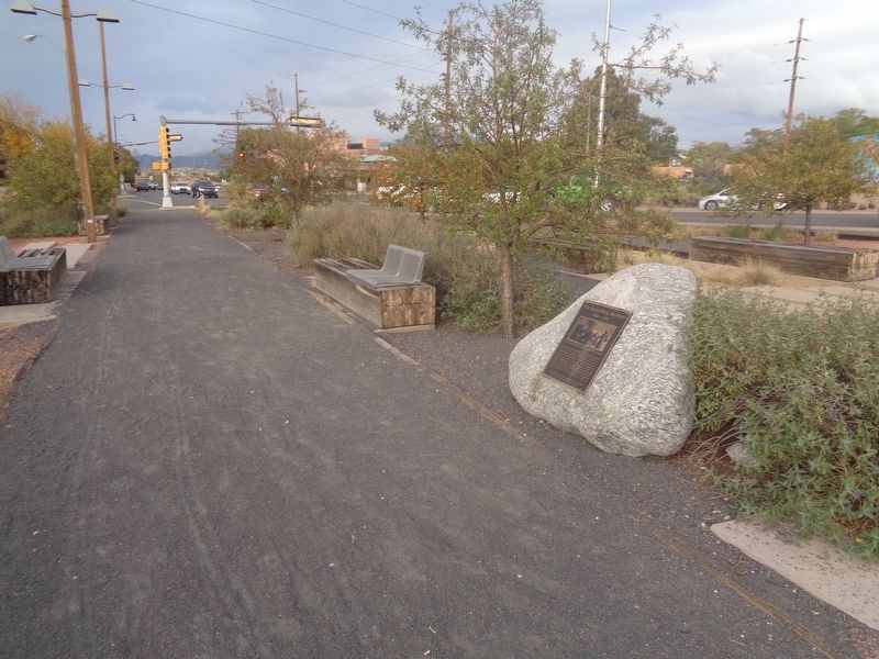
Location. 35° 40.882′ N, 105° 56.942′ W. Marker is in Santa Fe, New Mexico, in Santa Fe County. It can be reached from Paseo De Peralta west of South Guadalupe Street. Marker is located on a trail at Santa Fe Railyard Park. Touch for map. Marker
this page online

Regionally, this marker is in Northern New Mexico. It is also in the American Southwest, in the Mountain West, and on the Santa Fe Trail Corridor. Globally, it is in North America, the Rocky Mountains, the Western Hemisphere, the Western World, and the Anglosphere. Historically, it finds itself in what was once New Spain, the territory of the Ancestral Puebloans, and the Republic of Texas.
Other nearby markers. At least 8 other markers are within walking distance of this marker: Railyard History (a few steps from this marker); Neighborhood History (a few steps from this marker); Acequia Madre (approx. 0.2 miles away); Agricultural History (approx. 0.2 miles away); Don Juan Bautista de Anza (approx. 0.4 miles away); To the Memory of the Men of the 200th (approx. half a mile away); Inez Bushner Gill (1918–1982) and Maralyn Budke (1936–2010) (approx. half a mile away); Doña Teresa de Aguilera y Roche (approx. half a mile away). Touch for a list and map of all markers in Santa Fe.
Photographed by Jason Voigt, October 12, 2021
2. The Spiegelberg Brothers Marker
Marker is on a trail at Santa Fe Railyard Park
Credits. This page was last revised on October 31, 2021. It was originally submitted on October 30, 2021, by Jason Voigt of Glen Carbon, Illinois. This page has been viewed 453 times since then and 65 times this year. Photos: 1, 2. submitted on October 31, 2021, by Jason Voigt of Glen Carbon, Illinois.
