Capitol Hill in Southeast Washington in Washington, District of Columbia — The American Northeast (Mid-Atlantic)
Change and Renewal
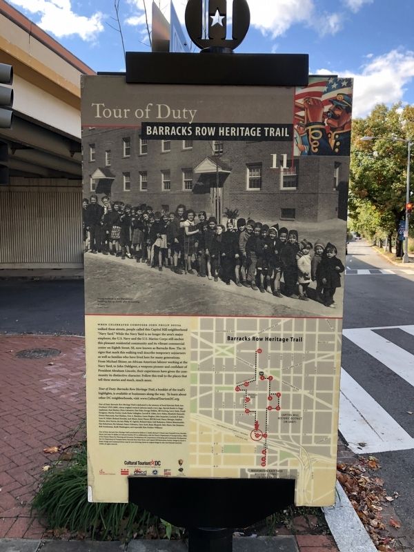
Tour of Duty
— Barracks Row Heritage Trail —
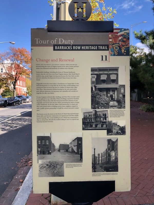
When the Southeast-Southwest Freeway above you was constructed along the route of Virginia Avenue in the 1960s, houses and businesses were destroyed and hundreds of residents were relocated.
Fashionable dwellings (included the home of Thomas Smallwood, mayor, 1819-1822 and 1824) once lined Virginia Avenue. After World War II ended in 1945, people began moving away because the Navy Yard cut jobs and new suburban developments beckoned. Many houses were abandoned.
Diagonally across the street today is Townhomes on Capitol Hill. It is the third development to occupy that site. By the 1890s, small buildings were constructed there to house the poor in a hidden H-shaped alley called Navy Place. Discrimination limited housing for the poor, particularly poor African Americans, forcing many into unhealthy and crowded settings like the alley seen below.
In 1934 Congress outlawed alley dwellings, and Navy Place was later razed. It was replaced in 1941 with Ellen Wilson Dwellings, named for President Woodrow Wilson's first wife who had promoted slum clearance. It was originally reserved for low-income whites, preventing the return of many earlier inhabitants. By the late 1960s, it had deteriorated. It closed, and after years passed with no building activity there, neighbors stepped in with a public-private partnership to build the current innovative cooperative.
The houses across the street on this block of I Street that survived population shifts and freeway construction are typical post-Civil War middle-income housing. The corner building at 700 I Street was constructed in 1893 as a drug store. Beneath the modern siding of 706 I is a typical 1902 brick bay-fronted Victorian.
Erected 2004 by Cultural Tourism DC. (Marker Number 11.)
Topics and series. This historical marker is listed in these topic lists: African Americans • Architecture • Civil Rights • Notable Buildings. In addition, it is included in the Barracks Row Heritage Trail series list. A significant historical year for this entry is 1945.
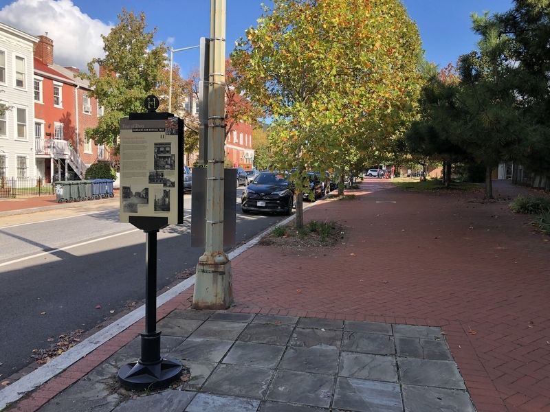
Location. 38° 52.76′ N, 76° 59.756′ W. Marker is in Southeast Washington in Washington, District of Columbia. It is in Capitol Hill. Marker is at the intersection of I Street Southeast and 7th Street Southeast, on the right when traveling west on I Street Southeast. Touch for map. Marker is at or near this postal address: 700 I St SE, Washington DC 20003, United States of America. Touch for directions.
Other nearby markers. At least 8 other markers are within walking distance of this marker. Strike Up the Band (within shouting distance of this marker); Marine Barracks (about 300 feet away, measured in a direct line); Marine Barracks Washington, D.C. (about 500 feet away); "The President's Own"
Credits. This page was last revised on January 30, 2023. It was originally submitted on October 31, 2021, by Devry Becker Jones of Washington, District of Columbia. This page has been viewed 223 times since then and 18 times this year. Photos: 1, 2, 3. submitted on October 31, 2021, by Devry Becker Jones of Washington, District of Columbia.


