Near Hammon in Roger Mills County, Oklahoma — The American South (West South Central)
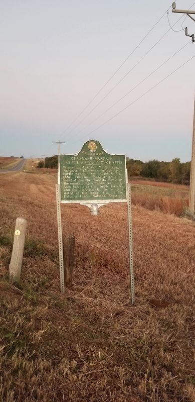
Cheyenne-Arapaho Cattle Ranch (Hodge Site)

Photographed by James Hulse, October 31, 2021
1. Cheyenne-Arapaho Cattle Ranch (Hodge Site) Marker
Erected 1981 by Oklahoma Historical Society.
Topics. This historical marker is listed in these topic lists: Animals • Industry & Commerce. A significant historical year for this entry is 1882.
Location. 35° 38.329′ N, 99° 19.312′ W. Marker is near Hammon, Oklahoma, in Roger Mills County. It is on State Highway 33 0.1 miles east of N2060 Street, on the left when traveling east. The marker is located along the highway with a pullout. Touch for map. Marker is in this post office area: Hammon OK 73650, United States of America. Touch for directions.

Regionally, this marker is in Southwest Oklahoma. It is also in the American South, specifically on the prairies, and on the Southern Plains. Globally, it is in North America, the Western Hemisphere, the Western World, and the Anglosphere.
this page online
Also see . . . Cheyenne-Arapaho Cattle Ranch.
The Cheyenne-Arapaho Cattle Ranch (1882–85), encompassing three million acres from Darlington west to Texas, was the largest cattle ranch ever created within the state boundaries of Oklahoma. The Cheyenne-Arapaho Agency, established coincidentally with the practice of Texas cattlemen driving herds of bovine to railheads in Kansas, created conflicting interests. Indians sought payment in beef for the right of transit by cowboys crossing their domain. Cattlemen considered this extortion. Violent gestures, verbal threats, and rustling accusations drew the attention of John D. Miles, agent for the Cheyenne and Arapaho. Source: Oklahoma Historical Society(Submitted on November 1, 2021, by James Hulse of Medina, Texas.)
Photographed by James Hulse, October 31, 2021
2. Cheyenne-Arapaho Cattle Ranch (Hodge Site) Marker
Photographed by James Hulse, October 31, 2021
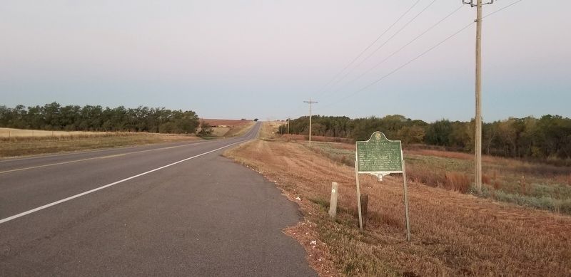
3. The view of the Cheyenne-Arapaho Cattle Ranch (Hodge Site) Marker from the highway
Credits. This page was last revised on November 7, 2021. It was originally submitted on November 1, 2021, by James Hulse of Medina, Texas. This page has been viewed 572 times since then and 49 times this year. Photos: 1, 2, 3. submitted on November 2, 2021, by James Hulse of Medina, Texas.
