Perryville in Boyle County, Kentucky — The American South (East South Central)
Assault From The Bottom House
Perryville • The Battle For Kentucky
— October 8, 1862 —
Inscription.
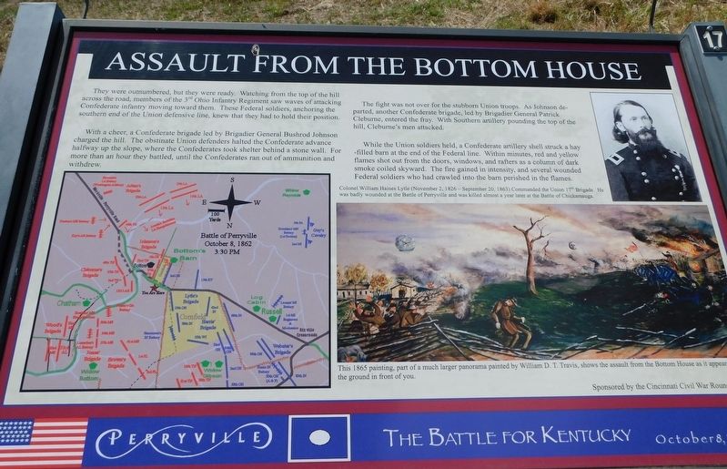
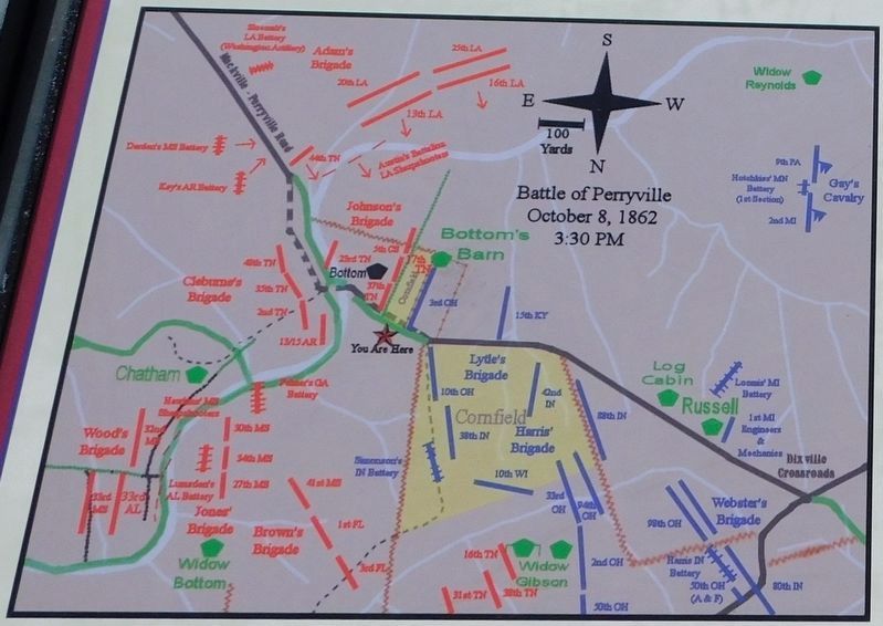
They were outnumbered, but they were ready. Watching from the top of the hill across the road, members of the 3rd Ohio Infantry Regiment saw waves of attacking Confederate infantry moving toward them. These Federal soldiers, anchoring the southern end of the Union defensive line, knew that they had to hold their position.
With a cheer, a Confederate brigade led by Brigadier General Bushrod Johnson charged the hill. The obstinate Union defenders halted the Confederate advance halfway up the slope, where the Confederates took shelter behind a stone wall. For more than an hour they battled, until the Confederates ran out of ammunition and withdrew.
The fight was not over for the stubborn Union troops. As Johnson departed, another Confederate brigade, led by Brigadier General Patrick Cleburne, entered the fray. With Southern artillery pounding the top of the hill, Cleburne's men attacked.
While the Union soldiers held, a Confederate artillery shell struck a hay-filled barn at the end of the Federal line. Within minutes, red and yellow flames shot out from the doors, windows, and rafters as a column of dark smoke coiled skyward. The fire gained in intensity, and several wounded Federal soldiers who had crawled into the barn perished in the flames.
(i>(captions)
Colonel William Haines Lytle (November 2, 1826 - September 20, 1863) Commanded the Union 17th Brigade. He was badly wounded at tte Battle of Perryville and was killed almost a year leter at the Battle of Chickamauga.
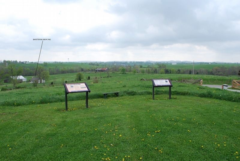
This 1865 painting, part of a much larger panorama painted by William D.T. Travis, shows the assault from the Bottom House as it appeared from the ground in front of you.
Erected by Cincinnati Civil War Roundtable. (Marker Number 17.)
Topics. This historical marker is listed in this topic list: War, US Civil. A significant historical date for this entry is October 8, 1862.
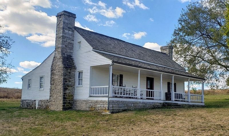
Location. 37° 39.974′ N, 84° 58.285′ W. Marker is in Perryville, Kentucky, in Boyle County. Marker can be reached from Hays Mays Road east of Whites Road, on the right when traveling west. Located in Perryville Battlefield State Historic Site. From the parking area on Hays Mays Road near the Bottom House and Doctors Creek, the marker is located at Interpretive Marker 17 on the Perryville Battlefield Trail System (Jones Trail). Touch for map. Marker is in this post office area: Perryville KY 40468, United States of America. Touch for directions.
Other nearby markers. At least 8 other markers are within walking distance of this marker. Assault from the Bottom House (here, next to this marker); The 15th Kentucky Infantry (US) (a few steps from this marker); Michigan at Perryville (within shouting distance of this marker); Artillery Duel at Loomis Heights (about 400 feet away, measured in a direct line); Baptism of Fire (about 400 feet away); The H. P. Bottom House (about 400 feet away); Bottom House (about 600 feet away); Simonson’s Battery (about 700 feet away). Touch for a list and map of all markers in Perryville.
Related marker. Click here for another marker that is related to this marker. Old Marker At This Location also titled "Assault From The Bottom House".
Credits. This page was last revised on November 2, 2021. It was originally submitted on November 2, 2021, by Bradley Owen of Morgantown, West Virginia. This page has been viewed 243 times since then and 57 times this year. Photos: 1. submitted on February 28, 2021, by Bradley Owen of Morgantown, West Virginia. 2. submitted on September 14, 2015, by Brandon Fletcher of Chattanooga, Tennessee. 3, 4. submitted on February 28, 2021, by Bradley Owen of Morgantown, West Virginia. • Bernard Fisher was the editor who published this page.


