Near Sisseton in Marshall County, South Dakota — The American Midwest (Upper Plains)
Roberts County / Marshall County
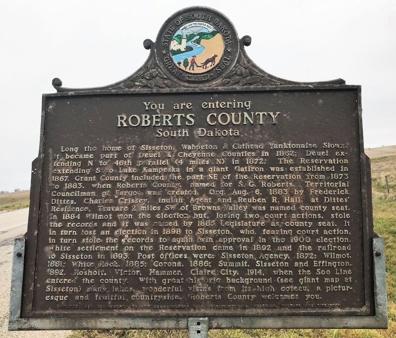
Roberts County
South Dakota
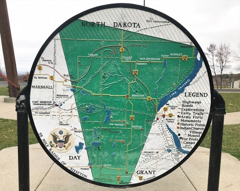
Long the home of Sisseton, Wahpeton & Cuthead Yanktonaise Sioux, it became part of Deuel & Cheyenne Counties in 1862; Deuel extending N to 46th parallel (4 miles N) in 1872. The Reservation extending S to Lake Kampeska in a giant flatiron was established in 1867. Grant County included the part SE of the Reservation from 1873 to 1883, when Roberts County, named for S. G. Roberts, Territorial Councilman of Fargo, was created. Org. Aug. 6, 1883 by Frederick Dittes, Charles Crissey, Indian Agent and Reuben R. Hall, at Dittes’ Residence, Travare 2 miles SW of Browns Valley was named county seat. In 1884 Wilmot won the election but, losing two court actions, stole the records and it was named by 1885 Legislature as county seat. It in turn lost an election in 1898 to Sisseton, who, fearing court action, in turn stole the records to again win approval in the 1900 election. White settlement on the Reservation came in 1892 and the railroad to Sisseton in 1893. Post offices were: Sisseton Agency, 1872; Wilmot, 1881; White Rock, 1885; Corona, 1886; Summit, Sisseton and Effington, 1892. Rosholt, Victor, Hammer, Claire City, 1914, when the Soo Line entered the county. With great historic background (see giant map at Sisseton) many lakes, wonderful vistas from its high coteau, a picturesque and fruitful countryside, Roberts County welcomes you.
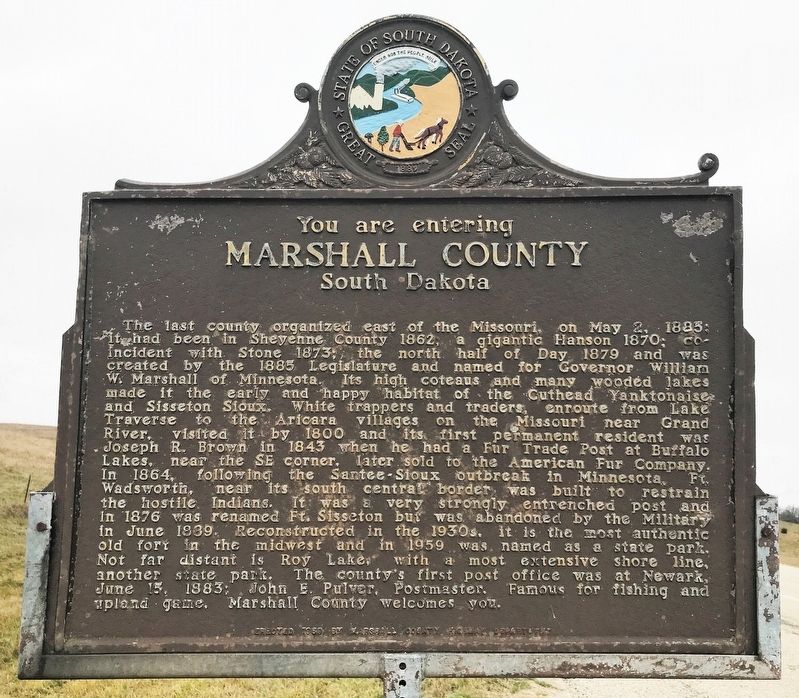
Marshall County
South Dakota
The last county organized east of the Missouri, on May 2, 1885; it had been in Sheyenne County 1862; a gigantic Hanson 1870; co-incident with Stone 1873; the north half of Day 1879 and was created by the 1885 Legislature and named for Governor William W. Marshall of Minnesota. Its high coteaus and many wooded lakes made it the early and happy habitat of the Cuthead Yanktonaise and Sisseton Sioux. White trappers and traders, enroute from Lake Traverse to the Aricara villages on the Missouri near Grand River, visited it by 1800 and its first permanent resident was Joseph R. Brown in 1843 when he had a Fur Trade Post at Buffalo Lakes, near the SE corner, later sold to the American Fur Company. In 1864, following the Santee-Sioux outbreak in Minnesota, Ft. Wadsworth, near its south central border was built to restrain the hostile Indians. It was a very strongly entrenched post and in 1876 was renamed Ft. Sisseton but was abandoned by the Military in June 1889. Reconstructed in the 1930s, it is the most authentic old fort in the midwest and in 1959 was named as a state park. Not far distant is Roy Lake, with a most extensive shore line, another state park. The county’s first post office was at Newark, June 15, 1883; John E. Pulver, Postmaster. Famous for fishing and upland game, Marshall County welcomes you.
Erected 1959 by Roberts County Commissioners Hull, Christofferson, Helgeson, Dybdahl and Dickenson; and Marshall County Highway Department. (Marker Number 292.)
Topics and series. This historical marker is listed in these topic lists: Native Americans • Settlements & Settlers. In addition, it is included in the South Dakota State Historical Society Markers series list. A significant historical year for this entry is 1862.
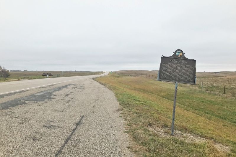
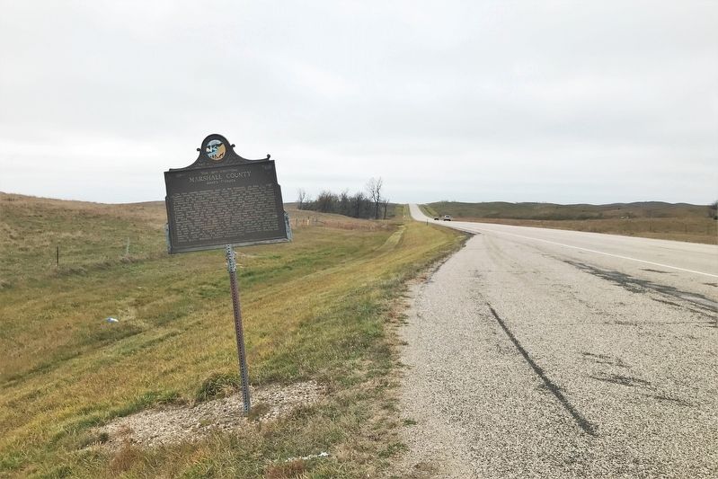
Location. 45° 39.572′ N, 97° 13.828′ W. Marker is near Sisseton, South Dakota, in Marshall County. Marker is on 119th Street (State Highway 10) 1.6 miles east of BIA Road (Road 3), on the right when traveling east. Touch for map. Marker is in this post office area: Sisseton SD 57262, United States of America. Touch for directions.
Other nearby markers. At least 8 other markers are within 9 miles of this marker, measured as the crow flies. Marshall County South Dakota (here, next to this marker); Two Companions (approx. 2˝ miles away); Two Sisters (approx. 2˝ miles away); Two Brothers (approx. 2˝ miles away); Little Paul Mazakutemani (approx. 3.6 miles away); Sieche Hollow (approx. 6 miles away); Stones from Log Flour Mill (approx. 8.8 miles away); Roberts County Veterans Memorial (approx. 8.8 miles away). Touch for a list and map of all markers in Sisseton.
Credits. This page was last revised on November 3, 2021. It was originally submitted on November 3, 2021. This page has been viewed 168 times since then and 28 times this year. Photos: 1, 2, 3, 4, 5. submitted on November 3, 2021. • J. Makali Bruton was the editor who published this page.
