Near De Graff in Logan County, Ohio — The American Midwest (Great Lakes)
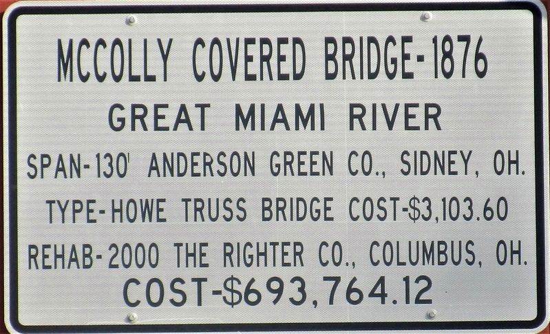
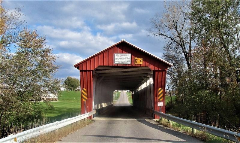
McColly Covered Bridge - 1876
Great Miami River
— Cost - $693,764.12 —
Span - 130 Anderson Green Co., Sidney, OH.
Type - Howe Truss Bridge cost - $3,103.60
Rehab - 2000 The Righter Co., Columbus, OH.
Erected 2000 by Logan County Commissioners.
Topics and series. This historical marker is listed in this topic list: Bridges & Viaducts. In addition, it is included in the Covered Bridges series list. A significant historical year for this entry is 1876.
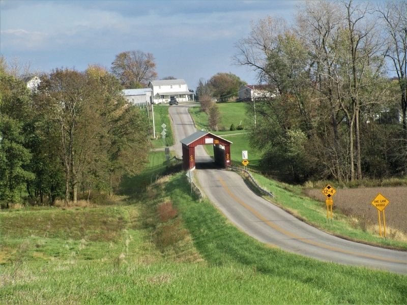
Location. 40° 24.066′ N, 83° 55.471′ W. Marker is near De Graff, Ohio, in Logan County. Marker is at the intersection of McColly Bridge Pike (County Road 13) and Meranda Road (County Road 59), in the median on McColly Bridge Pike. Touch for map. Marker is at or near this postal address: 9134 McColly Bridge Pike, De Graff OH 43318, United States of America. Touch for directions.
Other nearby markers. At least 8 other markers are within 6 miles of this marker, measured as the crow flies. 1882 Whipple Through Truss Bridge (approx. 3˝ miles away); Seneca Council House / Indian Reservation (approx. 3.7 miles away); Vance Blockhouse (approx. 3.8 miles away); Indian Lake Veterans Memorial (approx. 4.9 miles away); St. Mary of the Woods Veterans Memorial (approx. 4.9 miles away); Sandy Beach Amusement Park (approx. 5.2 miles away); Miami- Erie Canal / Lewistown Reservoir (approx. 5.2 miles away); Interurban Transportation (approx. 5.2 miles away).
Regarding McColly Covered Bridge - 1876. Also, reference-
https://www.hmdb.org/m.asp?m=34180
Credits. This page was last revised on November 6, 2021. It was originally submitted on November 4, 2021, by Rev. Ronald Irick of West Liberty, Ohio. This page has been viewed 176 times since then and 17 times this year. Photos: 1, 2, 3. submitted on November 4, 2021, by Rev. Ronald Irick of West Liberty, Ohio. • Devry Becker Jones was the editor who published this page.


