Near Winslow in Navajo County, Arizona — The American Mountains (Southwest)
Mormon Pioneers Along the Little Colorado River
Inscription.
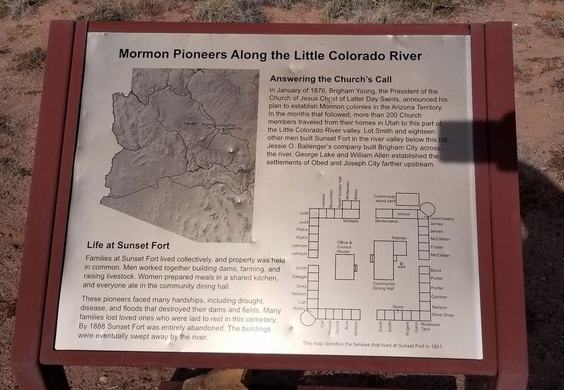
Answering the Church's Call
In January of 1876, Brigham Young, the President of the Church of Jesus Christ of Latter Day Saints, announced his plan to establish Mormon colonies in the Arizona Territory. In the months that followed, more than 200 Church members traveled from their homes in Utah to this part of the Little Colorado River valley. Lot Smith and eighteen other men built Sunset Fort in the river valley below this hill. Jessie O. Ballenger's company built Brigham City across the river. George Lake and William Allen established the settlements of Obed and Joseph City farther upstream.
Life at Sunset Fort
Families at Sunset Fort lived collectively, and property was held in common. Men worked together building dams, farming, and raising livestock. Women prepared meals in a shared kitchen, and everyone ate in the community dining hall.
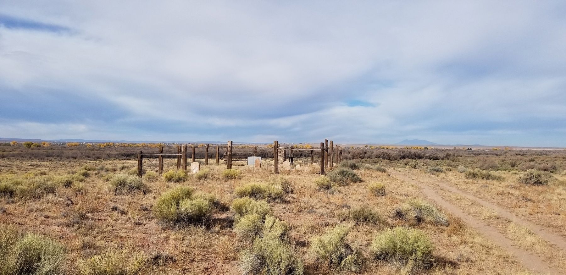
These pioneers faced many hardships, including drought, disease, and floods that destroyed their dams and fields. Many families lost loved ones who were laid to rest in this cemetery. By 1888 Sunset Fort was entirely abandoned. The buildings were eventually swept away by the river.
Map
This map identifies the families that lived at Sunset Fort in 1881.
Erected by Homolovi State Park .
Topics. This historical marker is listed in these topic lists: Cemeteries & Burial Sites • Churches & Religion • Settlements & Settlers. A significant historical month for this entry is January 1876.
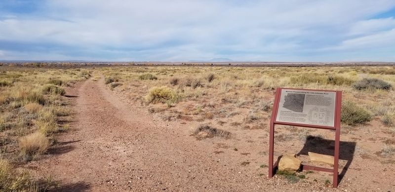
Location. 35° 2.765′ N, 110° 39.197′ W. Marker is near Winslow, Arizona, in Navajo County. Marker can be reached from Homolovi State Park Entrance Road, 2.1 miles west of Arizona Route 87. The marker is located along the west side of the parking lot for the Homolovi State Park Visitor Center and Gift Shop. Touch for map. Marker is in this post office area: Winslow AZ 86047, United States of America. Touch for directions.
Other nearby markers. At least 8 other markers are within 3 miles of this marker, measured as the crow flies. Let It Burn (about 300 feet away, measured in a direct line); General Lot Smith (approx. 0.4 miles away); Sunset (approx. 0.4 miles away); Brigham City (approx. 1.8 miles away); Remembrance Garden (approx. 2.6 miles away); The Winslow Bridge (approx. 2.6 miles away); Sunset Crossing (approx. 2.6 miles away); Typical Room (approx. 2.7 miles away). Touch for a list and map of all markers in Winslow.
Also see . . . A Little History Behind Arizona’s Early Mormon Missions.
A reconnaissance expedition was sent to the Little Colorado River Valley in 1873 to make a feasibility study for colonization. The scouts reported it unsuitable. A Norwegian missionary, Andrew Amundsen, pretty well summed up the bleak land. His spelling left a little to be desired but the meaning was clear: “From the first we struck the little Colorado … it is the seam thing all the way, no plase fit for a humg being to dwell upon.” Amundsen concluded his report rather succinctly calling it, ‘The moste desert lukking plase that I ever saw, Amen.” Source: Arizona Oddities(Submitted on November 6, 2021, by James Hulse of Medina, Texas.)
Credits. This page was last revised on November 6, 2021. It was originally submitted on November 6, 2021, by James Hulse of Medina, Texas. This page has been viewed 425 times since then and 44 times this year. Photos: 1, 2, 3. submitted on November 6, 2021, by James Hulse of Medina, Texas.


