Near Culpeper in Culpeper County, Virginia — The American South (Mid-Atlantic)
Battle of Cedar Mountain
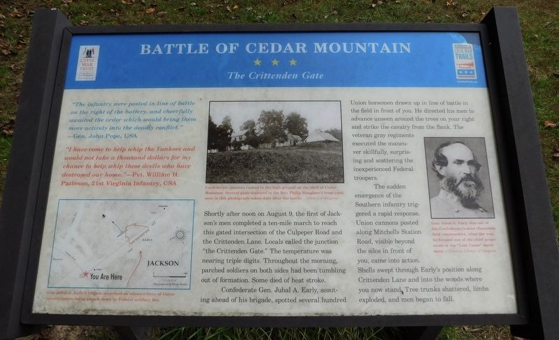
The Crittenden Gate
"The infantry were posted in line of battle on the right of the battery, and cheerfully awaited the order which would bring them more actively into the deadly conflict." —Gen. John Pope, USA
"I have come to help whip the Yankees and would not take a thousand dollars for my chance to help whip these devils who have destroyed our home." —Pvt. William H. Patteson, 21st Virginia Infantry, CSA
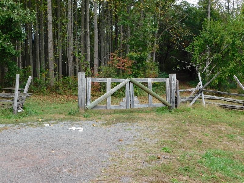
Shortly after noon on August 9, the first of Jackson's men completed a ten-mile march to reach this gated intersection of the Culpeper Road and the Crittenden Lane. Locals called the junction "the Crittenden Gate." The temperature was nearing triple digits. Throughout the morning, parched soldiers on both sides had been tumbling out of formation. Some died of heat stroke.
Confederate Gen. Jubal A. Early, scouting ahead of his brigade, spotted several hundred Union horsemen drawn up in line of battle in the field in front of you. He directed his men to advance unseen around the trees on your right and strike the cavalry from the flank. The veteran gray regiments executed the maneuver skillfully, surprising and scattering the inexperienced Federal troopers.
The sudden emergence of the Southern infantry triggered a rapid response. Union cannons posted along Mitchells Station Road, visible beyond the silos in front of you, came into action. Shells swept through Early's position along Crittenden Lane and into the woods where you now stand. Tree trunks shattered, limbs exploded, and men began to fall.
(Photo Captions)
Gen. Jubal A. Early's brigade surprised an advance force of Union cavalry before being pinned down by Federal artillery fire.
Confederate cannons rushed to the high ground on the shelf of Cedar Mountain. Several guns deployed in the Rev. Philip Slaughter's front yard, seen in this photograph taken days after the battle. - Library of Congress
Gen. Jubal A. Early was one of the Confederacy's most illustrious field commanders. After the war, he became one of the chief proponents of the "Lost Cause” movement. - Courtesy Library of Congress
Erected by Civil War Trust and Virginia Civil War Trails.
Topics and series. This historical marker is listed in this topic list: War, US Civil. In addition, it is included in the Virginia Civil War Trails series list. A significant historical date for this entry is August 9, 1862.
Location. This marker has been replaced by another marker nearby. It was located near 38° 24.303′ N, 78° 4.118′ W. Marker was near Culpeper, Virginia, in Culpeper County. Marker was on General Winder Road (Virginia Route 657) 0.3 miles north of James Madison Highway (U.S. 15), on the right when traveling west. Marker is located on the Cedar Mountain Battlefield Interpretive Trail (Stop 2). Touch for map. Marker was at or near this postal address: 9465 General Winder Road, Culpeper VA 22701, United States of America. Touch for directions.
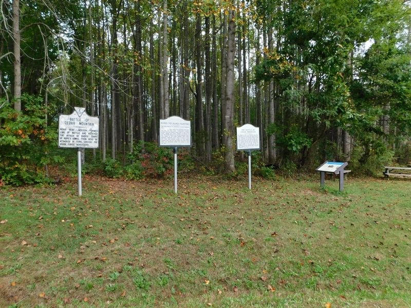
Other nearby markers. At least 8 other markers are within walking distance of this location. A different marker also named Battle of Cedar Mountain (here, next to this marker); a different marker also named The Battle of Cedar Mountain (here, next to this marker); Hand-to-Hand Fighting (a few steps from this marker); a different marker also named Battle of Cedar Mountain (within shouting distance of this marker); a different marker also named Battle of Cedar Mountain (within shouting distance of this marker); a different marker also named Battle of Cedar Mountain (about 500 feet away, measured in a direct line); a different marker also named Battle of Cedar Mountain (approx. 0.2 miles away); a different marker also named Battle of Cedar Mountain (approx. 0.2 miles away). Touch for a list and map of all markers in Culpeper.
Related marker. Click here for another marker that is related to this marker. New Marker At This Location also titled "Battle of Cedar Mountain".
Credits. This page was last revised on August 12, 2022. It was originally submitted on November 6, 2021, by Bradley Owen of Morgantown, West Virginia. This page has been viewed 217 times since then and 26 times this year. Photos: 1, 2, 3. submitted on November 6, 2021, by Bradley Owen of Morgantown, West Virginia. • Bernard Fisher was the editor who published this page.


