Jackson in Hinds County, Mississippi — The American South (East South Central)
The Oil Industry in Mississippi
Photographed by Cajun Scrambler, August 2, 2021
1. The Oil Industry in Mississippi Marker
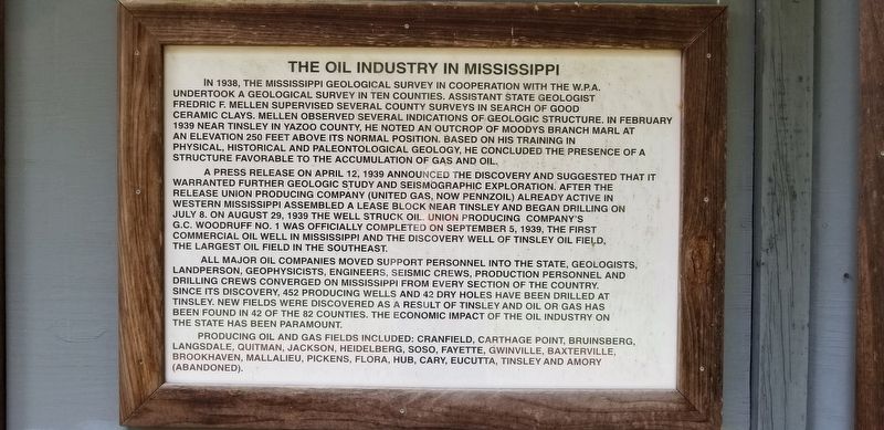
In 1938, the Mississippi Geological Survey in cooperation with the W.P.A. undertook a geological survey in ten counties. Assistant state geologist Fredric F. Mellen supervised several county surveys in search of good ceramic clays. Mellen observed several indications of geologic structure. In February 1939 near Tinsley in Yazoo County, he noted an outcrop of Moodys Branch Marl at an elevation 250 feet above its normal position. Based on his training in physical, historical and paleontological geology, he concluded the presence of a structure favorable to the accumulation of gas and oil.
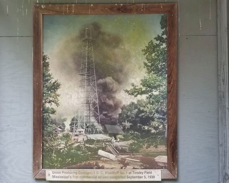
A press release on April 12, 1939 announced the discovery and suggested that it warranted further geologic study and seismographic exploration. After the release Union Producing Company (United Gas, now Pennzoil) already active in western Mississippi assembled a lease block near Tinsley and began drilling on July 8. On August 29, 1939 the well struck oil. Union Producing Company's G.C. Woodruff No. 1 was officially completed on September 5, 1939, the first commercial oil well in Mississippi and the discovery well of Tinsley
this page online
All major oil companies moved support personnel into the state, geologists, landperson, geophysicists, engineers, seismic crews, production personnel and drilling crews converged on Mississippi from every section of the country. Since its discovery, 452 producing wells and 42 dry holes have been drilled at Tinsley. New fields were discovered as a result of Tinsley and oil or gas has been found in 42 of the 82 counties. The economic impact of the oil industry on the state has been paramount.
Producing oil and gas fields included: Cranfield, Carthage Point, Bruinsberg, Langsdale, Quitman, Jackson, Heidelberg, Soso, Fayette, Gwinville, Baxterville, Brookhaven, Mallalieu, Pickens, Flora, Hub, Cary, Eucutta, Tinsley and Amory (abandoned).
Topics. This historical marker is listed in this topic list: Industry & Commerce. A significant historical date for this entry is April 12, 1939.
Location. 32° 20.204′ N, 90° 9.403′ W. Marker is in Jackson, Mississippi, in Hinds County. It can be reached from Lakeland Drive (State Highway 25) 0.2 miles east of Interstate 55, on the left when traveling east.
Photographed by Cajun Scrambler, August 2, 2021
2. The Oil Industry in Mississippi Marker

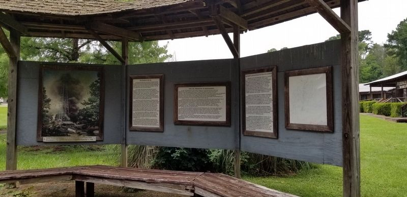
Regionally, this marker is in Mississippi’s Natchez Trace Corridor. It is also in the American South and specifically in the Deep South. Globally, it is in North America, a Gulf of Mexico state, the Western Hemisphere, the Western World, and the Anglosphere. Historically, it finds itself in what was once the territory of the Mississippian Culture, one of the Confederate States of America, and the Antebellum South.
Other nearby markers. At least 8 other markers are within walking distance of this marker: Fortenberry-Parkman Farm (about 400 feet away, measured in a direct line); Farm Bell (about 500 feet away); The Escape Proof Jail of West, MS (about 600 feet away); Smoke House (about 600 feet away); Appalachiosaurus (approx. 0.8 miles away); Eotrachodon (approx. 0.8 miles away); Chasmosaurus (approx. 0.8 miles away); Triceratops horridus (approx. 0.8 miles away). Touch for a list and map of all markers in Jackson.
More about this marker. Located within the Mississippi
Photographed by Cajun Scrambler, August 2, 2021
3. The Oil Industry in Mississippi Marker
Union Producing Company's G.C. Woodruff No. 1 at Tinsley Field.
Credits. This page was last revised on November 7, 2021. It was originally submitted on November 7, 2021, by Cajun Scrambler of Assumption, Louisiana. This page has been viewed 1,200 times since then and 89 times this year. Photos: 1, 2, 3. submitted on November 7, 2021, by Cajun Scrambler of Assumption, Louisiana.
