Near Seneca in Oconee County, South Carolina — The American South (South Atlantic)
Old Pickens Presbyterian Church
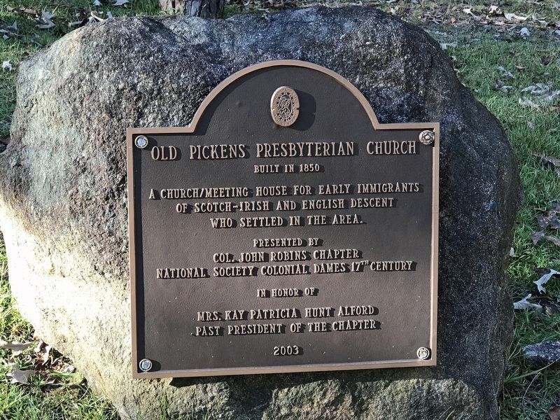
Photographed by Duane and Tracy Marsteller, November 7, 2021
1. Old Pickens Presbyterian Church Marker
A church/meeting house for early immigrants
of Scotch-Irish and English descent
who settled in the area.
Presented by
Col. John Robins Chapter
National Society Colonial Dames 17th Century
in honor of
Mrs. Kay Patricia Hunt Alford
Past president of the chapter
Erected 2003 by Col. John Robins Chapter, National Society Colonial Dames 17th Century.
Topics and series. This historical marker is listed in these topic lists: Religion & Religious Structures • Settlements & Settlers. In addition, it is included in the The Colonial Dames XVII Century, National Society series list. A significant historical year for this entry is 1850.
Location. 34° 47.489′ N, 82° 53.185′ W. Marker is near Seneca, South Carolina, in Oconee County. It can be reached from the intersection of Old Pickens Church Road and East Pickens Highway (State Highway 183) when traveling north. Heading north on East Pickens Highway (SC-183), Old Pickens Church Road is the last left before the Keowee River bridge. Heading south, it is the first right after the bridge. There is a sign, but it is easy to miss. Touch for map. Marker is
this page online

Regionally, this marker is in South Carolina’s and pstate, in the Foothills, in the Golden Corner. It is also in the American South, specifically in the Deep South, in Appalachia, and specifically in Southern Appalachia. Globally, it is in North America, the Western Hemisphere, the Western World, and the Anglosphere. Historically, it finds itself in what was once the original Cherokee Nation, the territory of the Mississippian Culture, one of the original Thirteen Colonies, one of the Confederate States of America, and the Antebellum South.
Other nearby markers. At least 8 other markers are within 5 miles of this marker, measured as the crow flies: Old Pickens Church (here, next to this marker); Andrew Pickens (here, next to this marker); a different marker also named Old Pickens Presbyterian Church (within shouting distance of this marker); Henry Craig (about 300 feet away, measured in a direct line); Furman L. Smith Memorial Highway (approx. 3.9 miles away); Six Mile Veterans Monument (approx. 3.9 miles
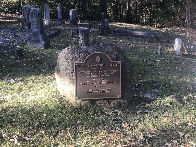
Photographed by Duane and Tracy Marsteller, November 7, 2021
2. Old Pickens Presbyterian Church Marker
Other markers no longer nearby. Old Pickens Church (was within shouting distance of this marker but has been confirmed missing); a different marker also named Andrew Pickens (was within shouting distance of this marker but has been confirmed missing).
Regarding Old Pickens Presbyterian Church. Like the town, an "Old Pickens Foundation" website that was devoted to the town and its history has also vanished.
Also see . . . Old Pickens Presbyterian Church. Wikipedia entry:
Links to National Register of Historic Places Registration Form (Submitted on August 28, 2025, by Larry Gertner of New York, New York.)
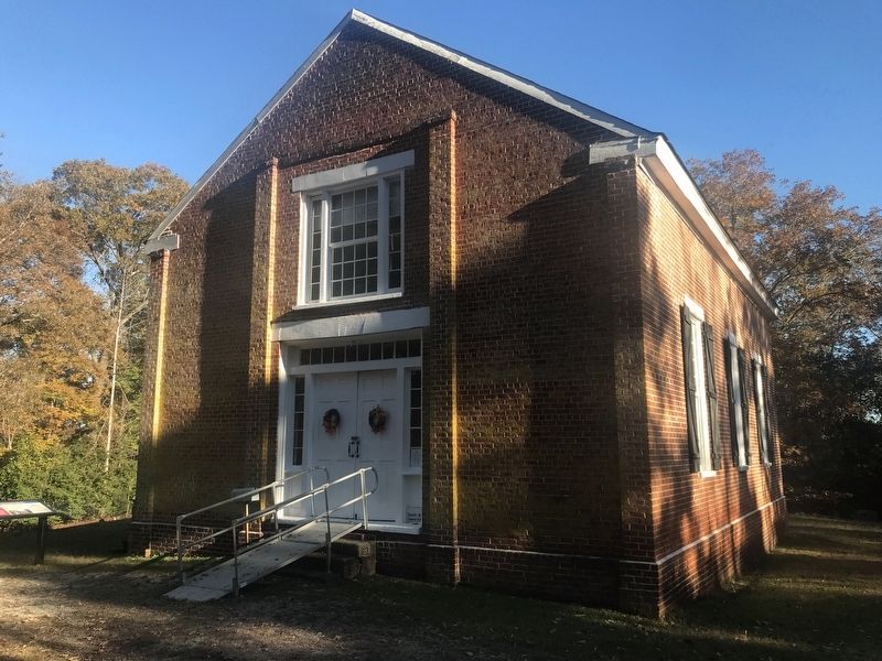
Photographed by Duane and Tracy Marsteller, November 7, 2021
3. Old Pickens Presbyterian Church
Credits. This page was last revised on August 28, 2025. It was originally submitted on November 7, 2021, by Duane and Tracy Marsteller of Murfreesboro, Tennessee. This page has been viewed 363 times since then and 27 times this year. Photos: 1. submitted on November 7, 2021, by Duane and Tracy Marsteller of Murfreesboro, Tennessee. 2, 3. submitted on November 10, 2021, by Duane and Tracy Marsteller of Murfreesboro, Tennessee.
