Pickens in Pickens County, South Carolina — The American South (South Atlantic)
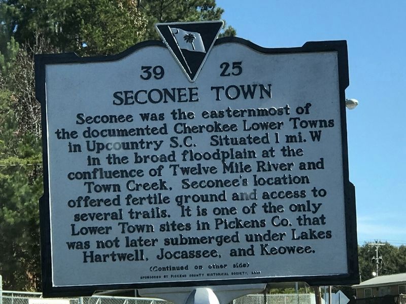
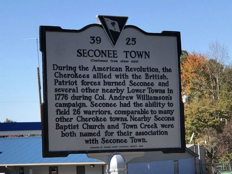
Seconee Town
During the American Revolution, the Cherokees allied with the British. Patriot forces burned Seconee and several other nearby Lower Towns in 1776 during Col. Andrew Williamson's campaign. Seconee had the ability to field 26 warriors, comparable to many other Cherokee towns. Nearby Secona Baptist Church and Town Creek were both named for their association with Seconee Town.
Erected by Pickens County Historical Society (sponsor). (Marker Number 39-25.)
Topics. This historical marker is listed in these topic lists: Native Americans • War, US Revolutionary.
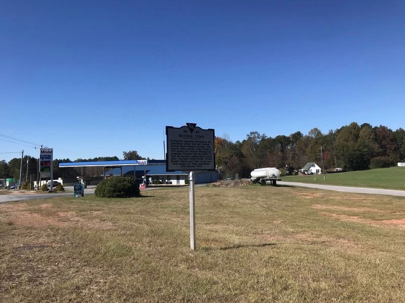
Location. 34° 52.709′ N, 82° 43.442′ W. Marker is in Pickens, South Carolina, in Pickens County. Marker is at the intersection of West Main Street (State Highway 183) and Durham Mill Road, on the right when traveling west on West Main Street. Touch for map. Marker is at or near this postal address: 950 W Main St, Pickens SC 29671, United States of America. Touch for directions.
Other nearby markers. At least 8 other markers are within one mile of this marker, measured as the crow flies. To the Mountains / Mariner's Compass (approx. ¾ mile away); Kites (approx. 0.9 miles away); Fire and Ice (approx. one mile away); Griffin-Christopher House (approx. one mile away); John C. Calhoun (approx. one mile away); Gen. Robert E. Lee (approx. one mile away); General Andrew Pickens Charted the Way (approx. one mile away); Pickens County Buffalo Soldiers (approx. one mile away). Touch for a list and map of all markers in Pickens.
Credits. This page was last revised on November 10, 2021. It was originally submitted on November 7, 2021, by Duane and Tracy Marsteller of Murfreesboro, Tennessee. This page has been viewed 281 times since then and 66 times this year. Photos: 1, 2. submitted on November 7, 2021, by Duane and Tracy Marsteller of Murfreesboro, Tennessee. 3. submitted on November 10, 2021, by Duane and Tracy Marsteller of Murfreesboro, Tennessee.


