Gillespie in Macoupin County, Illinois — The American Midwest (Great Lakes)
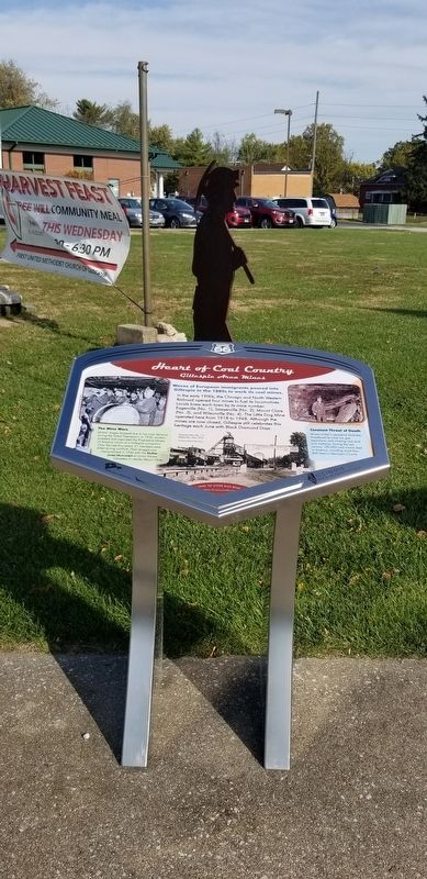
Heart of Coal Country
Gillespie Area Mines
— Illinois 66 —
In the early 1900s, the Chicago and North Western Railroad opened four mines to fuel its locomotives. Locals knew each town by its mine number: Eagerville (No. 1), Sawyerville (No. 2), Mount Clare (No. 3), and Wilsonville (No. 4). The Little Dog Mine operated here from 1918 to 1968. Although the mines are now closed, Gillespie still celebrates this heritage each June with Black Diamond Days.
The Mine Wars
Miners' wages dropped due to low coal demand during the Great Depression. In 1932, workers picketed and organized the Progressive Miners of America Union at a Gillespie convention. Over the next four years, 21 members were killed during conflicts. Their struggle was memorialized in 1936 with the Mother Jones Monument at Union Miners Cemetery in nearby Mount Olive.
Constant Threat of Death
Miners toiled in perpetual darkness, threatened by cave-ins, gas explosions, and inhaling coal dust and methane. During the last century, 100,000 coal miners died in America, including more than 400 here in Macoupin County.
Captions
Top Left: The Progressive Miners Union occupied the Wilsonville mine for nine days in a 1937 sit-down strike. Miners even organized a band that was broadcast on a St. Louis radio station. Courtesy of Gillespie Public Library
Middle Bottom: Superior Mine No. 1 in Eagarville, circa 1915. Courtesy of Gillespie Public Library
Right Top: Roof collapses, such as this 1908 slate fall, accounted for half of all miner fatalities. Courtesy of Library of Congress
Erected by Illinois Route 66, America's Byways and State of Illinois.
Topics. This historical marker is listed in these topic lists: Industry & Commerce • Labor Unions • Railroads & Streetcars. A significant historical year for this entry is 1918.
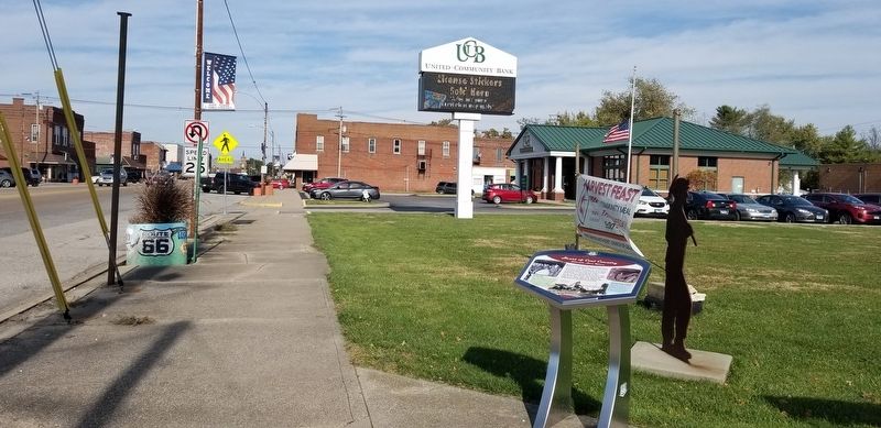
Location. 39° 7.528′ N, 89° 48.886′ W. Marker is in Gillespie, Illinois, in Macoupin County. Marker is at the intersection of South Macoupin Street and East Pine Street, on the left when traveling south on South Macoupin Street. The marker is located at the intersection. Touch for map. Marker is in this post office area: Gillespie IL 62033, United States of America. Touch for directions.
Other nearby markers. At least 8 other markers are within 8 miles of this marker, measured as the crow flies. Macoupin & Chestnut Streets (about 600 feet away, measured in a direct line); Founding of the Progressive Miners of America (about 700 feet away); Dedicated to the Soldiers and Sailors of Gillespie (approx. 0.2 miles away); Veterans Memorial (approx. 0.2 miles away); Union Miners Cemetery at Mt. Olive, Illinois (approx. 5.4 miles away); Soulsby Shell Station, Mt. Olive, Illinois (approx. 5.7 miles away); Ill. Traction System (approx. 8 miles away); a different marker also named Veterans Memorial (approx. 8 miles away). Touch for a list and map of all markers in Gillespie.
Credits. This page was last revised on November 8, 2021. It was originally submitted on November 8, 2021, by James Hulse of Medina, Texas. This page has been viewed 403 times since then and 49 times this year. Photos: 1, 2, 3. submitted on November 8, 2021, by James Hulse of Medina, Texas.


