Near Cheshire in Berkshire County, Massachusetts — The American Northeast (New England)
Ashuwillticook Rail Trail
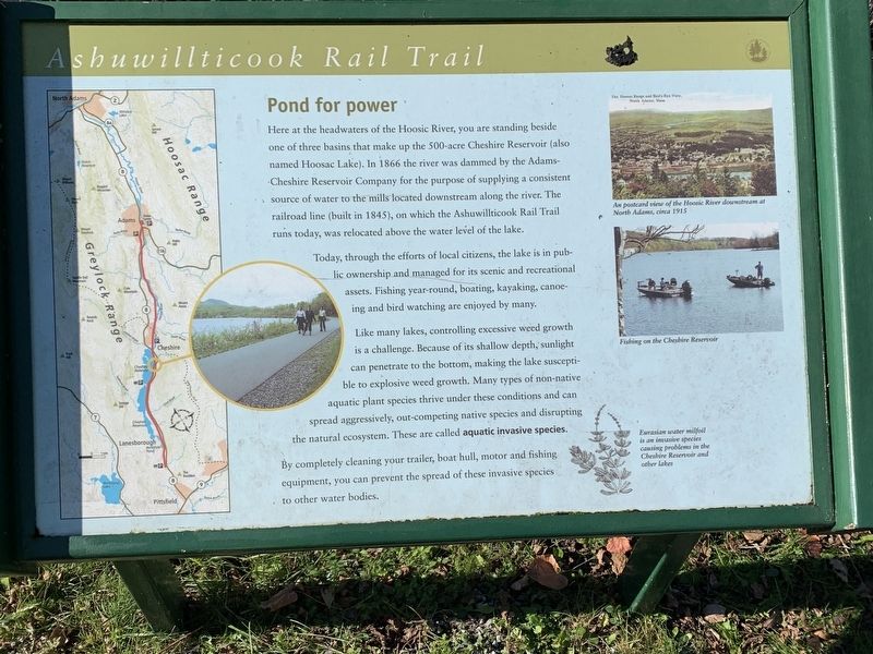
Pond for Power
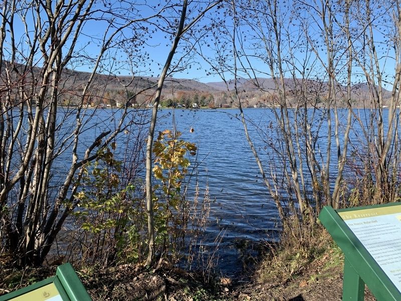
Today, through the efforts of local citizens, the lake is in public ownership and managed for its scenic and recreational assets. Fishing year-round, boating, kayaking, canoeing and bird watching are enjoyed by many.
Like many lakes, controlling excessive weed growth is a challenge. Because of its shallow depth, sunlight can penetrate to the bottom, making the lake susceptible to explosive weed growth. Many types of non-native aquatic plant species thrive under these conditions and can spread aggressively, out-competing native species and disrupting the natural ecosystem. These are called aquatic invasive species.
By completely cleaning your trailer, boat hull, motor, and fishing equipment, you can prevent the spread of these invasive species to other water bodies.
Photos and Images:
An postcard view of the Hoosic River downstream at North Adams, circa 1915
Fishing on the Cheshire Reservoir
Eurasian water milfoil is an invasive species causing problems in the Cheshire Reservoir and other lakes
Topics. This historical marker is listed in these topic lists: Industry & Commerce • Waterways & Vessels. A significant historical year for this entry is 1866.
Location. 42° 32.854′ N, 73° 10.108′ W. Marker is near Cheshire, Massachusetts, in Berkshire County. Marker can be reached from Hoosac Drive, 0.6 miles north of Mallard Drive. Marker is located on the Ashuwillticook Rail Trail. The trail can be accessed at intersections at Mallard Drive (0.6 miles to the south) or MA State Route 8 0.5 miles to the north of marker. Touch for map. Marker is in this post office area: Cheshire MA 01225, United States of America. Touch for directions.
Other nearby markers. At least 8 other markers are within 4 miles of this marker, measured as the crow flies. Cheshire’s Mammoth Cheese (approx. 1.2 miles away); Berkshire County Patriots (approx. 1.2 miles away); Welcome to Mount Greylock State Reservation (approx. 2.3 miles away); Daniel H. Petithory (approx. 2.4 miles away); The Rockwell Road To Greylock (approx. 2˝ miles away); Lanesborough Remembers (approx. 3.6 miles away); In Memory of Jonathan Smith (approx. 3.6 miles away); The First and Second Meeting Houses of Lanesborough (approx. 3.6 miles away). Touch for a list and map of all markers in Cheshire.
Credits. This page was last revised on November 15, 2021. It was originally submitted on November 9, 2021, by Steve Stoessel of Niskayuna, New York. This page has been viewed 185 times since then and 14 times this year. Photos: 1, 2, 3. submitted on November 9, 2021, by Steve Stoessel of Niskayuna, New York. • Bill Pfingsten was the editor who published this page.


