Concord in Middlesex County, Massachusetts — The American Northeast (New England)
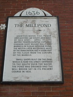
The Millpond
1636
and skating lay south and west
of this spot. April 19, 1775
British troops dumped captured
cannon shot, musket balls and
barrels of flour into the pond.
The militia later recovered most
of the ammunition and a good part
of the flour from the centers
of the barrels.
Small shops built on the dam;
which is now the street, extended
to the south over the water.
The pond was drained and the
mill brook set in its present
course in 1836.
Topics. This historical marker is listed in these topic lists: Colonial Era • War, US Revolutionary. A significant historical month for this entry is April 1775.
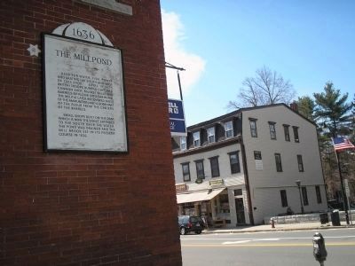
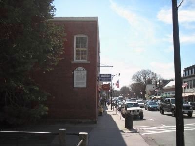
Location. 42° 27.605′ N, 71° 20.95′ W. Marker is in Concord, Massachusetts, in Middlesex County. Marker is on Main Street (Massachusetts Route 64) near Lexington Road, on the left when traveling west. Touch for map. Marker is in this post office area: Concord MA 01742, United States of America. Touch for directions.
Other nearby markers. At least 8 other markers are within walking distance of this marker. The Milldam (within shouting distance of this marker); The Wright Tavern (within shouting distance of this marker); Jethro’s Tree (within shouting distance of this marker); Concord Massachusetts World War II Honor Roll (within shouting distance of this marker); Henry David Thoreau (within shouting distance of this marker); Concord Massachusetts World War I Honor Roll (within shouting distance of this marker); Concord Massachusetts Spanish American War Memorial (within shouting distance of this marker); On this Hill (within shouting distance of this marker). Touch for a list and map of all markers in Concord.
Also see . . . Battle of Concord. (Submitted on May 2, 2009, by Bill Coughlin of Woodland Park, New Jersey.)
Credits. This page was last revised on June 16, 2016. It was originally submitted on May 2, 2009, by Bill Coughlin of Woodland Park, New Jersey. This page has been viewed 1,210 times since then and 59 times this year. Photos: 1, 2, 3. submitted on May 2, 2009, by Bill Coughlin of Woodland Park, New Jersey.


