
Near Albert Lea in Freeborn County, Minnesota — The American Midwest (Upper Plains)
Everyone's Country Estate
Photographed by Ruth VanSteenwyk, April 24, 2019
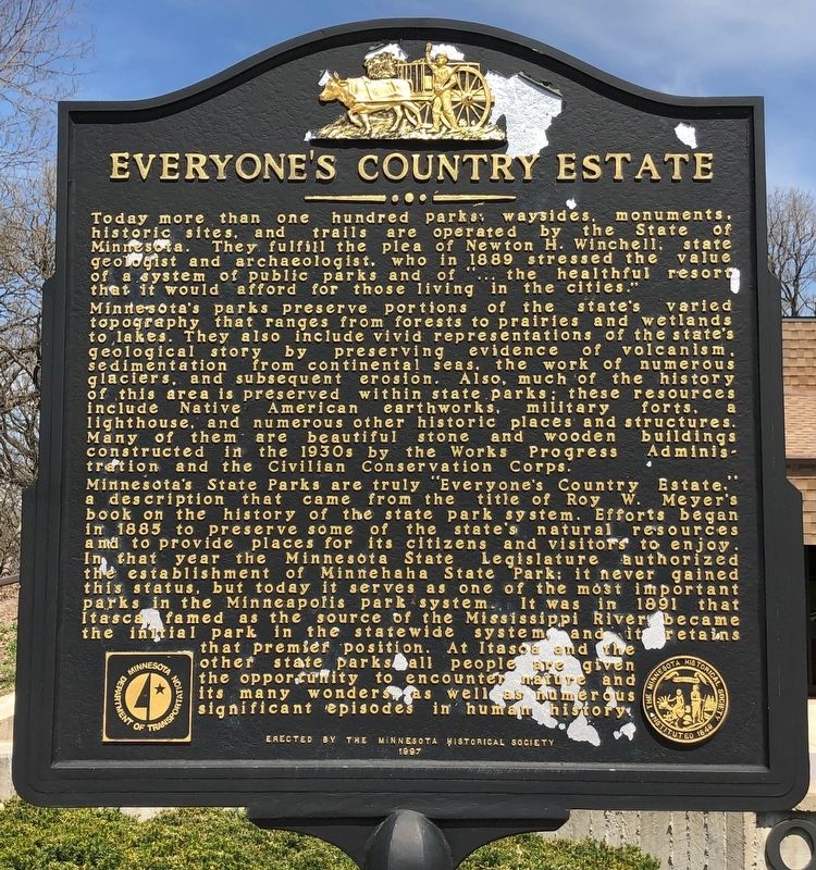
1. Everyone's Country Estate Marker
Today more than one hundred parks, waysides, monuments, historic sites, and trails are operated by the State of Minnesota. They fulfill the plea of Newton H. Winchell, state geologist and archaeologist, who in 1889 stressed the value of a system of public parks and of "… the healthful resort that it would afford for those living in the cities."
Minnesota's parks preserve portions of the state's varied topography that ranges from forests to prairies and wetlands to lakes. They also include vivid representations of the state's geological story from continental seas, the work of numerous glaciers, and subsequent erosion. Also, much of the history of this area is preserved within state parks; these resources include Native American earthworks, military forts, a lighthouse, and numerous other historic places and structures. Many of them are beautiful stone and wooden buildings constructed in the 1930s by the Works Progress Administration and the Civilian Conservation Corps.
Minnesota's State parks are truly "Everyone's Country Estate," a description that came from the title of Roy W. Meyer's book on the history of the
this page online
Erected 1997 by Minnesota Historical Society.
Topics and series. This historical marker is listed in this topic list: Parks & Recreational Areas. In addition, it is included in the Minnesota Historical Society series list. A significant historical year for this entry is 1889.
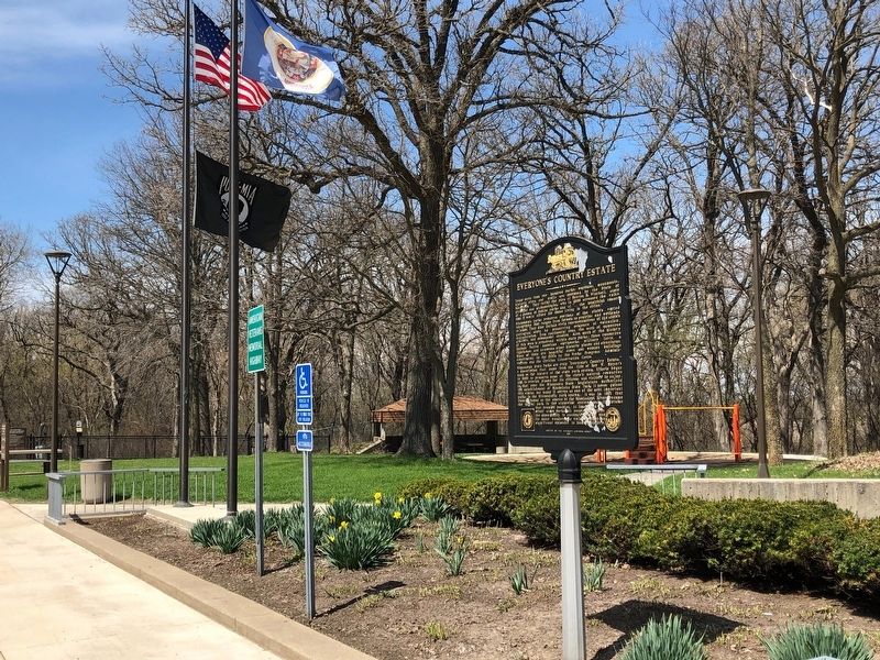
Location. 43° 39.663′ N, 93° 6.852′ W. Marker is near Albert Lea, Minnesota, in Freeborn County. It is on Interstate 90 W at milepost 171. Located at a Oakland Woods (westbound)

Photographed by Richard Hawkins, July 26, 2025
2. Everyone's Country Estate Marker

Regionally, this marker is in Southeast Minnesota. It is also in the American Midwest and in the Corn Belt. Globally, it is in North America, the Western Hemisphere, the Western World, and the Anglosphere. Historically, it finds itself in what was once Rupert’s Land, the territory of the Mississippian Culture, and the Louisiana Purchase.
Other nearby markers. At least 8 other markers are within 7 miles of this marker, measured as the crow flies: First Religious Service in Freeborn County (approx. 2.4 miles away); Hormel (approx. 6.9 miles away); William Baudler (approx. 6.9 miles away); Oakwood Cemetery W.R.C. Memorial (approx. 7 miles away); Belita M. Schindler (approx. 7 miles away); Rosalie Seltz (approx. 7 miles away); Dr. Ralph T. Holman (approx. 7 miles away); John O'Rourke (approx. 7 miles away).
Photographed by Ruth VanSteenwyk, April 24, 2019
3. Everyone's Country Estate Marker

Photographed by Richard Hawkins, July 26, 2025
4. Everyone's Country Estate Marker
Credits. This page was last revised on July 29, 2025. It was originally submitted on May 5, 2019, by Ruth VanSteenwyk of Aberdeen, South Dakota. This page has been viewed 516 times since then and 33 times this year. Last updated on November 10, 2021. Photos: 1. submitted on May 5, 2019, by Ruth VanSteenwyk of Aberdeen, South Dakota. 2. submitted on July 26, 2025, by Richard Hawkins of Phelan, California. 3. submitted on May 5, 2019, by Ruth VanSteenwyk of Aberdeen, South Dakota. 4. submitted on July 26, 2025, by Richard Hawkins of Phelan, California. • Andrew Ruppenstein was the editor who published this page.
