St. Marys in Auglaize County, Ohio — The American Midwest (Great Lakes)
Lock 13 Rehabilitation Project
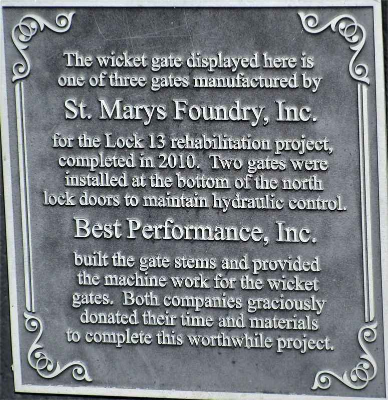
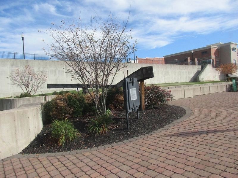
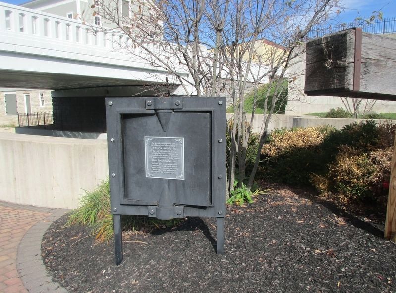
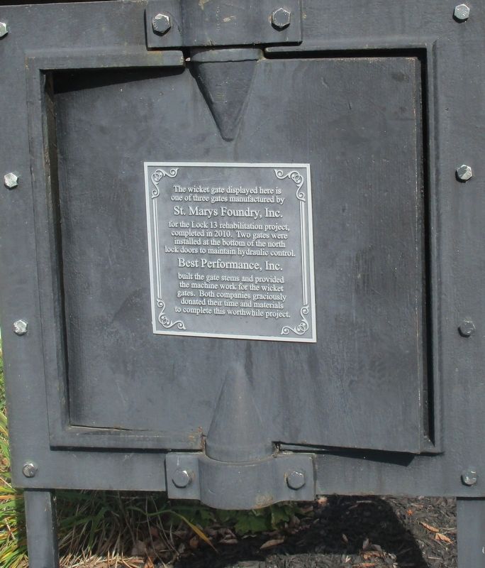
The wicket gate displayed here is one of three gates manufactured by
St Marys Foundry, Inc.
for the Lock 13 rehabilitation project, completed in 2010. Two gates were installed in the bottom of the north lock doors to maintain hydraulic control.
Best Performance, Inc.
built the gate stems and provided the machine work for the wicket gates. Both companies donated their time and materials to complete this worthwhile project.
Topics. This historical marker is listed in these topic lists: Industry & Commerce • Waterways & Vessels. A significant historical year for this entry is 2010.
Location. 40° 32.647′ N, 84° 23.29′ W. Marker is in St. Marys, Ohio, in Auglaize County. Marker is on Miami and Erie Towpath. Located on the old towpath at Lock #13. Touch for map. Marker is at or near this postal address: 100 E High St, Saint Marys OH 45885, United States of America. Touch for directions.
Other nearby markers. At least 8 other markers are within walking distance of this marker. Transportation (a few steps from this marker); Reservoir Mill, St. Marys (within shouting distance of this marker); St. Marys Reservoir Mill (within shouting distance of this marker); 136 East Spring Street (about 300 feet away, measured in a direct line); Memorial Park (about 300 feet away); The headwaters of the St. Marys River lie just southeast of the City of St. Marys. (about 300 feet away); Miami and Erie Canal (about 300 feet away); The "Short Level" of the Miami and Erie Canal (about 400 feet away). Touch for a list and map of all markers in St. Marys.
Credits. This page was last revised on November 22, 2021. It was originally submitted on November 10, 2021, by Rev. Ronald Irick of West Liberty, Ohio. This page has been viewed 134 times since then and 12 times this year. Photos: 1, 2, 3, 4. submitted on November 10, 2021, by Rev. Ronald Irick of West Liberty, Ohio. • Mark Hilton was the editor who published this page.


