
Paducah in McCracken County, Kentucky — The American South (East South Central)
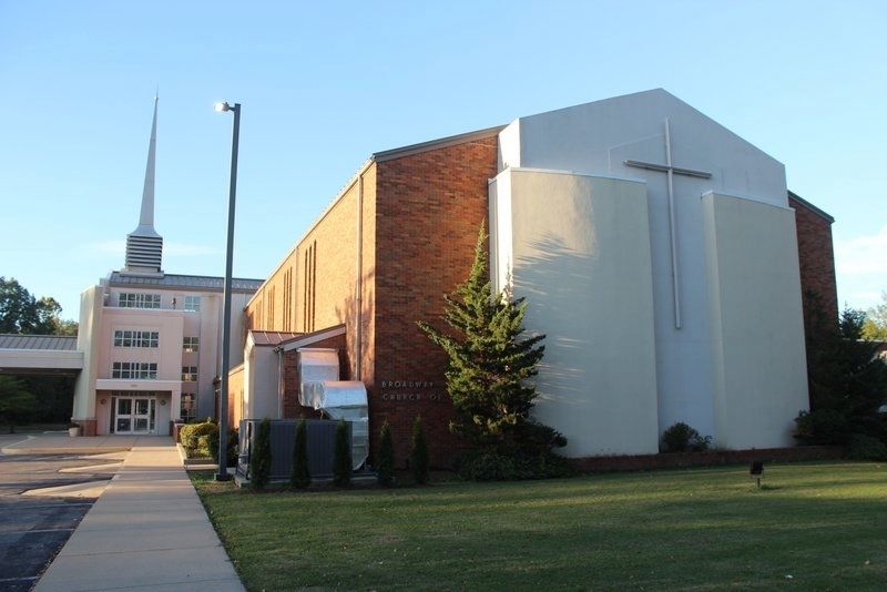
Church of Christ

Photographed by Tim Fillmon, October 21, 2021
1. Church of Christ Marker
Erected 1967 by Kentucky Historical Society-Kentucky Department of Highways. (Marker Number 1035.)
Topics and series. This historical marker is listed in this topic list: Religion & Religious Structures. In addition, it is included in the Kentucky Historical Society series list. A significant historical year for this entry is 1906.
Location. 37° 4.361′ N, 88° 37.976′ W. Marker is in Paducah, Kentucky, in McCracken County. It is on Broadway Street 0.1 miles west of South 28h Street, on the left when traveling east. Touch for map. Marker is at or near this postal address: 2855 Broadway Street, Paducah KY 42001, United States of America. Touch for directions.

Regionally, this marker is in Kentucky’s Jackson Purchase. It is also in the American Midwest, in the South, in the Upper
this page online
Other nearby markers. At least 8 other markers are within walking distance of this marker: First Baptist Church (about 400 feet away, measured in a direct line); The 1937 Flood (about 500 feet away); Westminster United Presbyterian Church (about 700 feet away); Temple Israel (approx. ¼ mile away); Oscar Turner (approx. 0.4 miles away); Otis Dinning Drive (approx. half a mile away); St. Paul Lutheran Church (approx. 0.7 miles away); Immanuel Baptist (approx. 0.7 miles away). Touch for a list and map of all markers in Paducah.
Photographed by Tim Fillmon, October 21, 2021
2. Church of Christ Marker
Credits. This page was last revised on November 10, 2021. It was originally submitted on November 10, 2021, by Tim Fillmon of Webster, Florida. This page has been viewed 551 times since then and 35 times this year. Photos: 1, 2. submitted on November 10, 2021, by Tim Fillmon of Webster, Florida.
