Asan, Guam — Pacific Ocean (Marianas Archipelago)
The Inland Offensive
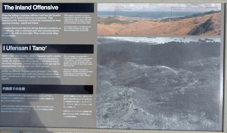
Japanese forces had dug into strong defensive positions on the hillsides, with a command post and communications center in the hills to your right. They could merely delay the inevitable.
[Aerial photo legend, left to right]
• Asan Point (Japanese caves and pillboxes)
• Asan Landing Beach (U.S. amphibious landing, July 21, 1944)
• Banzai charges July 25-26
• Fonte Plateau
Captions
• With superior numbers as well as naval and air support, U.S. Marines captured the ridge to your right and advanced toward the higher ground of Fonte Plateau (now Nimitz Hill).
• In the photo below, U.S. Marines set up a trolley stretcher to evacuate their wounded from Nimitz Hill.
[Foreign language text not transcribed]
Erected by National Park Service.
Topics. This historical marker is listed in this topic list: War, World II. A significant historical date for this entry is July 21, 1944.
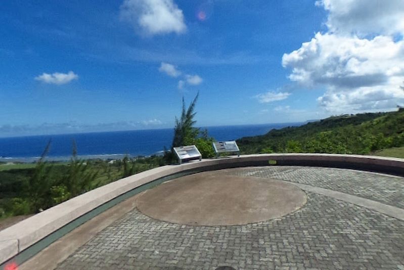
Location. 13° 27.617′ N, 144° 42.93′ E. Marker is in Asan, Guam. Marker can be reached from Highway 6, 0.2 miles south of Turner Road, on the right when traveling south. Marker is in Asan Bay Overlook in the War in the Pacific National Historical Park. Touch for map. Marker is in this post office area: Hagatna GU 96910, United States of America. Touch for directions.
Other nearby markers. At least 8 other markers are within 7 miles of this marker, measured as the crow flies. Banzai Charges (here, next to this marker); Guam 1941-1944 (a few steps from this marker); Attack, Occupation, Liberation (within shouting distance of this marker); War in the Pacific National Historical Park (approx. 0.9 miles away); Silent Guns (approx. 1.4 miles away); Japanese Two-Man Submarine (approx. 3.8 miles away); Hidden Defenses (approx. 5.4 miles away); Japanese Anti-Aircraft Gun (approx. 6.4 miles away). Touch for a list and map of all markers in Asan.
Credits. This page was last revised on November 26, 2021. It was originally submitted on November 11, 2021, by Duane and Tracy Marsteller of Murfreesboro, Tennessee. This page has been viewed 102 times since then and 4 times this year. Photos: 1, 2. submitted on November 11, 2021, by Duane and Tracy Marsteller of Murfreesboro, Tennessee.

