Bowling Green in Wood County, Ohio — The American Midwest (Great Lakes)
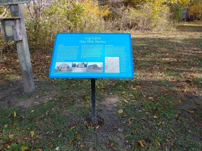
Log Cabin / 1842 Mile Marker
Log Cabin
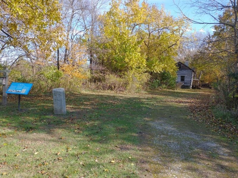
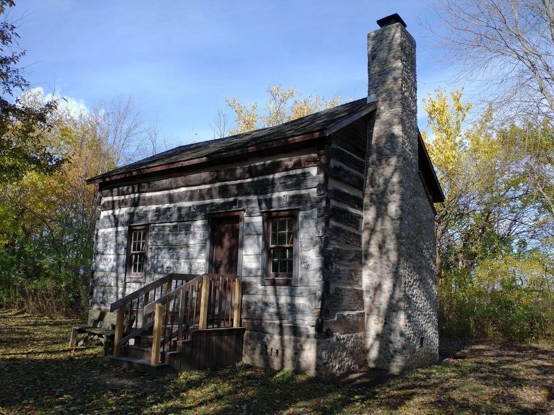
While the log cabin is not original to the site, it pays tribute to the first white settler in Center Township, Benjamin Cox. In 1827-1828, Cox built a cabin on the left bank of the Portage River near the present junction of Route 6 and County Home Road. Cox sold the property to Adam Phillips (1832), who sold it to Joseph Sargent (1854), who sold it to Abel T. Norris (1864), before becoming the property of the Wood County Commissioners for the Wood County Infirmary.
This 1860s-style log cabin was originally owned by the Buck and Largent families and located near the Buck and Lime City intersection at the present-day Penta County Vocational School. The cabin was gifted to the Wood County Historical Society and transported from its original location to the Wood County Museum on February 26, 2007. The cabin is used for educational demonstrations and museum programming.
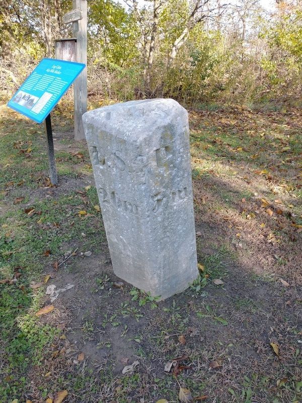
1842 Mile Marker
This limestone marker was one of many placed on the Maumee & Western Reserve Road in 1842 to mark each mile from Perrysburg to Lower Sandusky (now Fremont). In 2013, it was moved from its original position along present-day State Route 20 to the Wood County Museum. The Maumee & Western Reserve Road marked the first attempt to traverse the Great Black Swamp by an overland route. In its day, it was called "the worst road in America."
Topics. This historical marker is listed in these topic lists: Roads & Vehicles • Settlements & Settlers. A significant historical date for this entry is February 26, 2007.
Location. 41° 21.072′ N, 83° 36.877′ W. Marker is in Bowling Green, Ohio, in Wood County. Marker can be reached from County Home Road (County Road 172) east of Linwood Road (County Route 236), on the left when traveling west. Touch for map. Marker is at or near this postal address: 13660 County Home Rd, Bowling Green OH 43402, United States of America. Touch for directions.
Other nearby markers. At least 8 other markers are within walking distance of this marker. Blacksmith Shop / Oil Derrick, 1999 (within shouting distance of this marker); Boomtown District (within shouting distance of this marker); Lunatic House (about 500 feet away, measured in a direct line); Hog Barn, 1913 (about 500 feet away); Brandeberry Wall (about 500 feet away); Wood County Infirmary (about 500 feet away); Pest House (about 500 feet away); Pestilence House 1933 (about 500 feet away). Touch for a list and map of all markers in Bowling Green.
Credits. This page was last revised on November 22, 2021. It was originally submitted on November 14, 2021, by Craig Doda of Napoleon, Ohio. This page has been viewed 192 times since then and 30 times this year. Photos: 1, 2, 3, 4. submitted on November 14, 2021, by Craig Doda of Napoleon, Ohio. • Devry Becker Jones was the editor who published this page.


