Near Schuylerville in Saratoga County, New York — The American Northeast (Mid-Atlantic)
Northumberland: A Thriving Canal Community
Lakes to Locks Passage
— Champlain Canal Region —
Inscription.
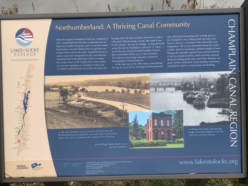
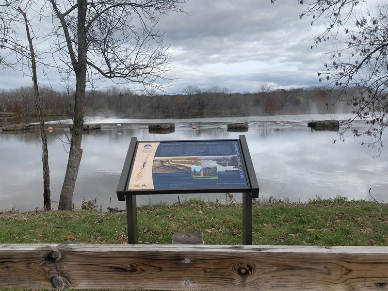
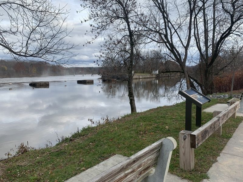
When the original Champlain Canal was completed in 1823, Northumberland became an important site for boats that travelled along the canal. It was here where boats had to cross the Hudson River to get from one section of the canal to the other. Assisted by horses or mules, boats were transported on the canal between Waterford and Northumberland, which ran along the western shore of the Hudson River. Near where you are now standing was Champlain Canal Lock 10, which would let boats out on the river above the Saratoga Falls. The falls had been dammed to create a calm pool. Without strong currents, this made it easy for the animals – by way of a bridge - to drag the boats across the river to Champlain Canal Lock 11. Once across the river, the boats entered another channel that carried them all the way to Lake Champlain. The waterway interchange attracted commercial development to Northumberland.
In the latter part of the 19th century, Jesse Billings, the son of a local doctor, developed Northumberland into a thriving boat-building and -loading area on the Champlain Canal. Billings built and sold canal boats to ship ice, a necessity of life before there was refrigeration. The ice was harvested during the winter months, stored in ice houses, and then loaded on boats. Billings also operated a general store and had interests in the local potato business, which had three separate docks for loading spuds onto canal boats. Business was good, and he constructed a brick building containing a vault that he used as a private bank and dwelling.
- The old Champlain Canal, between Schuylerville and Northumberland, ran along the west side of the Hudson River, photo circa 1917. Courtesy of the Saratoga Town Historian.
- Billings Dry Dock, showing the bridge across the Hudson. From the collection of Darryl Dumas.
- Jesse Billings' bank, which is now a private residence.
Funding for this project provided by an Environmental Protection Fund Local Waterfront Revitalization Program Grant
Hudson River Access Improvements
Town of Northumberland
www.lakestolocks.org
New York Department of State
National Geographic
America’s Byways
Andrew M. Cuomo, Governor
Rossana Rosado, Secretary of State
Bill Peck, Supervisor
Erected by America’s Byways, New York Department of State, National Geographic.
Topics. This historical marker is listed in these topic lists: Settlements & Settlers • Waterways & Vessels. A significant historical year for this entry is 1823.
Location. 43° 7.376′ N, 73° 35.247′ W. Marker is near Schuylerville, New York, in Saratoga
County. Marker is on U.S. 4, 0.2 miles north of Stark’s Knob Road, on the right when traveling north. Touch for map. Marker is in this post office area: Schuylerville NY 12871, United States of America. Touch for directions.
Other nearby markers. At least 8 other markers are within walking distance of this marker. General Stark (approx. 0.2 miles away); World War I and II and Korean Conflict Memorial (approx. ¼ mile away); Train of Artillery (2007) (approx. 0.3 miles away); Lakes to Locks Passage (approx. 0.3 miles away); Gen. Henry Knox Trail (approx. 0.3 miles away); Stark’s Knob (approx. 0.3 miles away); Hudson Valley Railway Trolley (approx. 0.4 miles away); Bridge of Boats (approx. 0.7 miles away). Touch for a list and map of all markers in Schuylerville.
Credits. This page was last revised on November 15, 2021. It was originally submitted on November 14, 2021, by Steve Stoessel of Niskayuna, New York. This page has been viewed 203 times since then and 25 times this year. Photos: 1, 2, 3. submitted on November 14, 2021, by Steve Stoessel of Niskayuna, New York. • Bill Pfingsten was the editor who published this page.


