Elsmere in Albany County, New York — The American Northeast (Mid-Atlantic)
Helderberg-Hudson Rail Trail
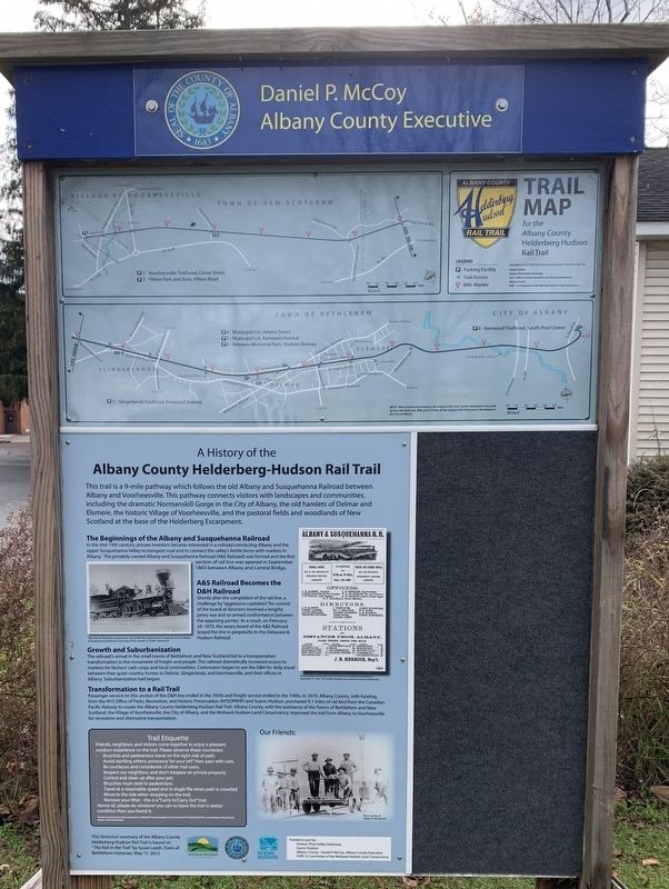
A History of the Albany County Helderberg-Hudson Rail Trail
This trail is a 9-mile pathway which follows the old Albany and Susquehanna Railroad between Albany and Voorheesville. This pathway connects visitors with landscapes and communities, including the dramatic Normanskill Gorge in the City of Albany, the old hamlets of Delmar and Elsmere, the historic Village of Voorheesville, and the pastoral fields and woodlands of New Scotland at the base of the Helderberg Escarpment.
The Beginnings of the Albany and Susquehanna Railroad
In the mid-19th century, private investors became interested in a railroad connecting Albany and the upper Susquehanna Valley to transport coal and to connect the valley's fertile farms with markets in Albany. The privately-owned Albany and Susquehanna Railroad (A&S Railroad) was formed and the first section of rail line was opened in September 1863 between Albany and Central Bridge.
A&S Railroad Becomes the D&H Railroad
Shortly after the completion of the rail line, a challenge by "aggressive capitalists” for control of the board of directors involved a lengthy proxy war and an armed confrontation between the opposing parties. As a result, on February 24, 1870, the weary board of the A&S Railroad leased the line in perpetuity to the Delaware & Hudson Railroad.
Growth and Suburbanization
The railroad's arrival in the small towns of Bethlehem and New Scotland led to a transportation transformation in the movement of freight and people. The railroad dramatically increased access to markets for farmers' cash crops and local commodities. Commuters began to use the D&H for daily travel between their quiet country homes in Delmar, Slingerlands, and Voorheesville, and their offices in Albany. Suburbanization had begun.
Transformation to a Rail Trail
Passenger service on this section of the D&H line ended in the 1930s and freight service ended in the 1990s. In 2010, Albany County, with funding from the NYS Office of Parks, Recreation, and Historic Preservation (NYSOPRHP) and Scenic Hudson, purchased 9.1 miles of rail bed from the Canadian Pacific Railway to create the Albany County Helderberg-Hudson Rail Trail. Albany County, with the assistance of the Towns of Bethlehem and New Scotland, the Village of Voorheesville, the City of Albany, and the Mohawk Hudson Land Conservancy, improved the trail from Albany to Voorheesville for recreation and alternative transportation.
This historical summary of the Albany County Helderberg-Hudson Rail Trail is based on The Rail in the Trail by Susan Leath, Town of Bethlehem Historian, May 17, 2012
Left Photo: The John D. Westover, one of the first locomotives to operate on the Albany & Susquehanna Railroad.
Right Advertisement: Announcement of the opening of the Albany and Susquehanna Railroad on September 17, 1863.
Erected by Albany County Helderberg-Hudson Rail Trail.
Topics. This historical marker is listed in these topic lists: Parks & Recreational Areas • Railroads & Streetcars. A significant historical date for this entry is February 24, 1870.
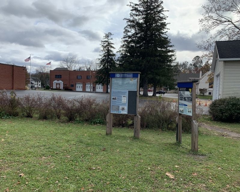
Location. 42° 37.505′ N, 73° 49.223′ W. Marker is in Elsmere, New York, in Albany County. Marker can be reached from West Poplar Drive east of Elsmere Avenue (New York State Route 335). Marker is on the bike trail 50 yards east of Elsmere Avenue. Touch for map. Marker is in this post office area: Delmar NY 12054, United States of America. Touch for directions.
Other nearby markers. At least 8 other markers are within 3 miles of this marker, measured as the crow flies. Connecting People With Communities (here, next to this marker); Town of Bethlehem Veterans Memorial (approx. 0.3 miles away); Leonard Farm Site (approx. ¾ mile away); Delmar (approx. 0.8 miles away); Albert Slingerland House (approx. 1.9 miles away); Andrew Conning (approx. 2 miles away); First Plastic (approx. 2 miles away); The Slingerlands Train Station (approx. 2.1 miles away).
Credits. This page was last revised on November 17, 2021. It was originally submitted on November 15, 2021, by Steve Stoessel of Niskayuna, New York. This page has been viewed 102 times since then and 11 times this year. Photos: 1, 2. submitted on November 15, 2021, by Steve Stoessel of Niskayuna, New York. • Bill Pfingsten was the editor who published this page.

