Voorheesville in Albany County, New York — The American Northeast (Mid-Atlantic)
Connecting People With Communities
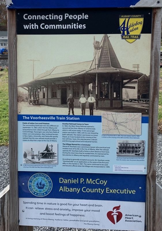
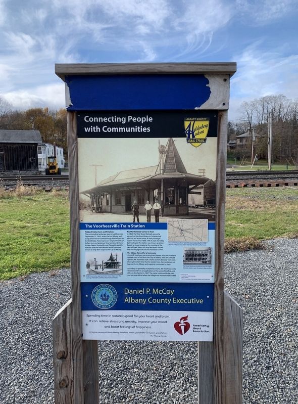
The Voorheesville Train Station
Fields of Indian Corn and Potatoes
The surrounding landscape was very different on September 15, 1863, when the first Albany and Susquehanna train rolled through from Albany to Central Bridge. Passengers saw only farm fields of Indian corn and potatoes. New Scotland farmers in New Salem, Unionville, and Clarksville quickly realized that the new railroad would provide a means to ship their crops to the City of Albany.
Another Railroad Comes to Town In 1865, the West Shore Railroad opened a second rail line from Albany to Schenectady which is still active today. A new passenger station was built in 1890, with its cost shared by both railroads. The station was known as Union Depot, as it was located at the crossing of the two rail lines. Soon, this stop became a vibrant and thriving agricultural and industrial hamlet.
The Village Named for a Commuter
Alonzo B. Voorhees was a prominent lawyer who practiced and resided most of his life in the City of Albany. After the railroad opened, Mr. Voorhees built a home a short distance from here. During the short time that he resided here, he maintained his law practice in Albany and regularly commuted by train.
According to generally-accepted accounts, Mr. Voorhees wrote "Voorheesville” on an application as the name of the first post office in this hamlet in 1867. The name continued to be used and became official when the Village was incorporated in 1899.
(lower left photo:) A D&H locomotive approaches the Union Depot near the crossing of the D&H and West Shore Railroad tracks.
(map caption:) A map of Voorheesville in 1893. The train station, built in 1890, is shown at the crossing of the DSH and West Shore Railroads.
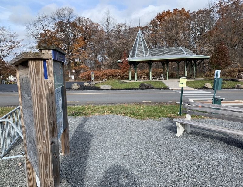
(lower right photo:) The Grove Hotel was located across the tracks from the station near the present day pavilion.
Erected by Albany County Helderberg-Hudson Rail Trail.
Topics. This historical marker is listed in these topic lists: Railroads & Streetcars • Settlements & Settlers. A significant historical date for this entry is September 15, 1863.
Location. 42° 39.316′ N, 73° 55.715′ W. Marker is in Voorheesville, New York, in Albany County. Marker is at the intersection of Grove Street and South Main Street, on the right when traveling east on Grove Street. Touch for map. Marker is at or near this postal address: 8 Grove Street, Voorheesville NY 12186, United States of America. Touch for directions.
Other nearby markers. At least 8 other markers are within walking distance of this marker. Helderberg-Hudson Rail Trail (here, next to this marker); Grove Hotel (within shouting distance of this marker); Voorhees House (about 400 feet away, measured in a direct line); Cider Mill (approx. 0.2 miles away); Site of Grist Mill 1787 (approx. 0.4 miles away); First P.O. 1868 (approx. 0.6 miles away); Schoolhouse No. 10 (approx. 0.6 miles away); Methodism (approx. ¾ mile away). Touch for a list and map of all markers in Voorheesville.
Credits. This page was last revised on November 17, 2021. It was originally submitted on November 15, 2021, by Steve Stoessel of Niskayuna, New York. This page has been viewed 135 times since then and 15 times this year. Photos: 1, 2, 3. submitted on November 15, 2021, by Steve Stoessel of Niskayuna, New York. • Bill Pfingsten was the editor who published this page.


