Auburn in Androscoggin County, Maine — The American Northeast (New England)
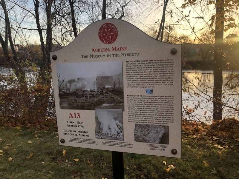
Great New Auburn Fire / Le Grand Incendie du Nouvel-Auburn
Auburn, Maine
— The Museum in the Streets® —

Photographed By Devry Becker Jones (CC0), November 11, 2021
1. Great New Auburn Fire / Le Grand Incendie du Nouvel-Auburn Marker
The Great New Auburn Fire was started by an 11-year-old boy behind a gas station on Mill Street just after lunchtime on Monday, May 15, 1933. The fire, pushed by high gusting winds, spread rapidly through old wooden tenements and businesses. Bits of burning material carried for blocks, setting fires in advance of the main blaze. Low water pressure hampered the fire fighters. Embers carried across the river and started three blazes in Lewiston. Fire crews were placed on the roofs of the massive Continental Mill and on tenement buildings on Oxford and River Streets. The fierce firestorm consumed much of lower New Auburn; 249 buildings were destroyed; 422 families and 2,167 individuals were left homeless. The Wilson School, St. Louis School, and Beth Abraham Synagogue were lost.
Erected 2019 by The Museum in the Streets®. (Marker Number A13.)
Topics and series. This historical marker is listed in these topic lists: Churches & Religion • Disasters • Education. In addition, it is included in the The Museum in the Streets®: Auburn-Lewiston, Maine series list. A significant historical date for this entry is May 15, 1933.
Location. 44° 5.66′ N, 70° 13.5′ W. Marker is in Auburn, Maine, in Androscoggin County. Marker is on Auburn Riverwalk, 0.2 miles north of Main Street (Maine Route 136) when traveling north. Touch for map. Marker is at or near this postal address: 208 Main St, Auburn ME 04210, United States of America. Touch for directions.
Other nearby markers. At least 8 other markers are within walking distance of this marker. Edward Little House 1827 / La Maison d'Edward Little 1827 (within shouting distance of this marker); Ecology of the Riverbanks / La Biodiversité des Berges

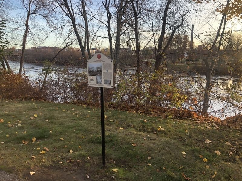
Photographed By Devry Becker Jones (CC0), November 11, 2021
2. Great New Auburn Fire / Le Grand Incendie du Nouvel-Auburn Marker
Credits. This page was last revised on November 16, 2021. It was originally submitted on November 16, 2021, by Devry Becker Jones of Washington, District of Columbia. This page has been viewed 289 times since then and 29 times this year. Photos: 1, 2. submitted on November 16, 2021, by Devry Becker Jones of Washington, District of Columbia.