Auburn in Androscoggin County, Maine — The American Northeast (New England)
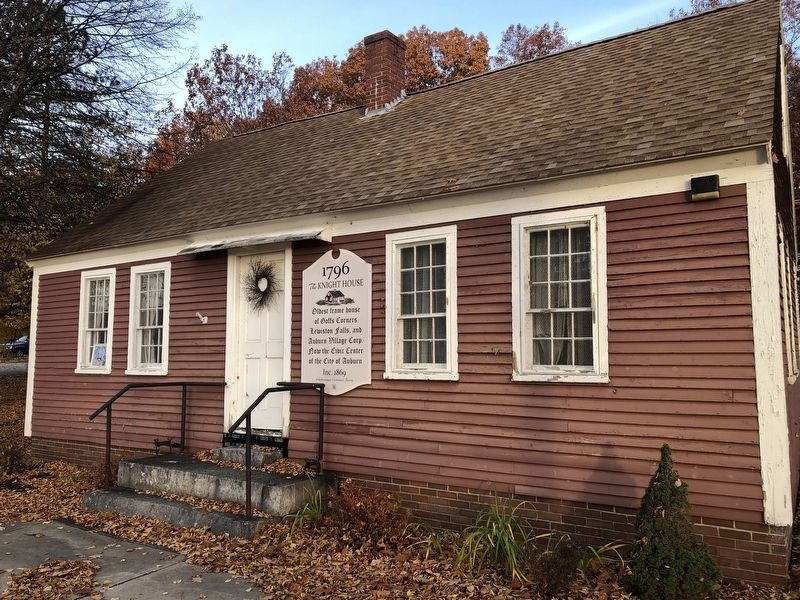
The Knight House
1796
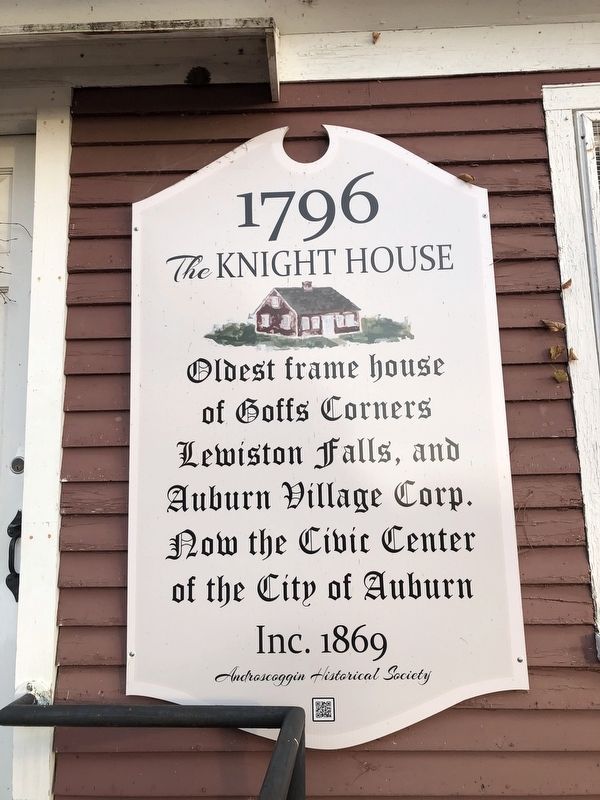
Erected by Androscoggin Historical Society.
Topics. This historical marker is listed in these topic lists: Notable Buildings • Settlements & Settlers. A significant historical year for this entry is 1796.
Location. 44° 6.026′ N, 70° 13.481′ W. Marker is in Auburn, Maine, in Androscoggin County. It is on Auburn Riverwalk 0.1 miles north of Great Falls Plaza, on the left when traveling north. Touch for map. Marker is at or near this postal address: 20 Great Falls Plaza, Auburn ME 04210, United States of America. Touch for directions.

Regionally, this marker is in the American Northeast and in New England. Globally, it is in North America, the Western Hemisphere, the Western World, and the Anglosphere.
Other nearby markers. At least 8 other markers are within walking distance of this marker: Knight House / La Maison Knight (here, next to this marker); Hydroelectric Power / L'Énergie Hydraulique (about 400 feet away, measured in a direct line); Auburn, Maine (about 400 feet away);
this page online
Credits. This page was last revised on November 16, 2021. It was originally submitted on November 16, 2021, by Devry Becker Jones of Washington, District of Columbia. This page has been viewed 597 times since then and 33 times this year. Photos: 1, 2. submitted on November 16, 2021, by Devry Becker Jones of Washington, District of Columbia.
