Montpelier in Williams County, Ohio — The American Midwest (Great Lakes)
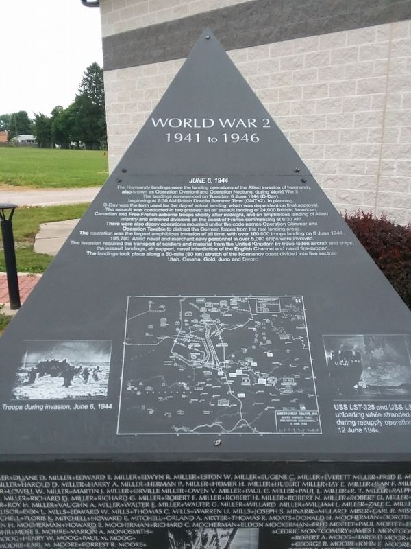
June 6, 1944
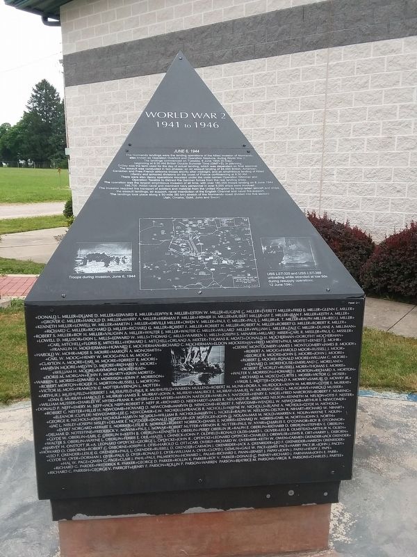
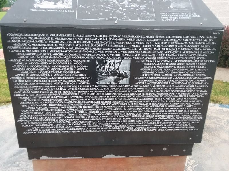
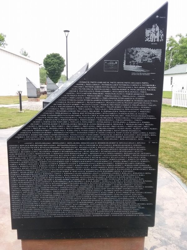
Williams County World War 2 Memorial
The Normandy landings were the landing operations of the Allied invasion of Normandy. also known as Operation Overlord and Operation Neptune, during World War II. The landings commenced on Tuesday, 6 June 1944 (D-Day). beginning at 6:30 AM British Double Summer Time (GMT 2). In planning. D-Day was the term used for the day of actual landing, which was dependent on final approval. The assault was conducted in two phases: an air assault landing of 24,000 British, American, Canadian and Free French airborne troops shortly after midnight, and an amphibious landing of Allied infantry and armored divisions on the coast of France commencing at 6:30 AM. There were also decoy operations mounted under the code names Operation Glimmer and Operation Taxable to distract the German forces from the real landing areas. The operation was the largest amphibious invasion of all time, with over 160,000 troops landing on 6 June 1944, 195,700 Allied naval and merchant navy personnel in over 5,000 ships were involved. The invasion required the transport of soldiers and material from the United Kingdom by troop-laden aircraft and ships, the assault landings, air support, naval interdiction of the English Channel and naval fire-support. The landings took place along a 50-mile (60 km) stretch of the Normandy coast divided into five sectors Utah. Omaha, Gold, Juno and Sword
Topics. This memorial is listed in this topic list: War, World II. A significant historical date for this entry is June 6, 1944.
Location. Marker has been reported permanently removed. It was located near 41° 35.246′ N, 84° 35.846′ W. Marker was in Montpelier, Ohio, in Williams County. Memorial was on East Main Street (Ohio Route 107) east of Henry Street, on the left when traveling east. Touch for map. Marker was at or near this postal address: 865 E Main St, Montpelier OH 43543, United States of America.
We have been informed that this sign or monument is no longer there and will not be replaced. This page is an archival view of what was.
Other nearby markers. At least 8 other markers are within walking distance of this location. Peace Keeping & Cold War Service Memorial (here, next to this marker); Williams County Korean War Memorial (here, next to this marker); Williams County World War II Memorial (here, next to this marker); a different marker also named Williams County World War II Memorial (here, next to this marker); a different marker also named Williams County World War II Memorial (here, next to this marker); The Great War (here, next to this marker); Williams County Vietnam War Memorial (here, next to this marker); a different marker also named Williams County World War II Memorial (here, next to this marker). Touch for a list and map of all markers in Montpelier.
Credits. This page was last revised on November 23, 2021. It was originally submitted on November 17, 2021, by Craig Doda of Napoleon, Ohio. This page has been viewed 264 times since then and 28 times this year. Photos: 1, 2, 3, 4, 5. submitted on November 17, 2021, by Craig Doda of Napoleon, Ohio. • Devry Becker Jones was the editor who published this page.
