Butte in Silver Bow County, Montana — The American West (Mountains)
Butte
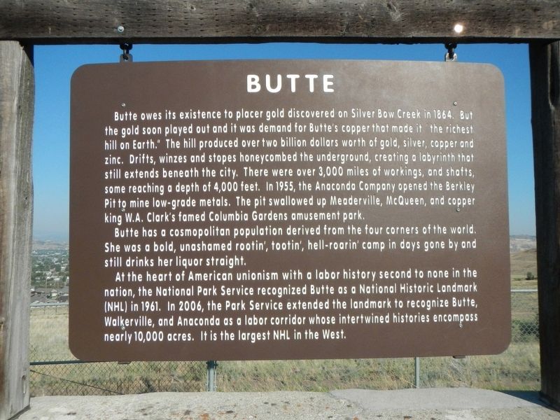
Butte has a cosmopolitan population derived from the four corners of the world. She was a bold, unashamed rotten;, tootin; hell-roaring' camp in days gone by and still drinks her liquor straight.
At the heart of American unionism with a labor history second to none in the nation, the National Park Service recognized Butte as a National Historic Landmark (NHL) in 1961. In 2006, the Park Service extended the landmark to recognize Butte, Walkerville, and Anaconda as a labor corridor whose intertwined histories encompass nearly 10,000 acres. It is the largest NHL in the West.
Topics. This historical marker is listed in these topic lists: Industry & Commerce • Settlements & Settlers.
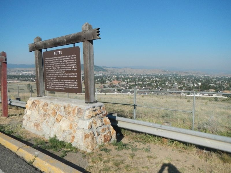
Location. 45° 59.47′ N, 112° 28.509′ W. Marker is in Butte, Montana, in Silver Bow County. Marker is on Interstate 15 near 90, on the right when traveling south. The marker is located at a pullout/overview on southbound Interstate 15. Touch for map. Marker is in this post office area: Butte MT 59701, United States of America. Touch for directions.
Other nearby markers. At least 8 other markers are within 3 miles of this marker, measured as the crow flies. The Boulder Batholith and the Richest Hill on Earth (here, next to this marker); Meaderville (a few steps from this marker); Mining The Berkeley Pit 1955-1982 (approx. 2˝ miles away); The Berkeley Pit: The Water Returns (approx. 2˝ miles away); The Berkeley Pit Threatens the Water (approx. 2˝ miles away); Butte Mining Through the Years (approx. 2˝ miles away); St. Joseph's Catholic Church (approx. 2.7 miles away); James Naughten Residence (approx. 3.1 miles away). Touch for a list and map of all markers in Butte.
Also see . . . Butte-Anaconda Historic District, Montana -- National Park Service. The Butte-Anaconda Historic District in Montana includes the communities of Butte, Anaconda, and Walkerville as well as the Butte, Anaconda & Pacific Railroad. This was one of the most productive mining regions in the United States, and the source of nearly one third of the entire world's copper in the early 1900s. Known as the "Gibraltar of Unionism," Butte was also one of the centers of the U.S. labor movement. The Butte-Anaconda Historic District showcases the industrialization of the U.S. in the late 19th and early 20th centuries and the response of organized labor to this rapid growth. (Submitted on November 18, 2021, by Barry Swackhamer of Brentwood, California.)
Credits. This page was last revised on November 18, 2021. It was originally submitted on November 18, 2021, by Barry Swackhamer of Brentwood, California. This page has been viewed 202 times since then and 21 times this year. Photos: 1, 2, 3. submitted on November 18, 2021, by Barry Swackhamer of Brentwood, California.


