Near Basin in Jefferson County, Montana — The American West (Mountains)
Mining Country
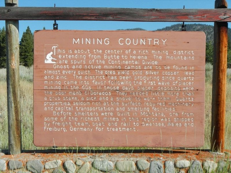
Photographed by Barry Swackhamer, July 14, 2021
1. Mining Country Marker
Ghost and active mining camps are to be found in almost every gulch. The ores yield old, silver, copper , lead and zinc. The district has been productive since quarter mining came into favor following the first wave of placer mining in the 60s. In those days placer deposits were the poor man's El Dorados. They needed little more than a grub stake, a pick and shovel to work them. Quartz properties, seldom rich at the surface, required machinery and capital, transportation and smelting facilities.
Erected by Montana Department of Transportation.
Topics. This historical marker is listed in these topic lists: Industry & Commerce • Natural Resources.
Location. 46° 16.322′ N, 112° 14.975′ W. Marker is near Basin, Montana, in Jefferson County. It is on Earth Angel Road (Basin Street) near Cataract Creek Road, on the right when traveling west. Touch for map. Marker is in this post office area: Basin MT 59631, United States of America.
this page online

Regionally, this marker is in Southwest Montana, in Gold West Country, in Mining Country and in Greater Helena. It is also in the American Mountain West and in the Lewis & Clark Corridor. Globally, it is in North America, the Rocky Mountains, the Western Hemisphere, the Western World, and the Anglosphere. Historically, it finds itself in what was once Rupert’s Land and also the Louisiana Purchase.
Other nearby markers. At least 6 other markers are within 9 miles of this marker, measured as the crow flies: Jib Mill (approx. one mile away); Jefferson County Courthouse (approx. 6.6 miles away); Montana State School (approx. 7 miles away); The Boulder River Bridge (approx. 8.6 miles away); Boulder Hot Springs (approx. 8.9 miles away); a different marker also named Boulder Hot Springs (approx. 8.9 miles away).
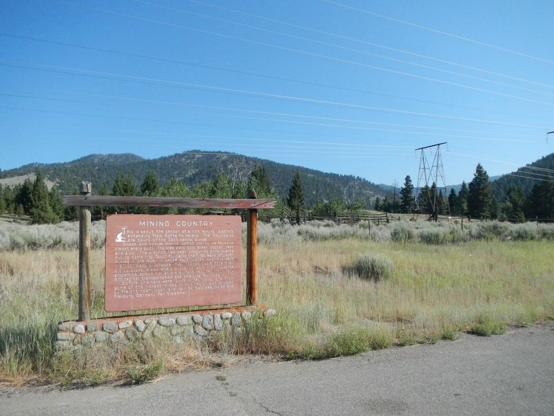
Photographed by Barry Swackhamer, July 14, 2021
2. Mining Country Marker
Credits. This page was last revised on November 18, 2021. It was originally submitted on November 18, 2021, by Barry Swackhamer of Brentwood, California. This page has been viewed 256 times since then and 27 times this year. Photos: 1, 2. submitted on November 18, 2021, by Barry Swackhamer of Brentwood, California.
