South Portland in Cumberland County, Maine — The American Northeast (New England)
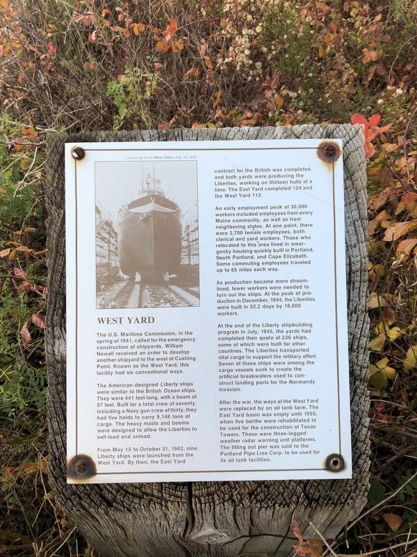
West Yard
The U.S. Maritime Commission in the spring of 1941, called for the emergency construction of shipyards. William Newell received an order to develop another shipyard to the west of Cushing Point. Known as the West Yard, this facility had six conventional ways.
The American-designed Liberty ships were similar to the British Ocean ships. They were 441 feet long, with a beam of 57 feet. Built for a total crew of seventy, including a Navy gun crew of thirty, they had five holds to carry 9,146 tons of cargo. The heavy masts and booms were designed to allow the Liberties to self-load and unload.
From May 15 to October 31, 1942, nine Liberty ships were launched from the West Yard. By then, the East Yard contract for the British was completed, and both yards were producing the Liberties, working on thirteen hulls at a time. The East Yard completed 124 and the West Yard 112.
An early employment peak of 30,000 workers included employees from every Maine community, as well as from neighboring states. At one point, there were 3,700 female employees, both clerical and yard workers. Those who relocated to this area lived in emergency housing quickly built in Portland, South Portland, and Cape Elizabeth. Some commuting employees traveled up to 65 miles each way.
As production became more streamlined, fewer workers were needed to turn out the ships. At the peak of production in December, 1944, the Liberties were built in 52.2 days by 18,000 workers.
At the end of the Liberty shipbuilding program in July, 1945, the yards had completed their quota of 236 hips, some of which were built for other countries. The Liberties transported vital cargo to support the military effort. Seven of these ships were among the cargo vessels sunk to create the artificial breakwaters used to construct landing ports for the Normandy invasion.
After the war, the ways of the West Yard were replaced by an oil tank farm. The East Yard basin was empty until 1955, when five berths were rehabilitated to be used for the construction of Texas Towers. These were three-legged weather radar warning unit platforms. The fitting out pier was sold to the Portland Pipe Line Corps. to be used for its oil tank facilities.
Topics. This historical marker is listed in these topic lists: Communications • Industry & Commerce • War, World II • Waterways & Vessels. A significant historical date for this entry is May 15, 1941.
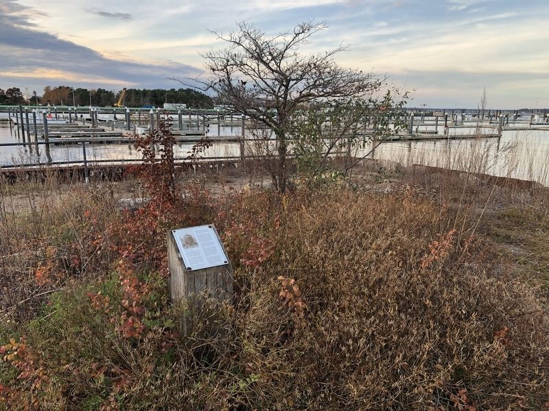
Location. 43° 39.002′ N, 70° 13.761′ W. Marker is in South Portland, Maine, in Cumberland County. Marker is on Slocum Drive west of Fort Drive, on the right when traveling west. Touch for map. Marker is at or near this postal address: 47 Slocum Dr, South Portland ME 04106, United States of America. Touch for directions.
Other nearby markers.
Credits. This page was last revised on November 18, 2021. It was originally submitted on November 18, 2021, by Devry Becker Jones of Washington, District of Columbia. This page has been viewed 100 times since then and 12 times this year. Photos: 1, 2. submitted on November 18, 2021, by Devry Becker Jones of Washington, District of Columbia.

