
Boulder in Jefferson County, Montana — The American West (Mountains)
Boulder Hot Springs
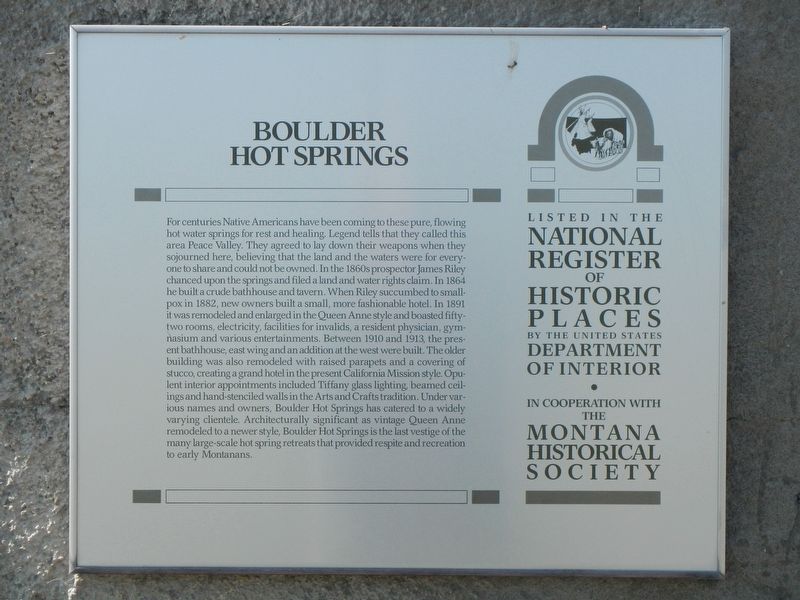
Photographed by Barry Swackhamer, July 14, 2021
1. Boulder Hot Springs Marker
this page online
Erected by Montana Historical Society.
Topics and series. This historical marker is listed in these topic lists: Architecture • Parks & Recreational Areas. In addition, it is included in the Montana National Register Sign Program series list. A significant historical year for this entry is 1864.
Location. 46° 11.988′ N, 112° 5.698′ W. Marker is in Boulder, Montana, in Jefferson County. It is on Hot Springs Road near State Highway 69, on the left when traveling west. Touch for map. Marker is at or near this postal address: 31 Hot Springs Road, Boulder MT 59632, United States of America. Touch for directions.

Regionally, this marker is in Southwest Montana, in Gold West Country, in Mining Country and in Greater Helena. It is also in the American Mountain West and in the Lewis & Clark Corridor. Globally, it is in
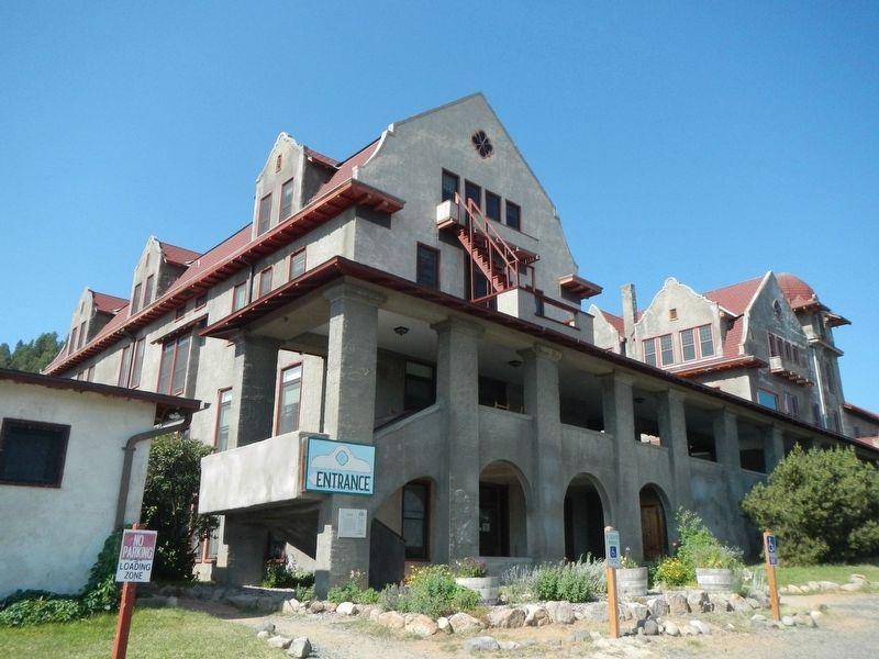
Photographed by Barry Swackhamer, July 14, 2021
2. Boulder Hot Springs and Marker
Other nearby markers. At least 8 other markers are within 10 miles of this marker, measured as the crow flies: A different marker also named Boulder Hot Springs (a few steps from this marker); The Boulder River Bridge (approx. 0.8 miles away); Montana State School (approx. 2.4 miles away); Jefferson County Courthouse (approx. 2.8 miles away); Elkhorn (approx. 8.8 miles away); Fraternity Hall (approx. 8.8 miles away); Mining Country (approx. 8.9 miles away); Jib Mill (approx. 9.7 miles away). Touch for a list and map of all markers in Boulder.
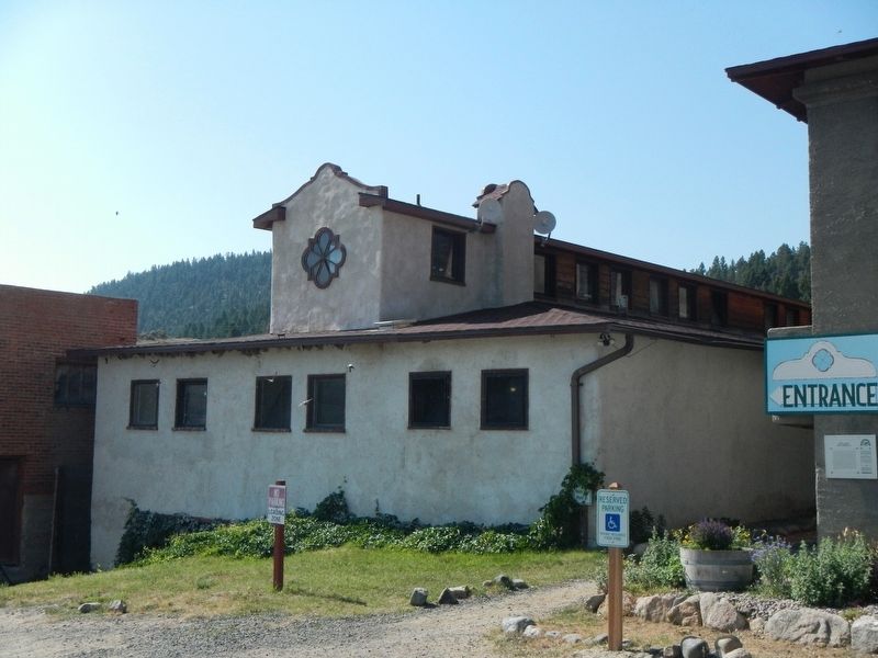
Photographed by Barry Swackhamer, July 14, 2021
3. Boulder Hot Springs
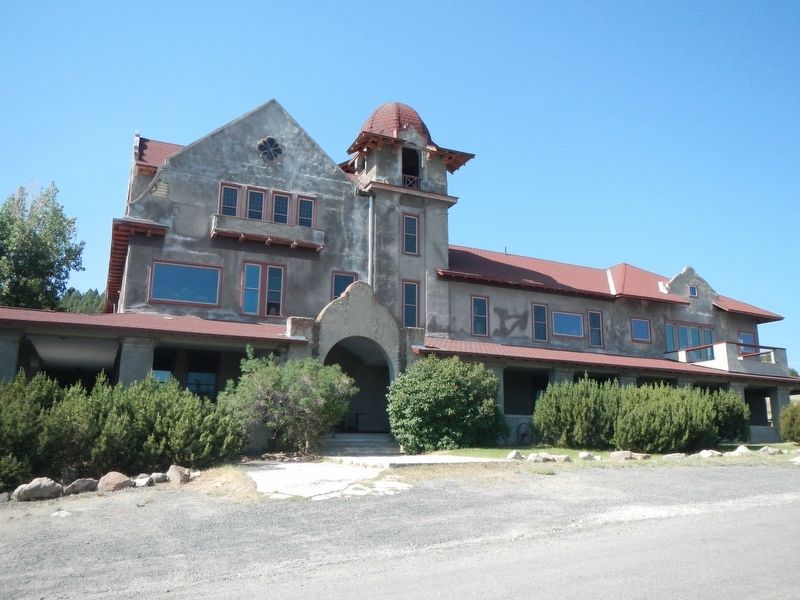
Photographed by Barry Swackhamer, July 14, 2021
4. Boulder Hot Springs Marker
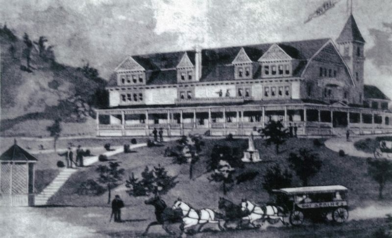
Photographed by Boulder Hot Springs
5. Boulder Hot Springs
Credits. This page was last revised on December 27, 2024. It was originally submitted on November 19, 2021, by Barry Swackhamer of Brentwood, California. This page has been viewed 323 times since then and 26 times this year. Photos: 1, 2, 3, 4, 5. submitted on November 19, 2021, by Barry Swackhamer of Brentwood, California.
