St. Marks in Wakulla County, Florida — The American South (South Atlantic)
The City of St. Marks
1828
Side 1
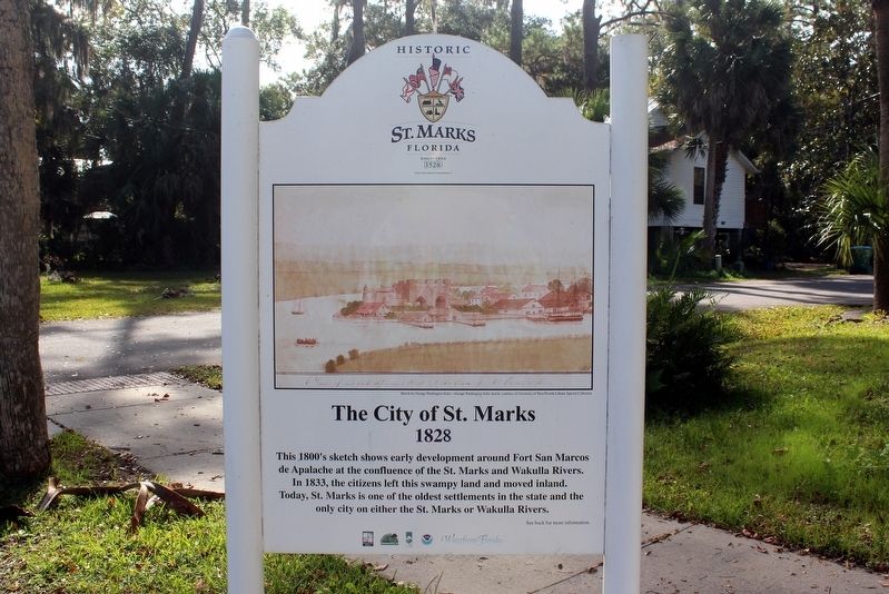
This 1800's sketch shows early development around Fort San Marcos de Apalachee at the confluence of the St. Marks and Wakulla Rivers. In 1833, the citizens left this swampy land and moved inland. Today, St. Marks is one of the oldest settlements in the state and the only city on either the St. Marks or Wakulla Rivers. See back for more information.
Side 2
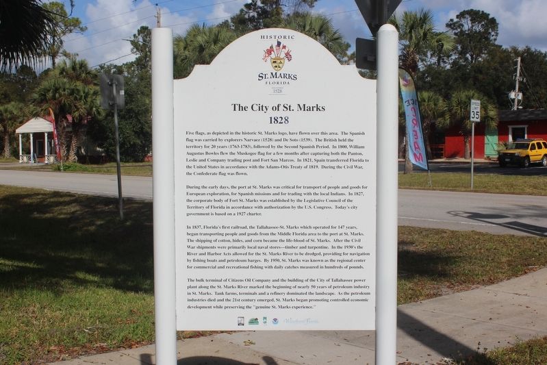
Five flags, as depicted in the historic St. Marks logo, have flown over this area. The Spanish flag was carried by explorers Narvaez (1528) and De Soto (1539). The British held the territory for 20 years (1763-1783), followed by the Second Spanish Period. In 1800, William Augustus Bowles flew the Muskogee flag for a few months after capturing both the Panton, Leslie and Company trading post and Fort San Marcos. In 1821, Spain transferred Florida to the United States in accordance with the Adams-Otis Treaty of 1819. During the Civil War, the Confederate flag was flown. During the early days, the port at St. Marks was critical for transport of people and goods for European exploration, for Spanish missions and for trading with the local Indians. In 1827, the corporate body of Fort St. Marks was established by the Legislative Council of the Territory of Florida in accordance with authorization by the U.S. Congress. Today's city government is based on a 1927 charter. In 1837, Florida's first railroad, the Tallahassee-St. Marks which operated for 147 years, began transporting people and goods from the Middle Florida area to the port at St. Marks. The shipping of cotton, hides, and corn became the life-blood of St. Marks. After the Civil War shipments were primarily local naval stores-timber and turpentine. In the 1930's the River and Harbor Acts allowed for the St. Marks River to be dredged, providing for navigation by fishing boats and petroleum barges. By 1950, St. Marks was known as the regional center for commercial and recreational fishing with daily catches measured in hundreds of pounds. The bulk terminal of Citizens Oil Company and the building of the City of Tallahassee power plant along the St. Marks River marked the beginning of nearly 50 years of petroleum industry in St. Marks. Tank farms, terminals and a refinery dominated the landscape. As the petroleum industries died and the 21st century emerged, St. Marks began promoting controlled economic development while preserving the "genuine St. Marks experience."
Erected by NOAA, Waterfront Florida, Florida Department of Community Affairs, Florida Department of Environmental Protection.
Topics. This historical marker is listed in these topic lists: Railroads & Streetcars • Settlements & Settlers • Waterways & Vessels. A significant historical year for this entry is 1833.
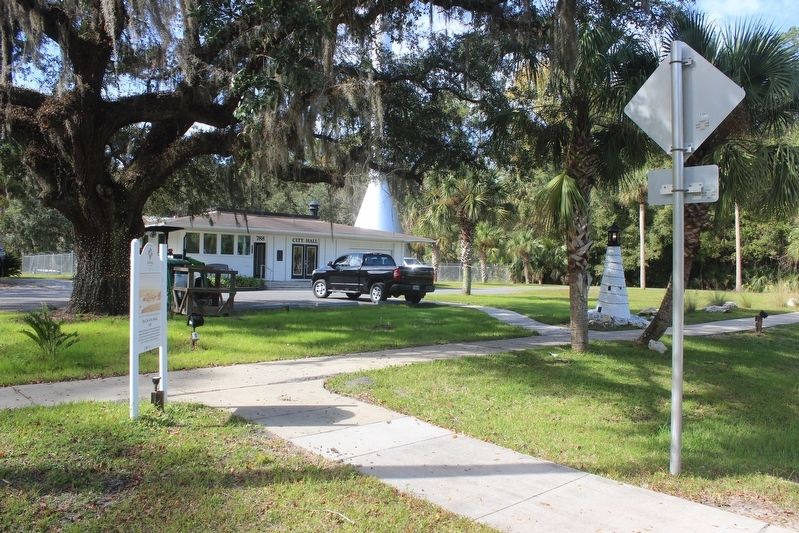
Location. 30° 9.451′ N, 84° 12.286′ W. Marker is in St. Marks, Florida, in Wakulla County. Marker is at the intersection of Port Leon Drive (Florida Route 363) and West Pine Street, on the right when traveling south on Port Leon Drive. Marker is on the grounds of city hall. Touch for map. Marker is at or near this postal address: 788 Port Leon Drive, Saint Marks FL 32355, United States of America. Touch for directions.
Other nearby markers. At least 8 other markers are within walking distance of this marker. St. Marks Bike Trail Park (about 600 feet away, measured in a direct line); Bo Lynn's Grocery (approx. 0.2 miles away); Port Leon (approx. ¼ mile away); Telltale Bones (approx. ¼ mile away); Tallahassee - St. Marks Railroad (approx. ¼ mile away); San Marcos de Apalache (approx. half a mile away); Fort St. Marks Military Cemetery (approx. half a mile away); Fort San Marcos de Apalache (approx. half a mile away). Touch for a list and map of all markers in St. Marks.
Also see . . . St. Marks, Florida. (Submitted on November 22, 2021, by Tim Fillmon of Webster, Florida.)
Credits. This page was last revised on November 22, 2021. It was originally submitted on November 22, 2021, by Tim Fillmon of Webster, Florida. This page has been viewed 243 times since then and 48 times this year. Photos: 1, 2, 3. submitted on November 22, 2021, by Tim Fillmon of Webster, Florida.


