
Perrysburg in Wood County, Ohio — The American Midwest (Great Lakes)
The Simmons House
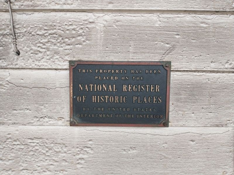
Photographed by Craig Doda, November 21, 2021
1. The Simmons House Marker
placed on the
National Register
of Historic Places
by the United States
Department of the Interior
Topics. This historical marker is listed in this topic list: Notable Buildings.
Location. 41° 32.753′ N, 83° 35.519′ W. Marker is in Perrysburg, Ohio, in Wood County. It is at the intersection of Fremont Pike (U.S. 20) and Simmons Road, on the right when traveling west on Fremont Pike. Touch for map. Marker is at or near this postal address: 10302 Fremont Pike, Perrysburg OH 43551, United States of America. Touch for directions.

Regionally, this marker is in Ohio’s Black Swamp, in the Till Plains, and in the Toledo Metropolitan Area. It is also in the American Midwest and in the Corn Belt. Globally, it is in North America, on the Great Lakes, in the Western Hemisphere, in the Western World, and in the Anglosphere. Historically, it finds itself in what was once the Haudenosaunee (Iroquois) Confederacy, the territory of the Mississippian Culture, and the Northwest Territory.
Other nearby markers. At least 8 other markers
this page online
Another marker is no longer nearby. to Brady's Island / to Fort Miami (was approx. 0.7 miles away but has been confirmed missing).
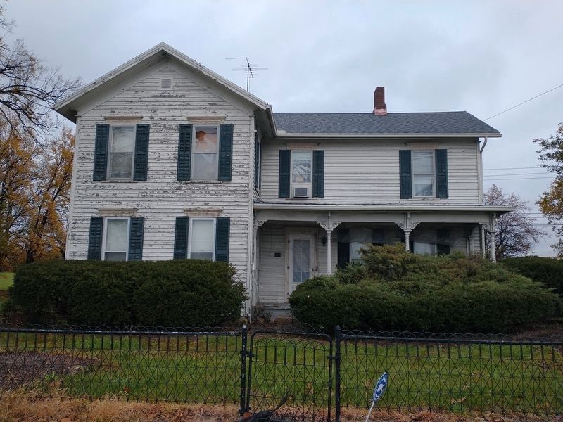
Photographed by Craig Doda, November 21, 2021
2. The Simmons House
Credits. This page was last revised on June 2, 2022. It was originally submitted on November 22, 2021, by Craig Doda of Napoleon, Ohio. This page has been viewed 784 times since then and 83 times this year. Photos: 1. submitted on November 22, 2021, by Craig Doda of Napoleon, Ohio. 2. submitted on May 27, 2022, by Craig Doda of Napoleon, Ohio. • Devry Becker Jones was the editor who published this page.
