Near St. Marks in Wakulla County, Florida — The American South (South Atlantic)
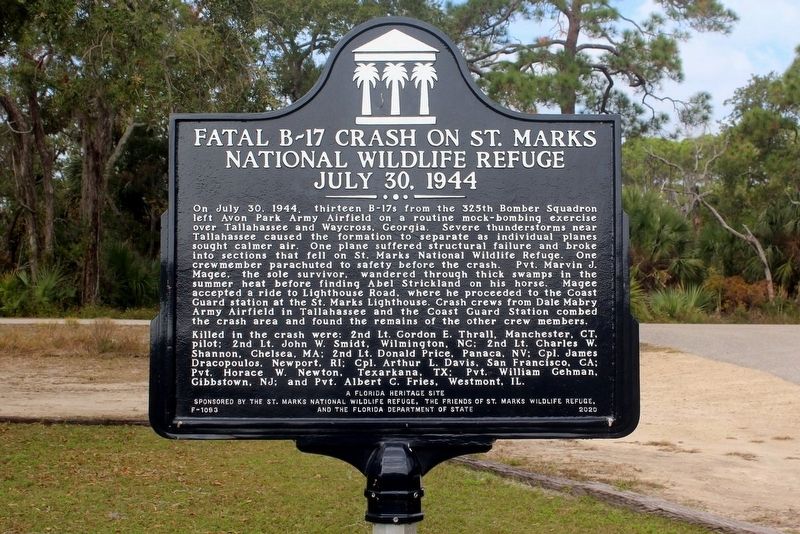
Fatal B-17 Crash On St. Marks National Wildlife Refuge
July 30, 1944
Photographed by Tim Fillmon, November 18, 2021
1. Fatal B-17 Crash On St. Marks National Wildlife Refuge July 30, 1944 Marker
Killed in the crash were: 2nd Lt. Gordon E. Thrall, Manchester, CT. pilot; 2nd Lt. John W. Smidt, Wilmington, NC; 2nd Lt. Charles W. Dracopoulos, Newport, RI; Cpl. Arthur L. Davis, San Francisco, CA; Pvt. Horace W. Newton, Texarkana, TX; Pvt. William Gehman, Gibbstown, NJ; and Pvt.
this page online
Erected 2020 by The St. Marks National Wildlife Refuge, The Friends of St. Marks Wildlife Refuge, and the Florida Department of State. (Marker Number F-1093.)
Topics. This historical marker is listed in these topic lists: Air & Space • Disasters • War, World II. A significant historical date for this entry is July 30, 1944.
Location. 30° 5.218′ N, 84° 9.94′ W. Marker is near St. Marks, Florida, in Wakulla County. It is on Lighthouse Road (County Road 59) 9 miles south of U.S. 98, on the left when traveling south. Marker is located just north of the lighthouse. Touch for map. Marker is in this post office area: Saint Marks FL 32355, United States of America. Touch for directions.

Regionally, this marker is in Florida’s Big Bend and in Greater Tallahassee. It is also in the American South, specifically in the Deep South, and on the Gulf Coast. Globally, it is in the North Atlantic Region, North America, a Gulf of Mexico state, the Western Hemisphere, the Western World, and the Anglosphere. Historically, it finds itself in what was once New Spain, the territory of the Mississippian Culture,
Photographed by Tim Fillmon, November 18, 2021
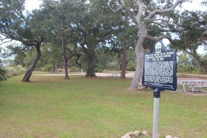
2. Fatal B-17 Crash Marker looking south
Other nearby markers. At least 8 other markers are within 6 miles of this marker, measured as the crow flies: St. Marks Lighthouse (approx. 1.2 miles away); a different marker also named St. Marks Lighthouse (approx. 1.2 miles away); Port Leon (approx. 4.6 miles away); The Old Store on the Wakulla River (approx. 5.2 miles away); Telltale Bones (approx. 5.2 miles away); a different marker also named Port Leon (approx. 5.2 miles away); San Marcos de Apalache (approx. 5.2 miles away); Bo Lynn's Grocery (approx. 5.2 miles away). Touch for a list and map of all markers in St. Marks.
Another marker is no longer nearby. Port Leon (was approx. 5.2 miles away but has been confirmed missing).
Also see . . .
1. Saint Marks Bomber Rediscovered. WFSU website entry (Submitted on November 22, 2021, by Tim Fillmon of Webster, Florida.)
2. Date: Sunday 30 July 1944 Time: 17:30 Type: B17, United States Army Air Force (USAAF). Aviation Safety Network website entry (Submitted on March 5, 2025, by Larry Gertner of New York, New York.)
Photographed by Tim Fillmon, November 18, 2021
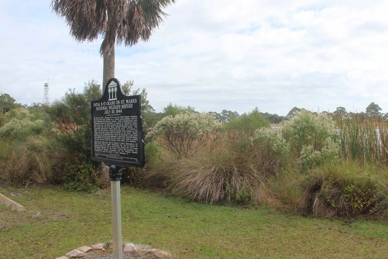
3. Fatal B-17 Crash Marker looking north
Fire tower in background
Credits. This page was last revised on March 5, 2025. It was originally submitted on November 22, 2021, by Tim Fillmon of Webster, Florida. This page has been viewed 1,536 times since then and 112 times this year. Photos: 1, 2, 3. submitted on November 22, 2021, by Tim Fillmon of Webster, Florida.
