Sioux Falls in Minnehaha County, South Dakota — The American Midwest (Upper Plains)
1936 Powder House Blast
November 22, 2021
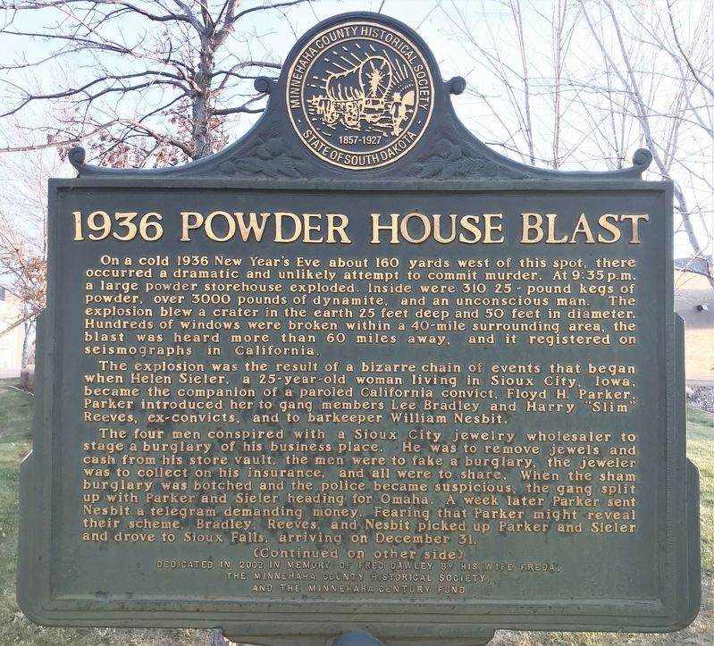
1. 1936 Powder House Blast Marker
On a cold 1936 New Year's Eve about 160 yards west of this spot, there occurred a dramatic and unlikely attempt to commit murder. At 9:35 p.m. a large powder storehouse exploded. Inside were 310 25-pound kegs of powder, over 3000 pounds of dynamite, and an unconscious man. The explosion blew a crater in the earth 25 feet deep and 50 feet in diameter. Hundreds of windows were broken within a 40-mile surrounding area, the blast was heard more than 60 miles away, and it registered on seismographs in California.
The explosion was the result of a bizarre chain of events that began when Helen Sieler, a 25-year-old woman living in Sioux City, Iowa, became the companion of a paroled California convict, Floyd H. Parker. Parker introduced her to gang members Lee Bradley and Harry "Slim" Reeves, ex-convicts, and to barkeeper William Nesbit.
The four men conspired with a Sioux City jewelry wholesaler to stage a burglary of his business place. He was to remove jewels and cash from his store vault, the men were to fake a burglary, the jeweler was to collect on his insurance, and all were to share. When the sham burglary was botched
this page online
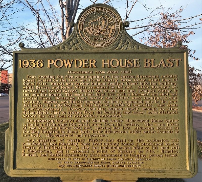
That evening the five rode together to the Larson Hardware powder house located on the Fred and Freda Dawley farm three miles east of Sioux Falls. Nesbit and Parker helped Bradley break into the building, while Reeves and Helen Sieler remained in the car. After Bradley attacked and felled Parker, Nesbit ran to the car and brought Sieler to the powder house. The men then beat her with a hammer and shot her several times. Believing that Parker and Sieler were incapacitated, Bradley, Reeves, and Nesbit dumped the badly wounded pair in the powder house, lit a 10-foot-long fuse tied to a stick of dynamite, and made a hurried getaway. However, the fuse burned slowly enough to allow Helen Sieler time to escape from the building and crawl some distance before the five tons of explosives detonated.
Neighboring farmers Ed and Sheldon
November 22, 2021
2. 1936 Powder House Blast Marker
Any question of whether Parker had died in the explosion was resolved in late February when Fred Dawley found a blackened human finger at the blast site. A city lab technician was able to ink and roll a fingerprint, and it matched a print of Parker's on file. Bradley, Reeves, and Nesbit eventually were sentenced to lengthy prison terms.
Erected 2002 by the Minnehaha County Historical Society and the Minnehaha Century Fund, in memory of Fred Dawley by his wife Freda, and Louis and Anna Horsman by their granddaughter Carol Dawley Everetts.
Topics. This historical marker is listed in these topic lists: Disasters • Industry & Commerce. A significant historical date for this entry is December 31, 1936.
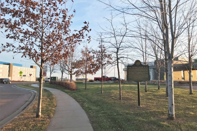
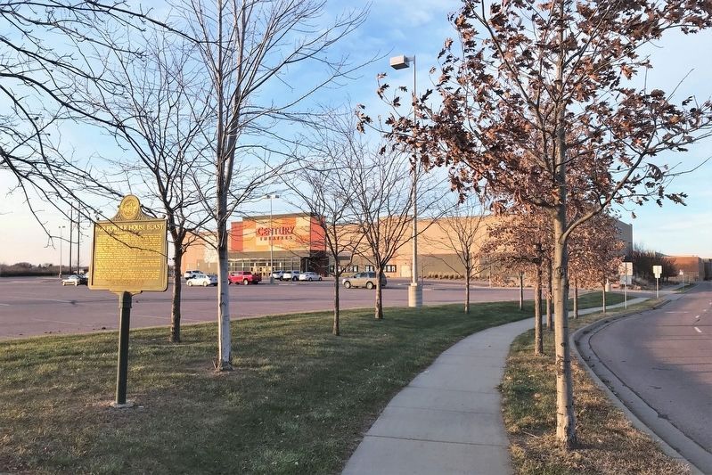
Location. 43° 32.177′ N, 96° 39.293′ W. Marker is in Sioux Falls, South Dakota, in Minnehaha County. It is on South Highline Place north of East 18th Street, on the
November 22, 2021
3. 1936 Powder House Blast Marker

Regionally, this marker is in East River. It is also in the American Midwest, in the Lewis & Clark Corridor, in the Corn Belt, on the prairies, and on the Northern Plains. Globally, it is in North America, the Western Hemisphere, the Western World, and the Anglosphere. Historically, it finds itself in what was once Rupert’s Land and also the Louisiana Purchase.
Other nearby markers. At least 8 other markers are within 3 miles of this marker, measured as the crow flies: Mission Church (approx. 1½ miles away); Military Road (approx. 2.1 miles away); Sioux Falls (approx. 2.2 miles away); Fort Dakota Soldiers (approx. 2.2 miles away); Arrowhead Park (approx. 2.2 miles away); Mount Pleasant Cemetery (approx. 2.3 miles away); Buffalo Bill (approx. 2.3 miles away); The First "Flying Machine" (approx. 2.3 miles away). Touch for a list and map of all
November 22, 2021
4. 1936 Powder House Blast Marker
Credits. This page was last revised on March 7, 2025. It was originally submitted on November 23, 2021. This page has been viewed 5,841 times since then and 474 times this year. Photos: 1, 2, 3, 4. submitted on November 23, 2021. • J. Makali Bruton was the editor who published this page.
